The lesson I learned this day was: you can measure the kilometers/meters of ascent of a route, but it doesn’t really tell you what it’s actually like. This may seem really obvious, but I find that knowing it intellectually and having experienced it yourself are two different things.
Here’s an example: in Germany, I hiked 38km/2600m in 7 1/2 hours of walking + 4 hours ‘break’ (not all necessary breaks, but, for example, waiting for other people to get out of the way, putting water from a big bottle into a small one, taking pictures, those kind of things… okay, I also had a pint along the way at one of the several mountai ‘chalets’); yesterday, 20km/1500m took about 7 hours of walking + 3 hours break; and today, we took about 3 hours of walking + 45 mins break to cover just 5km/650m – we could have maybe shortened it to about 3 hours in total by cutting breaks to a minimum, not messing about at the top, not taking pictures, etc., but much under 3 hours would have meant dangerously rushing it (for us). You can’t see that simply from those 2 simple distance/ascent statistics, as helpful as they are.
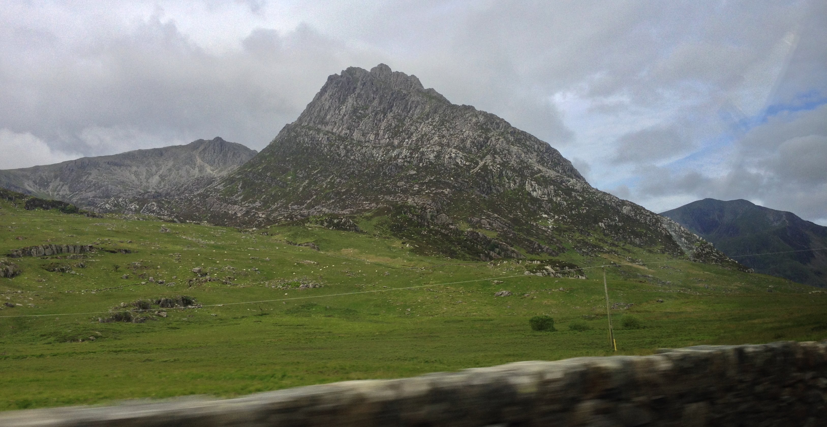
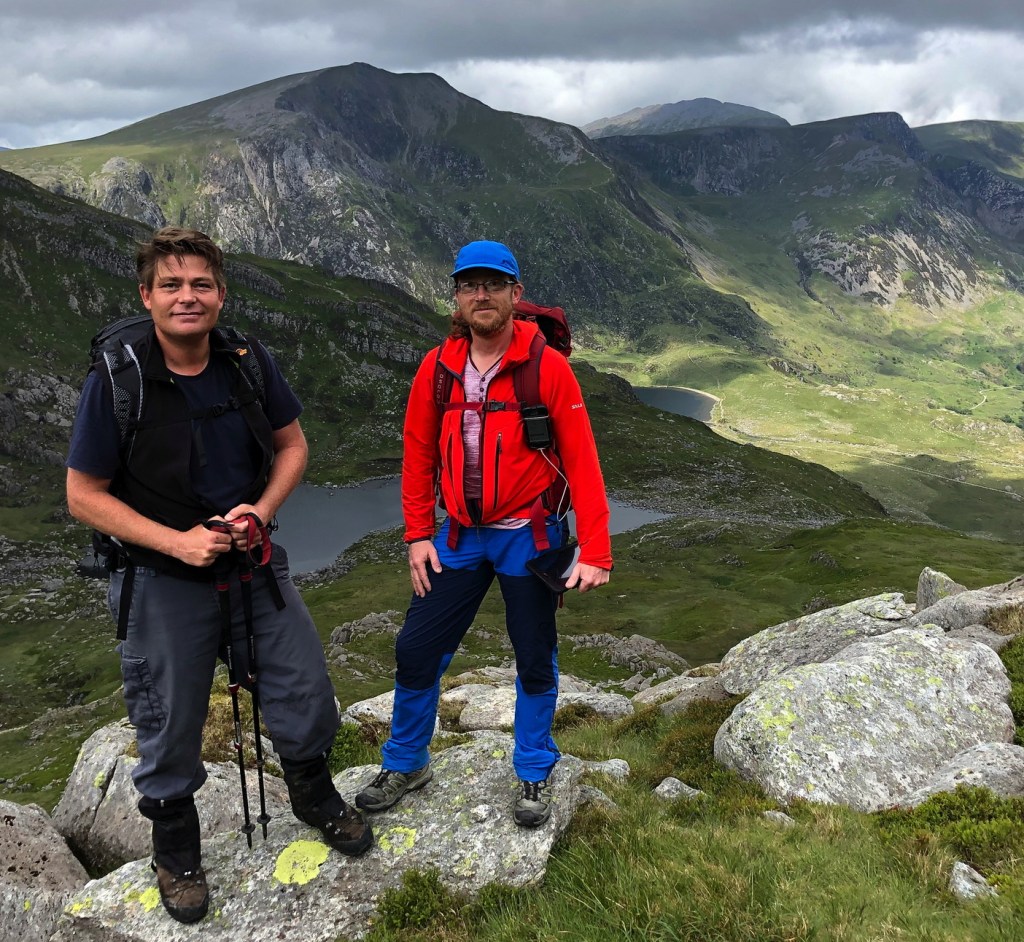
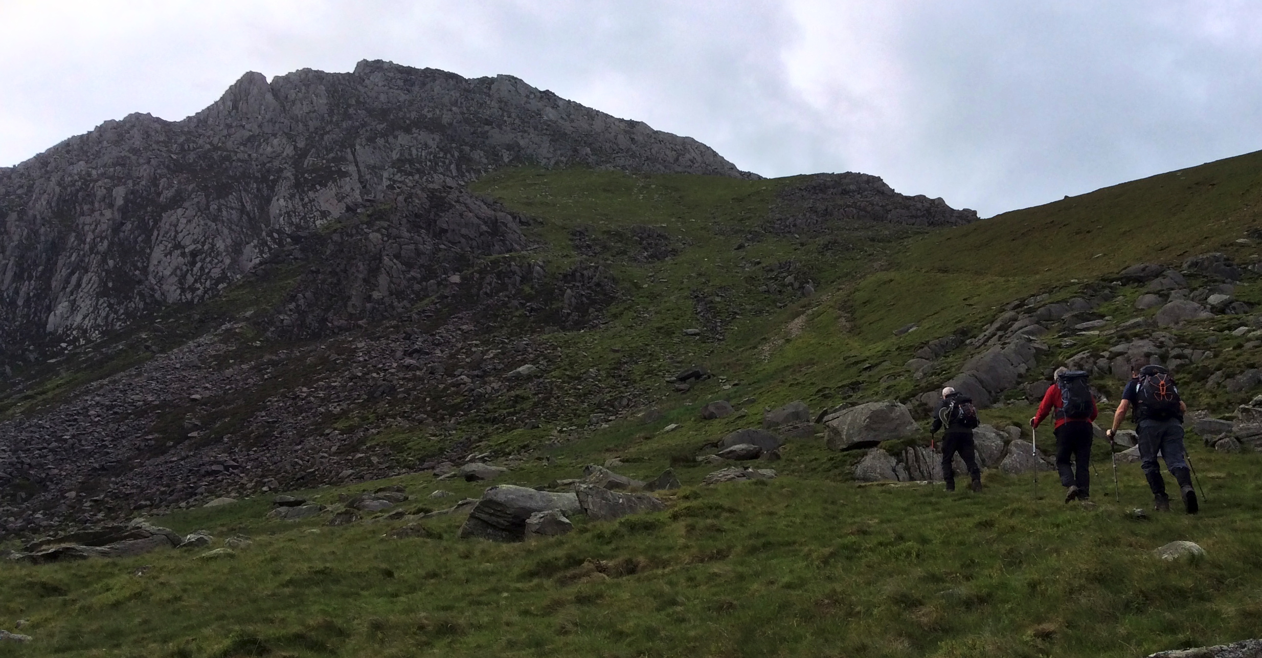
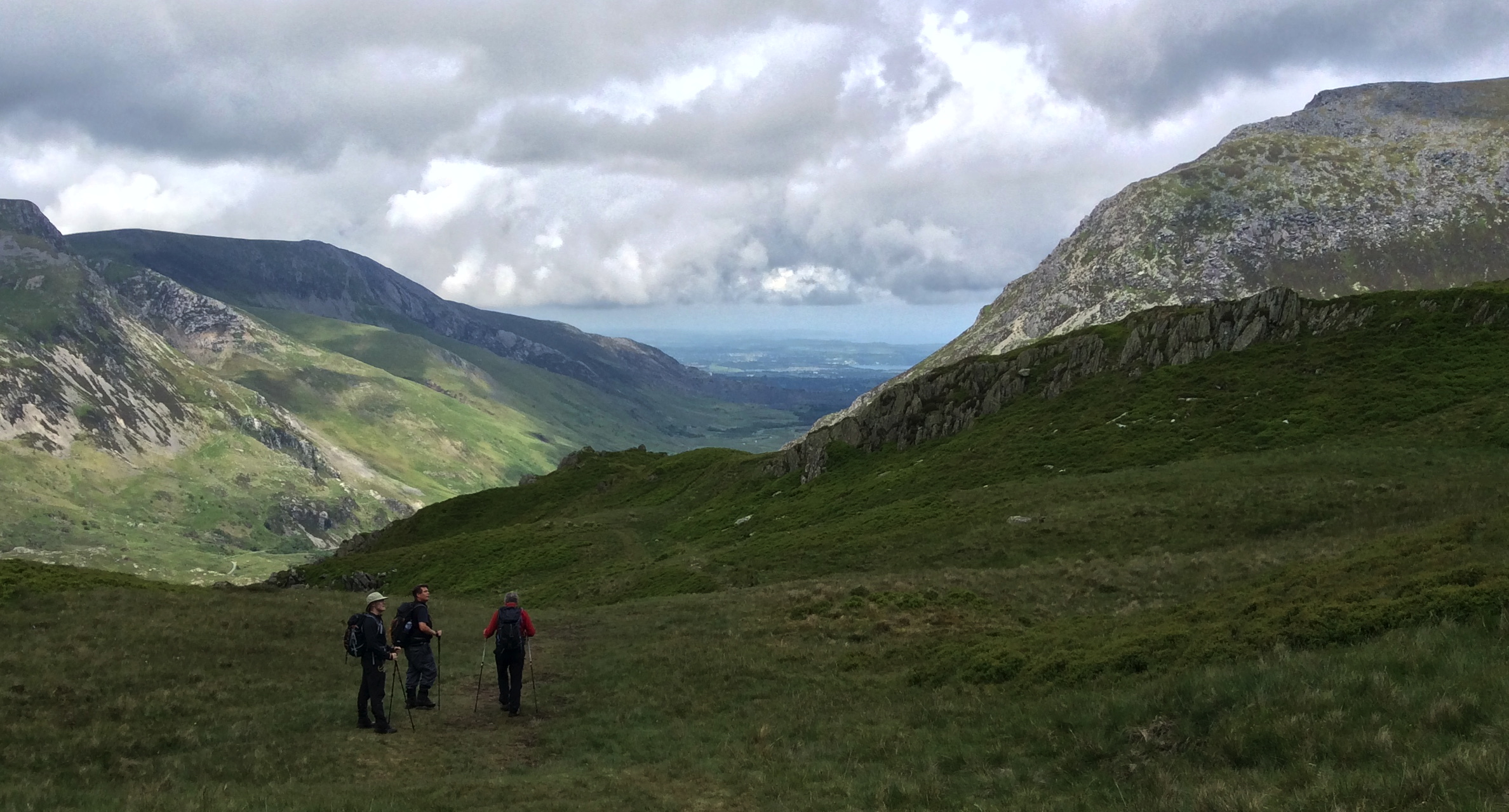
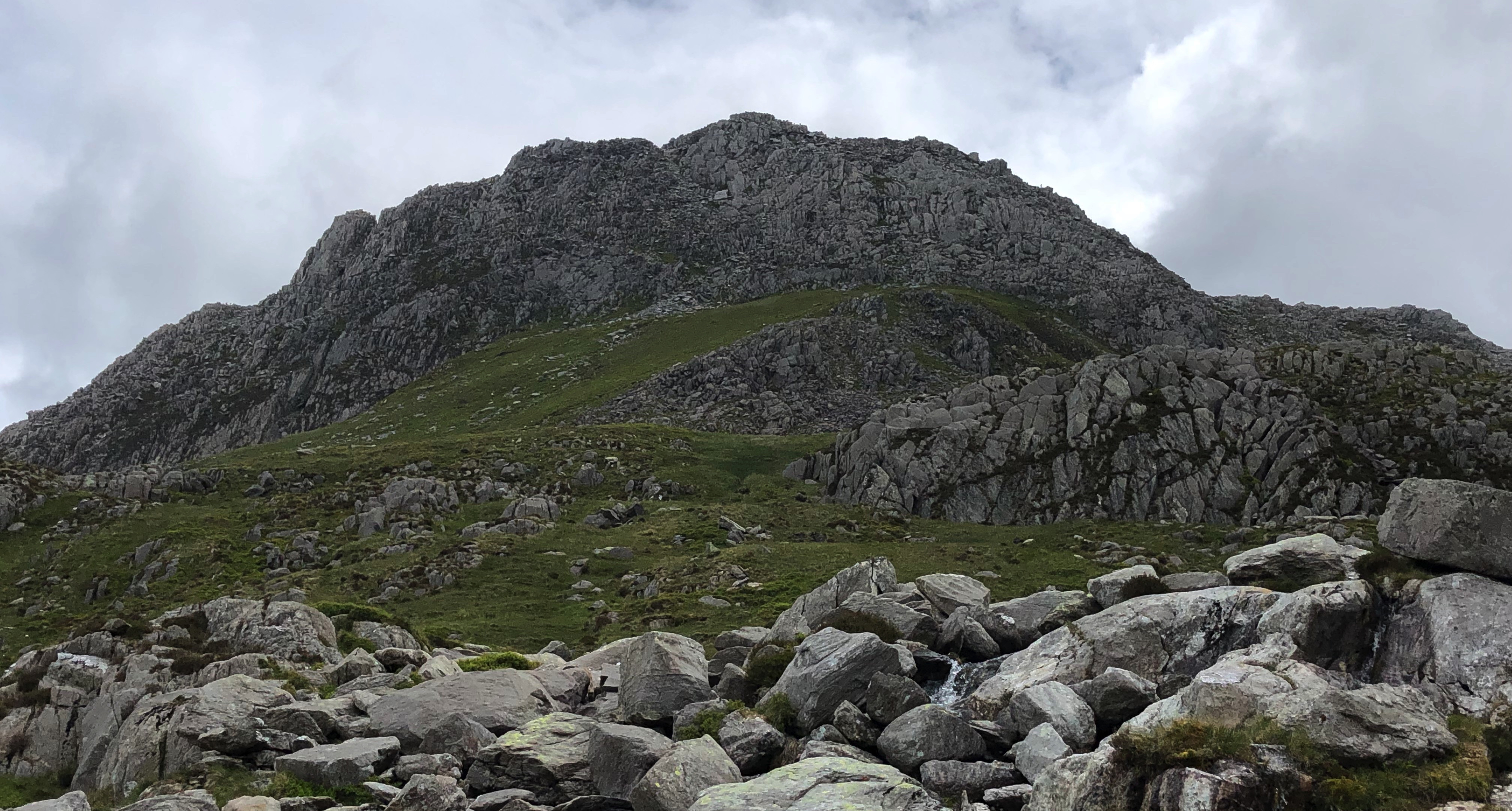
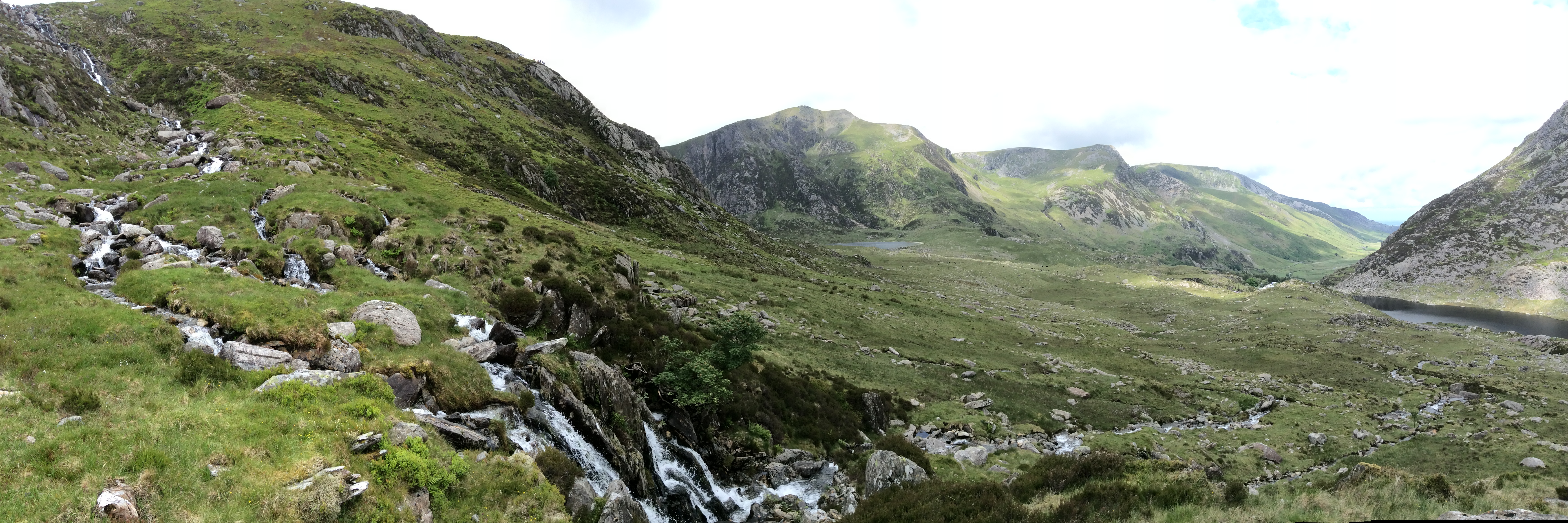
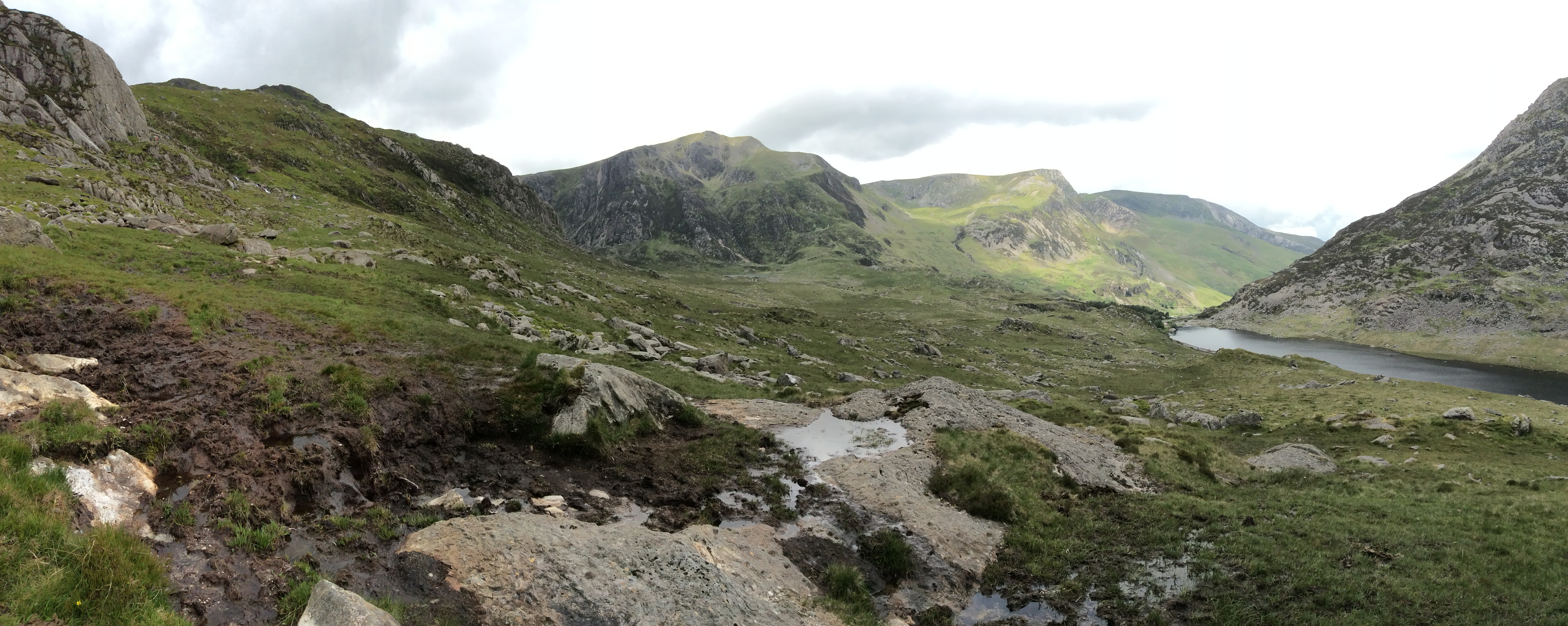
Anyway, the walk on Tuesday 18th June started at the car park at the foot of Tryfan. This isn’t the way you do it as part of the 3000ers, but we had a 5 hour drive back to Scotland afterwards, so it was not so much about completing an ‘epic’ task as much as having a good time doing a good walk (scramble!) before hitting the motorway to Scotland.
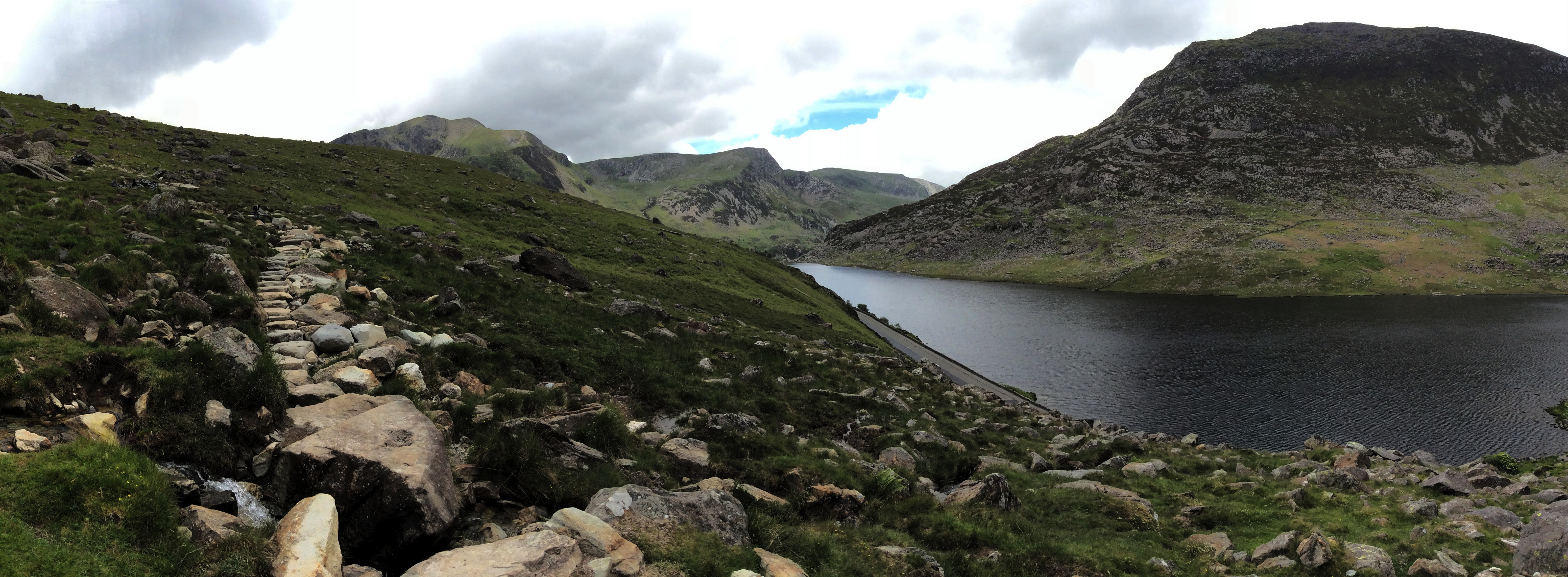
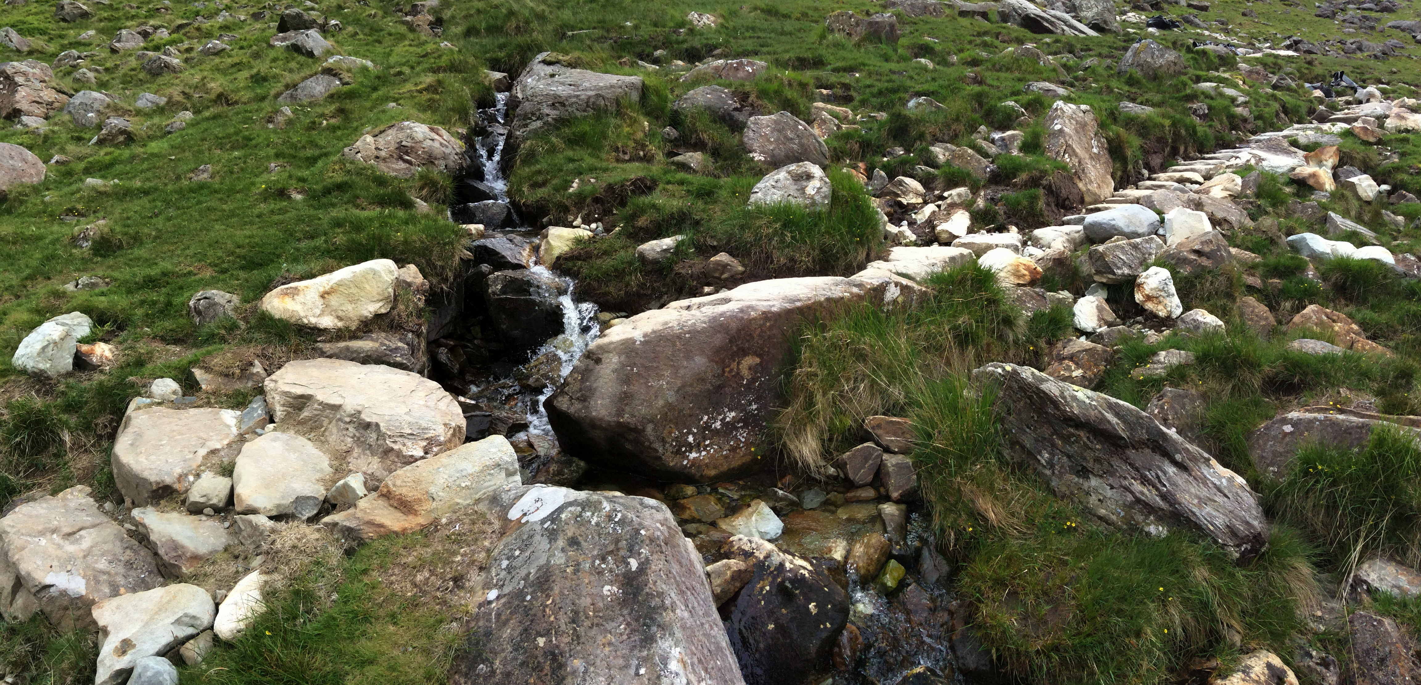
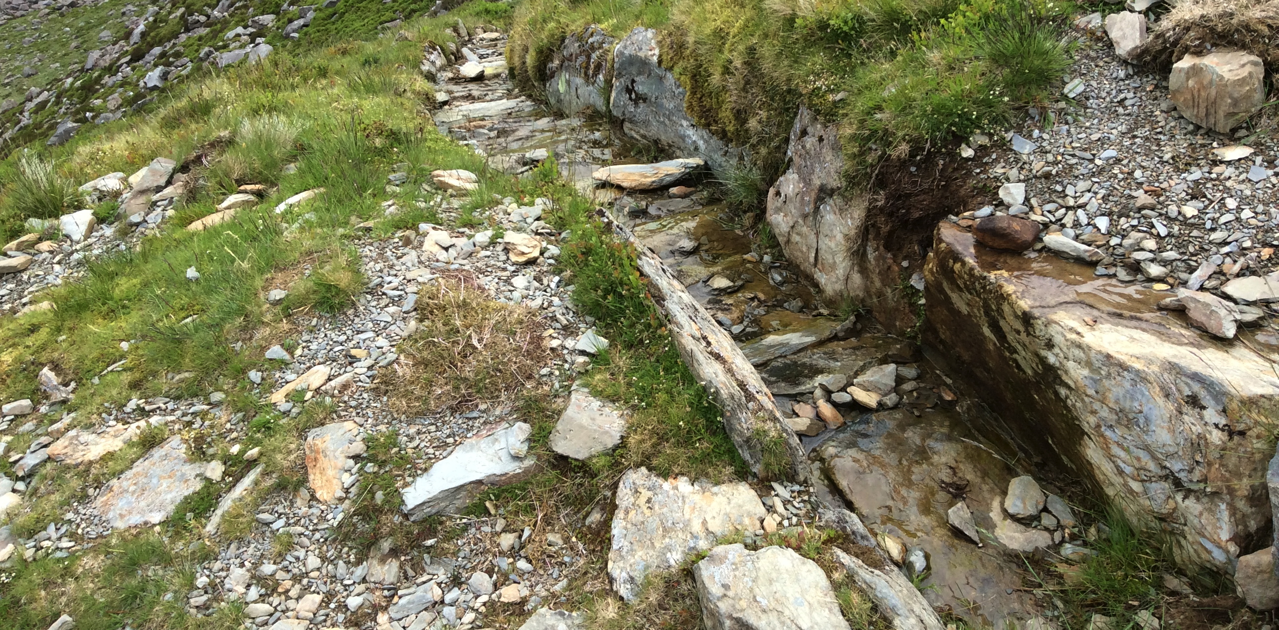
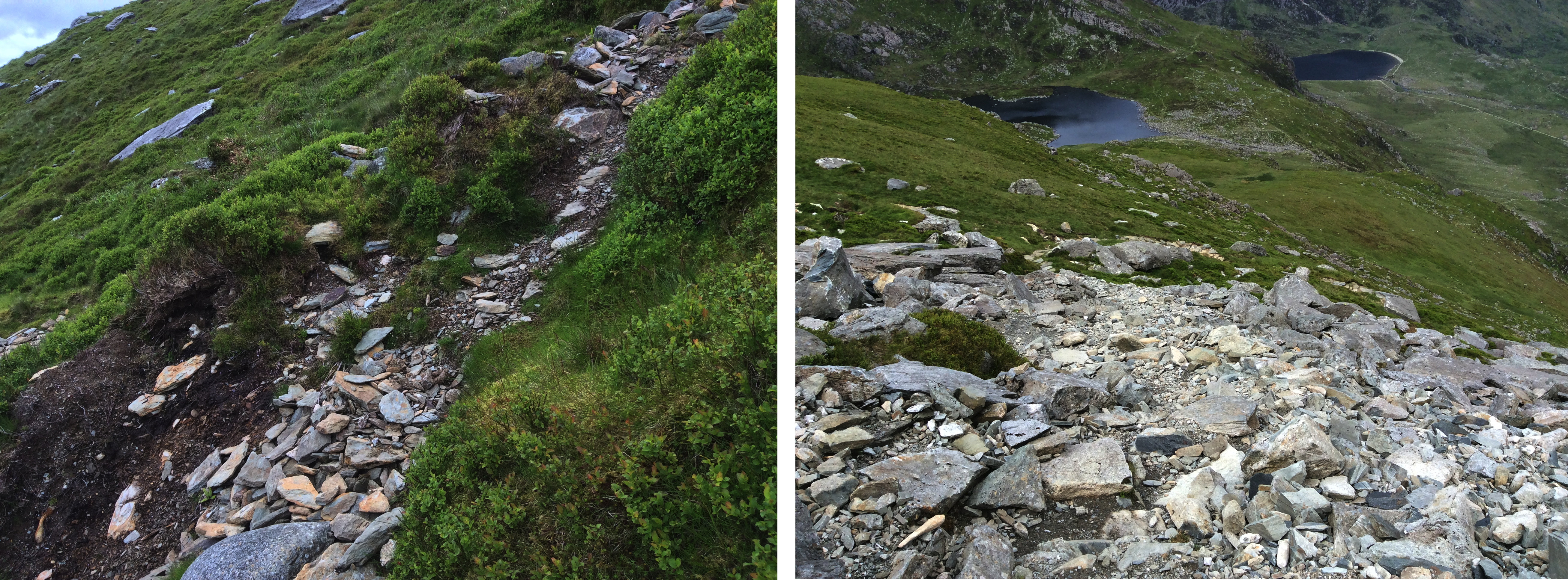
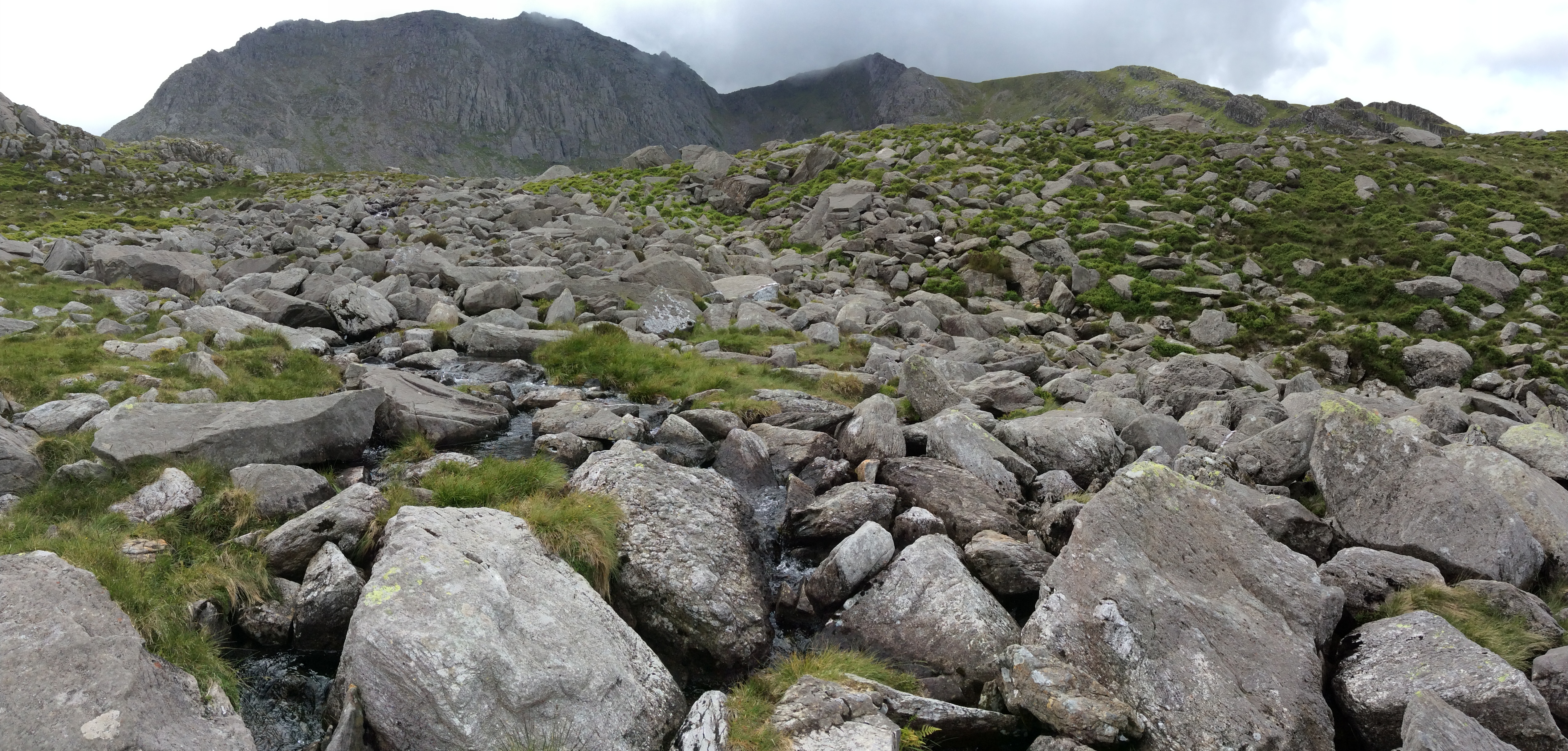
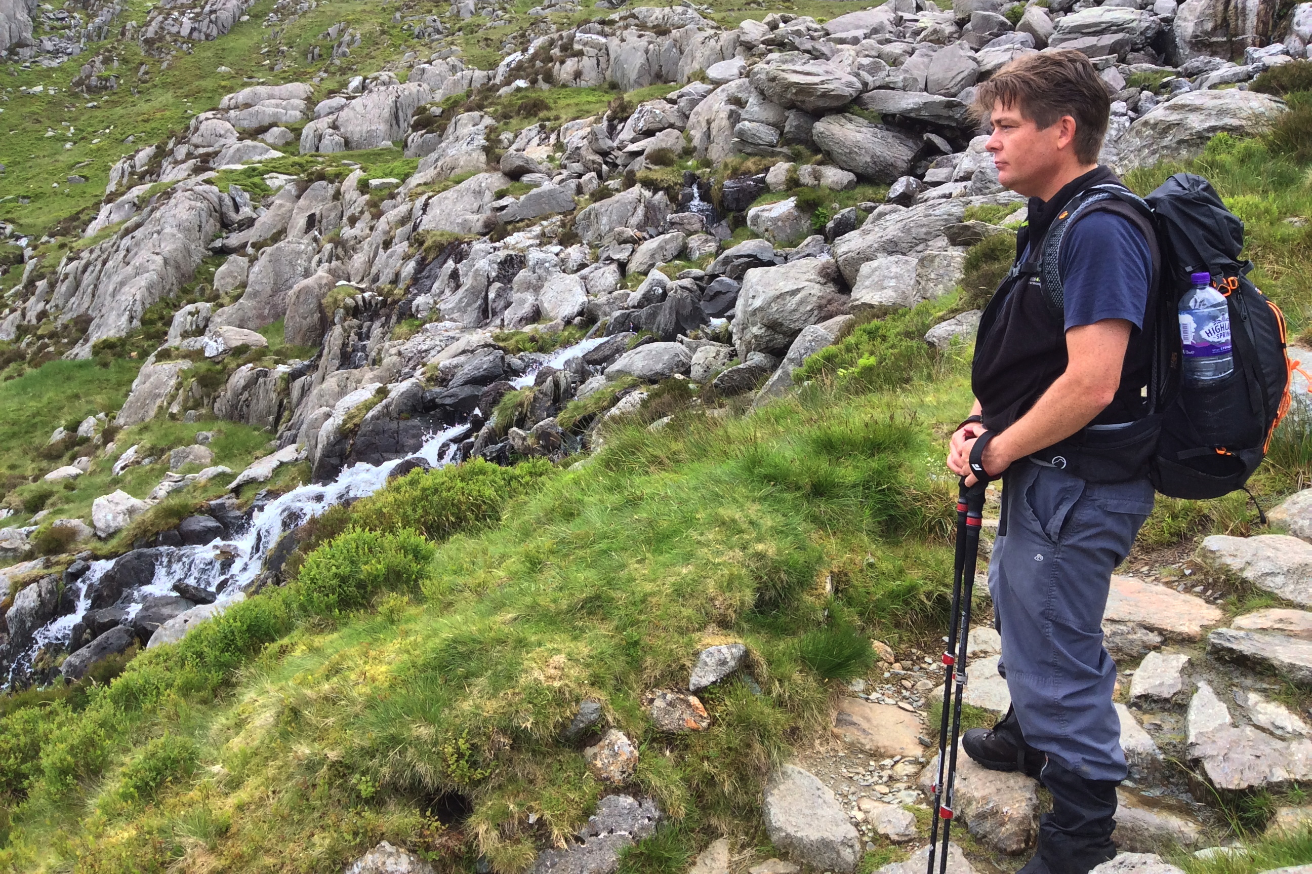
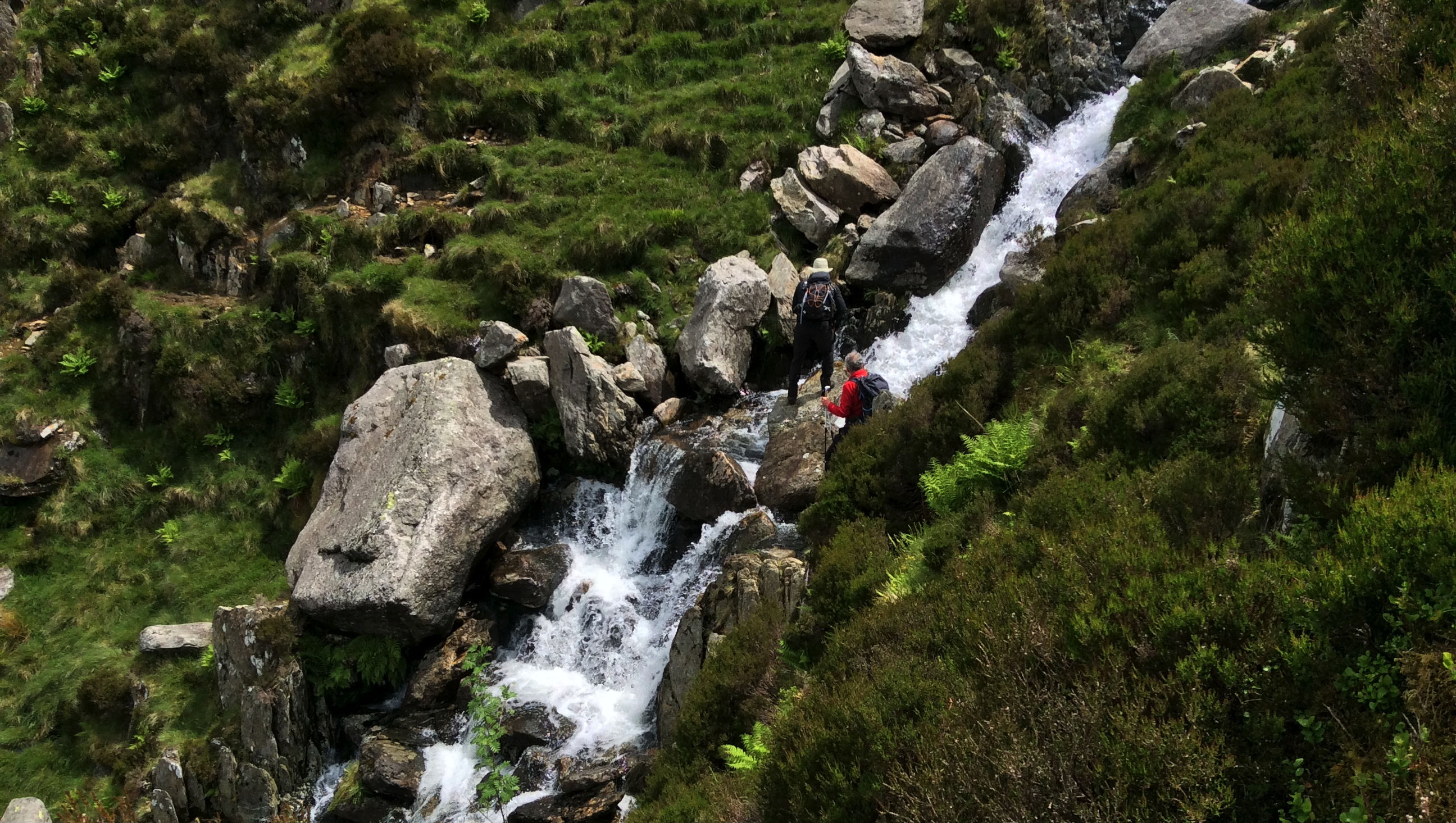
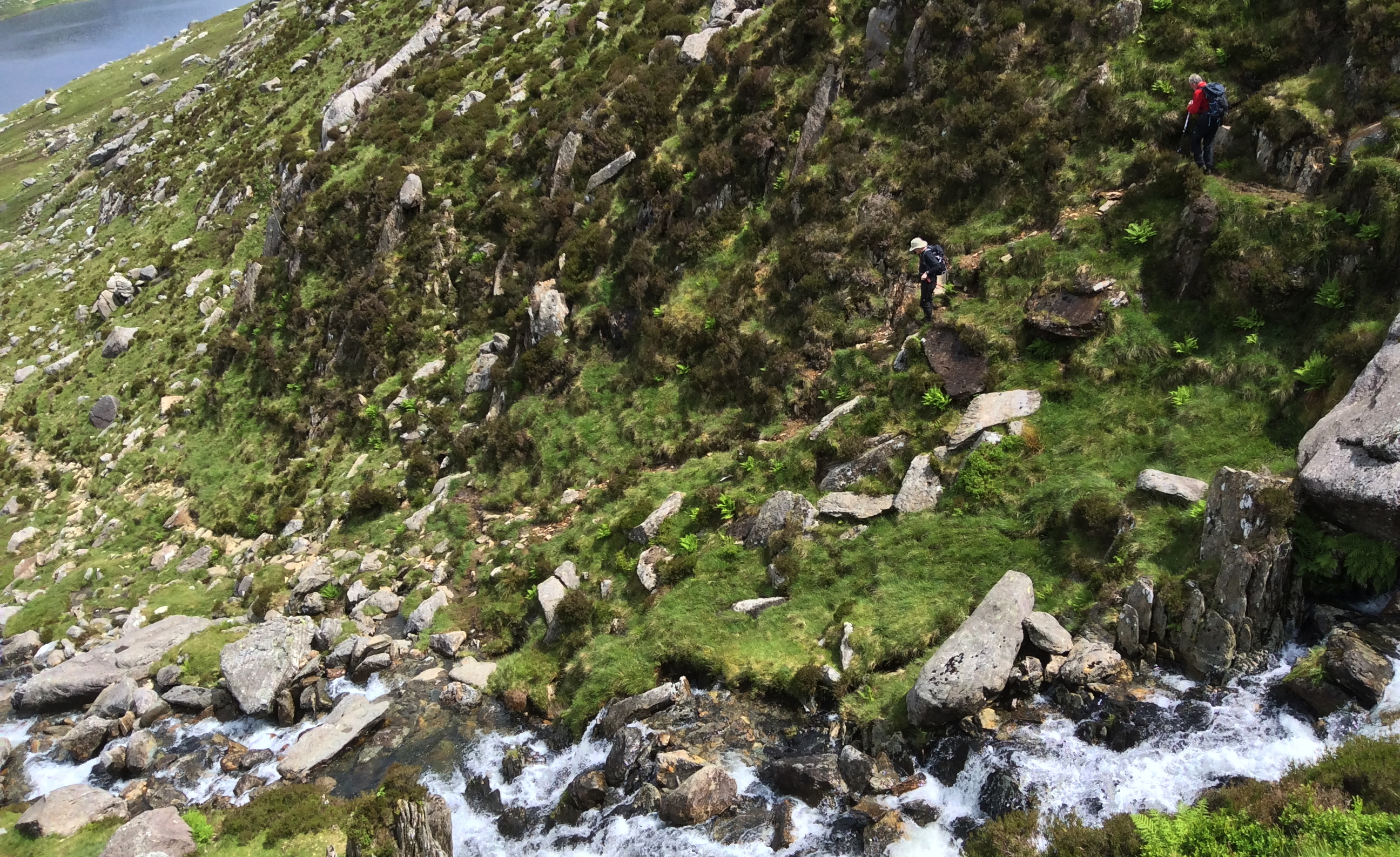
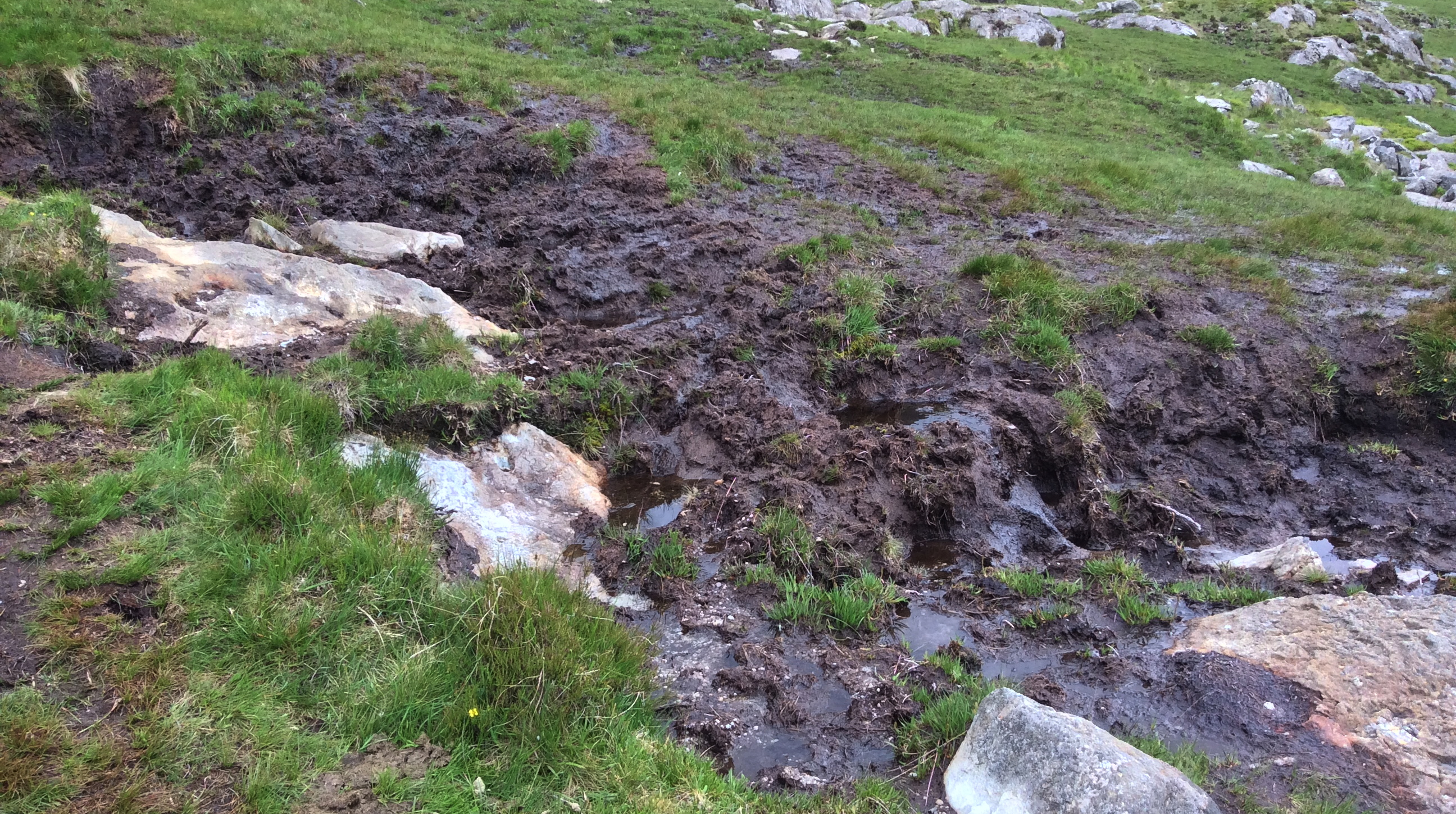
As the day before the route is well ‘paved’ for the first few 100’s of metres, with helicopters having done the heavy lifting to the point of construction, and people having done the skilled digging / positioning to give hikers a good path. However, it’s not just the paths which have been well constructed, but also small gulleys to direct water away from where we hikers want to walk.
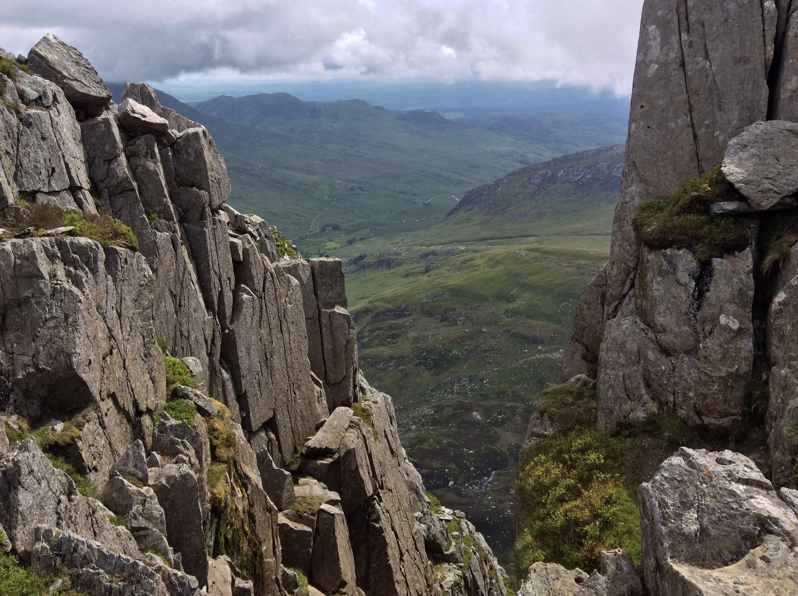
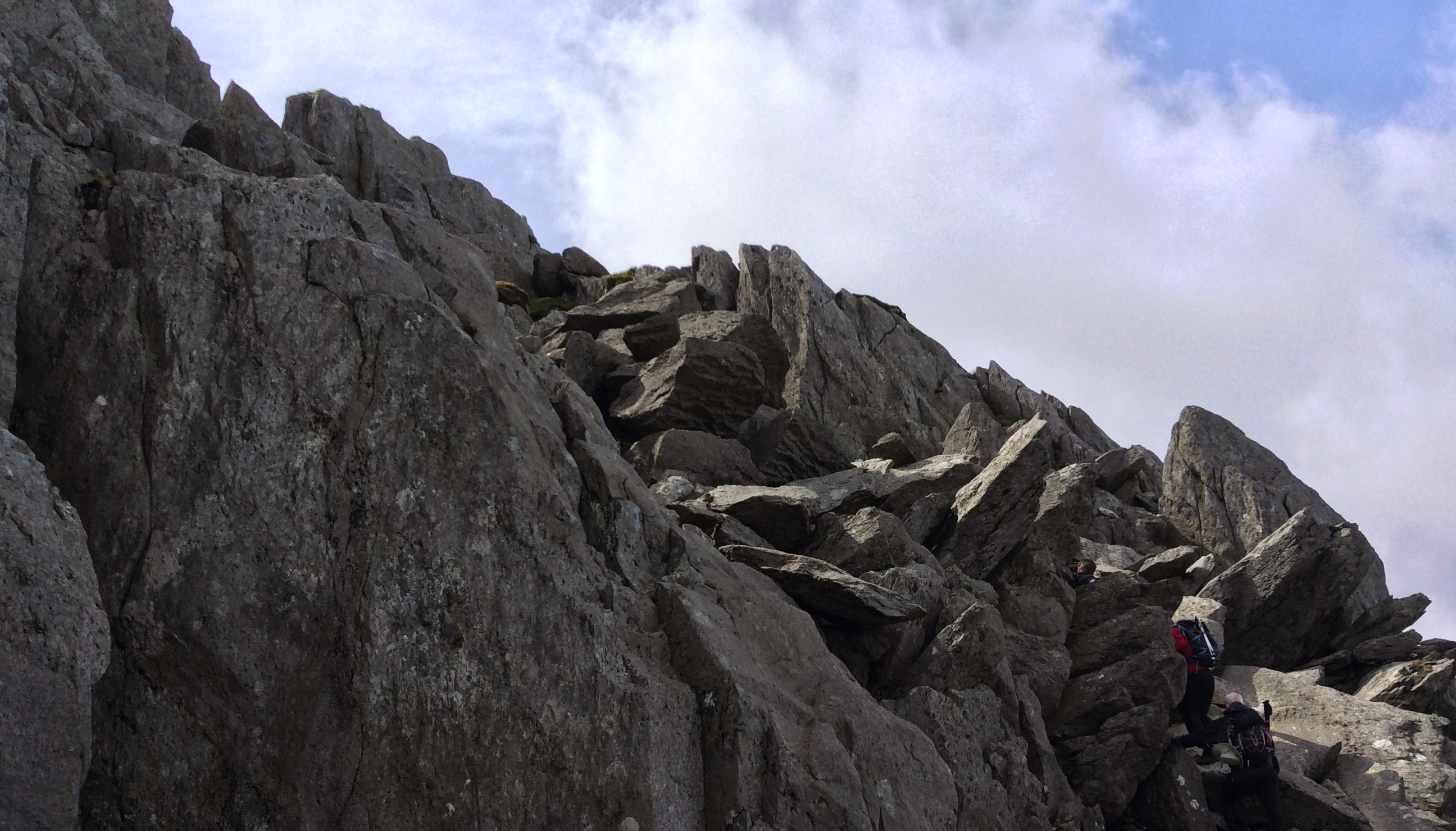
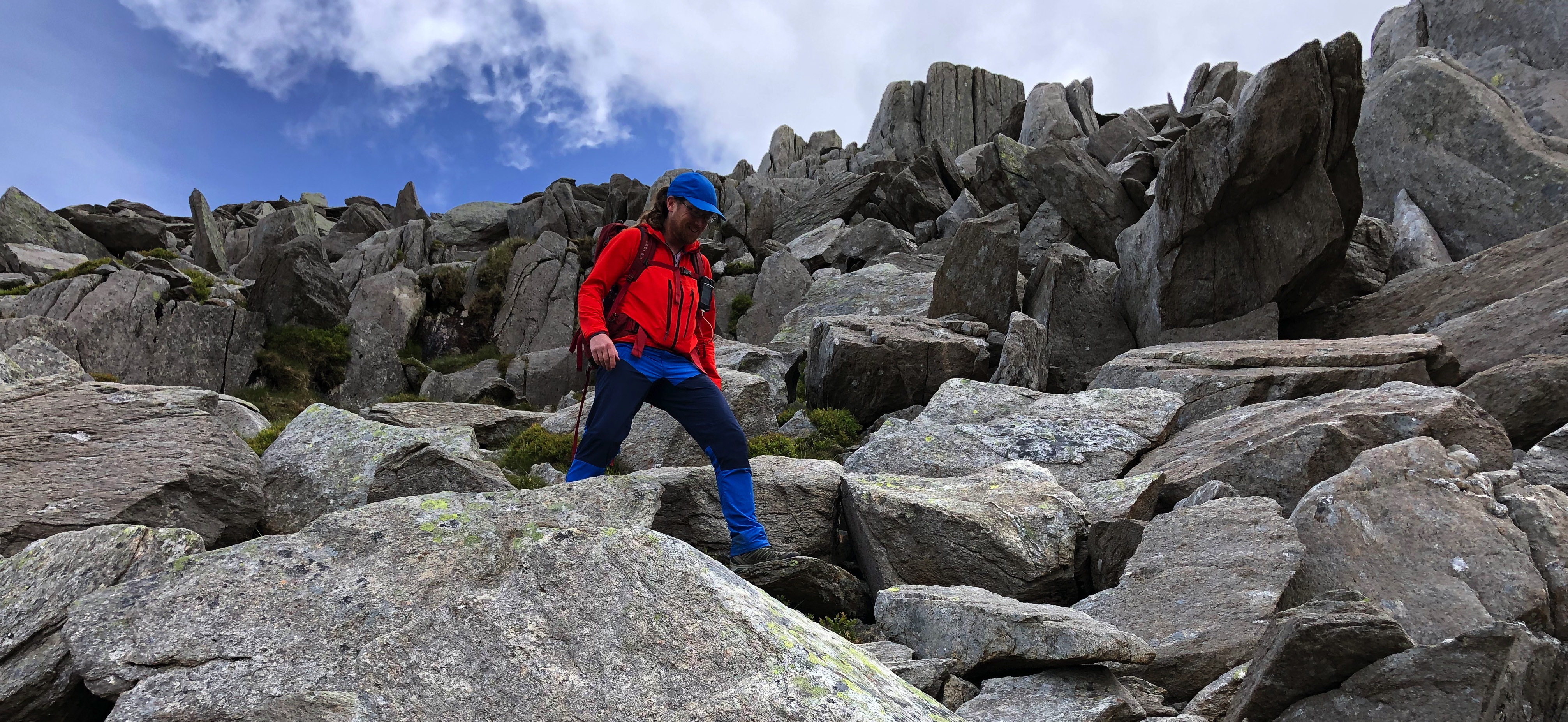
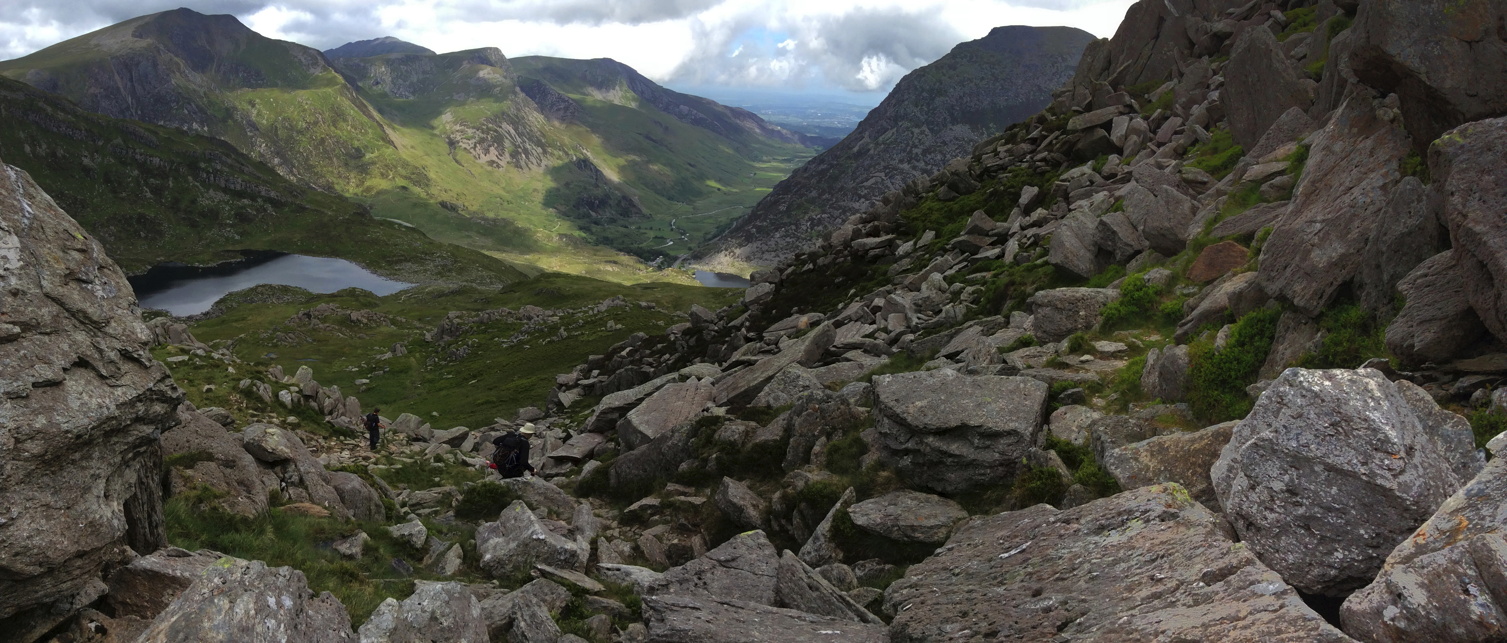
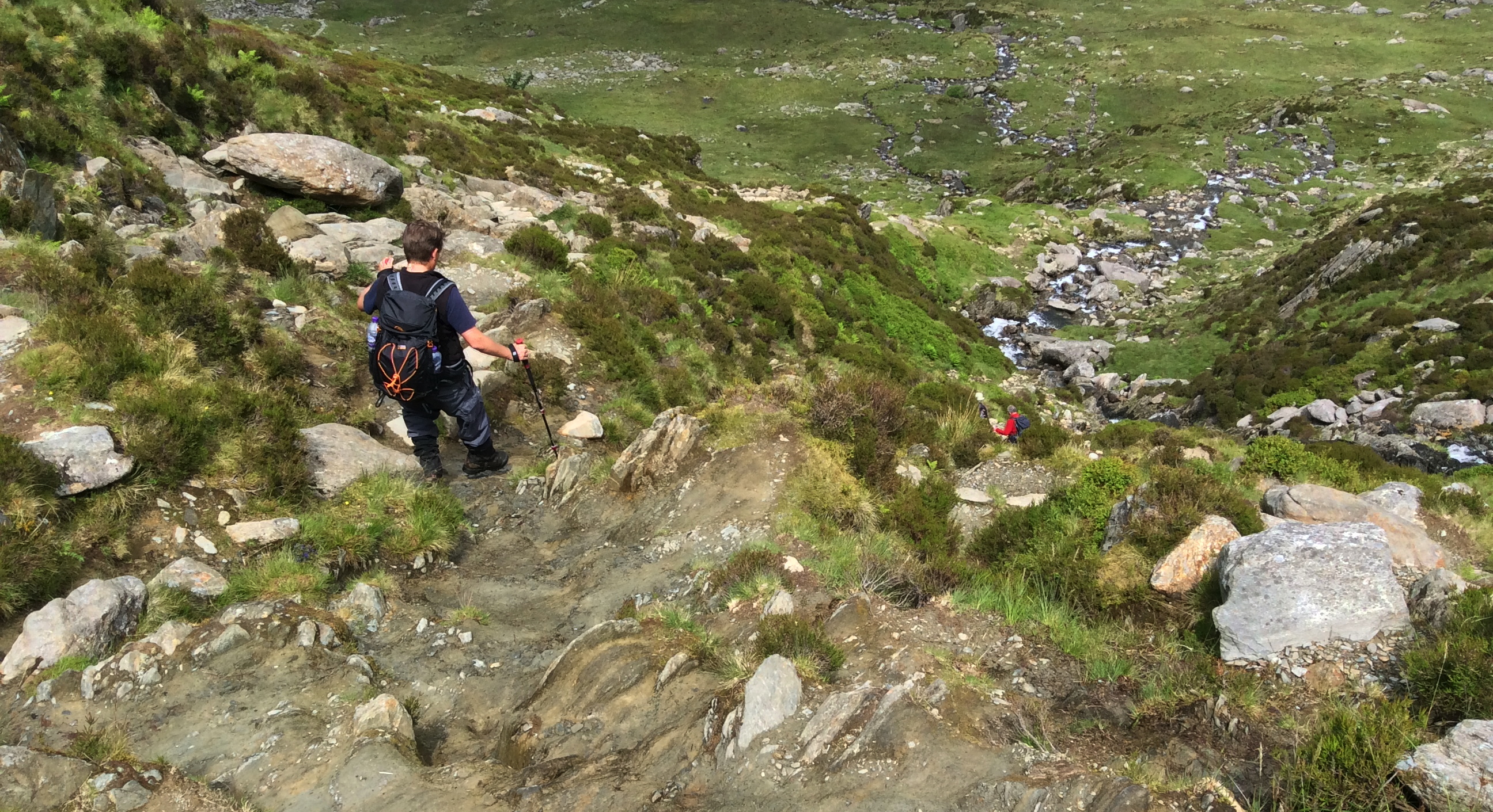
Further up, the well-constructed path gradually peters out; here, path erosion is noticeable, beginning to result in a fairly ropey path of dirt and shale.
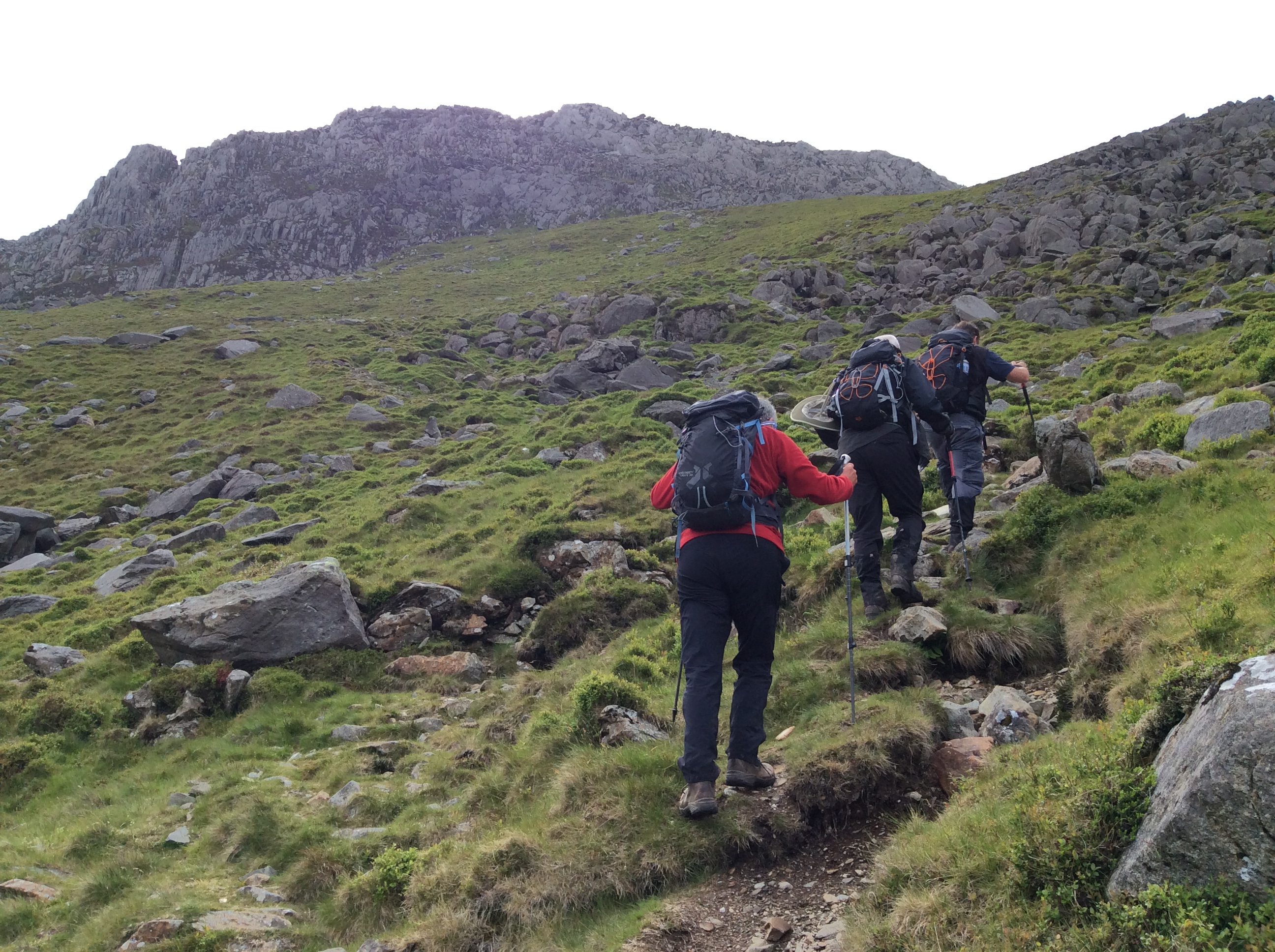
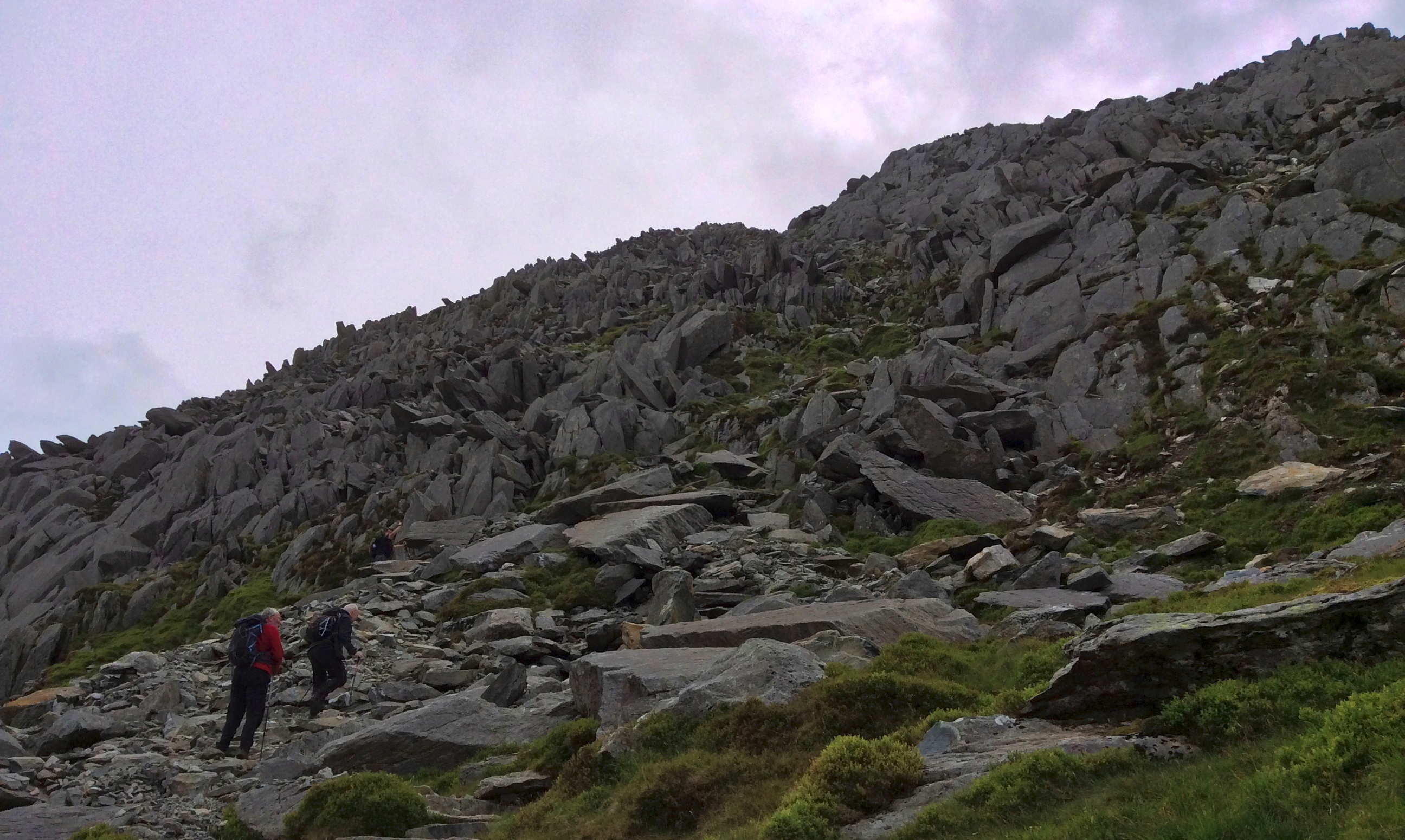
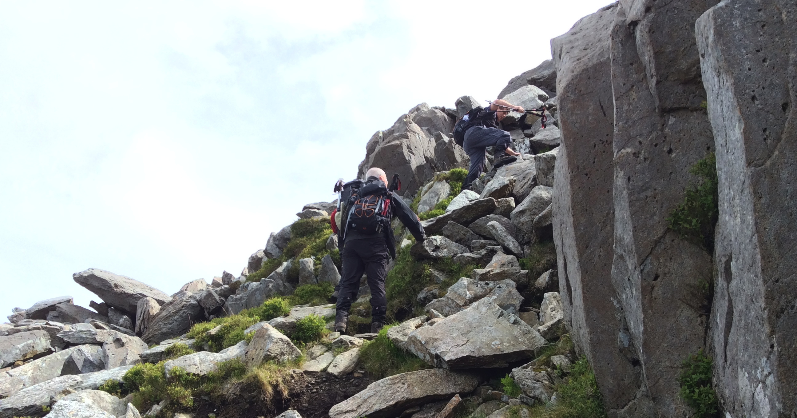
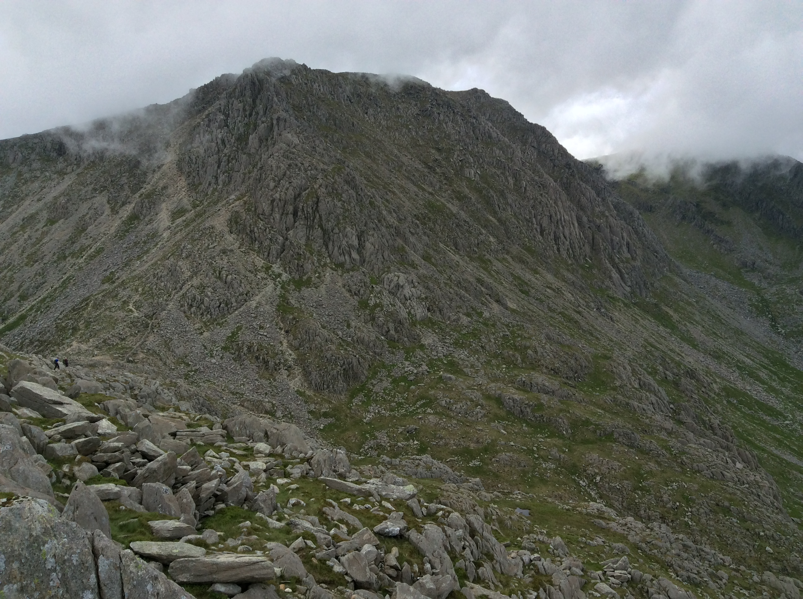
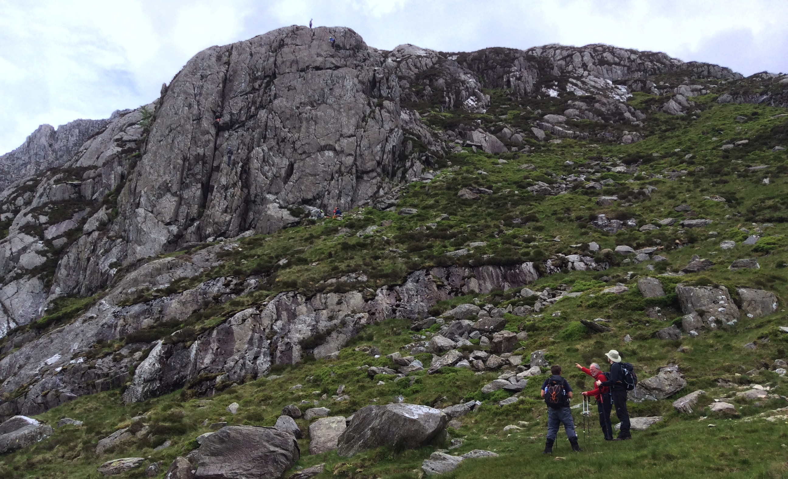
It’s at this point that the significantly more challenging Tryfan North Ridge scramble joined us, and for the first time we could feel how we were getting closer to the top (as well as long drops).
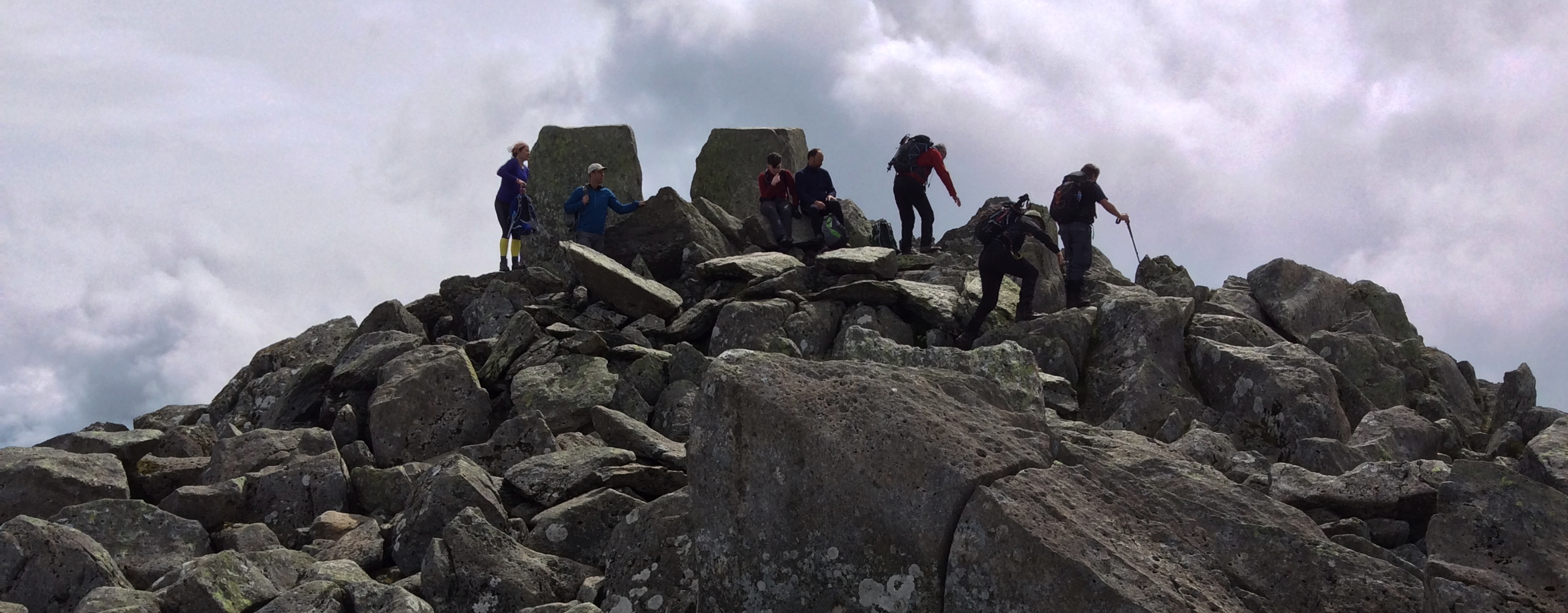
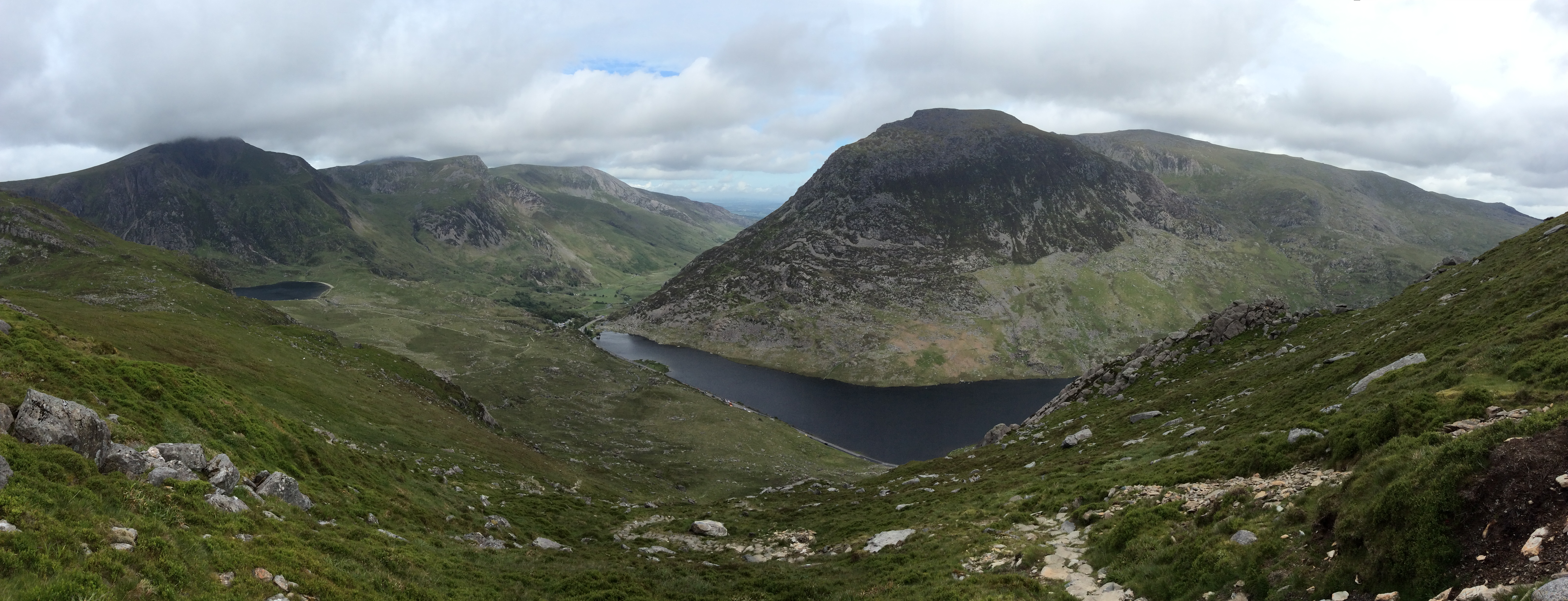
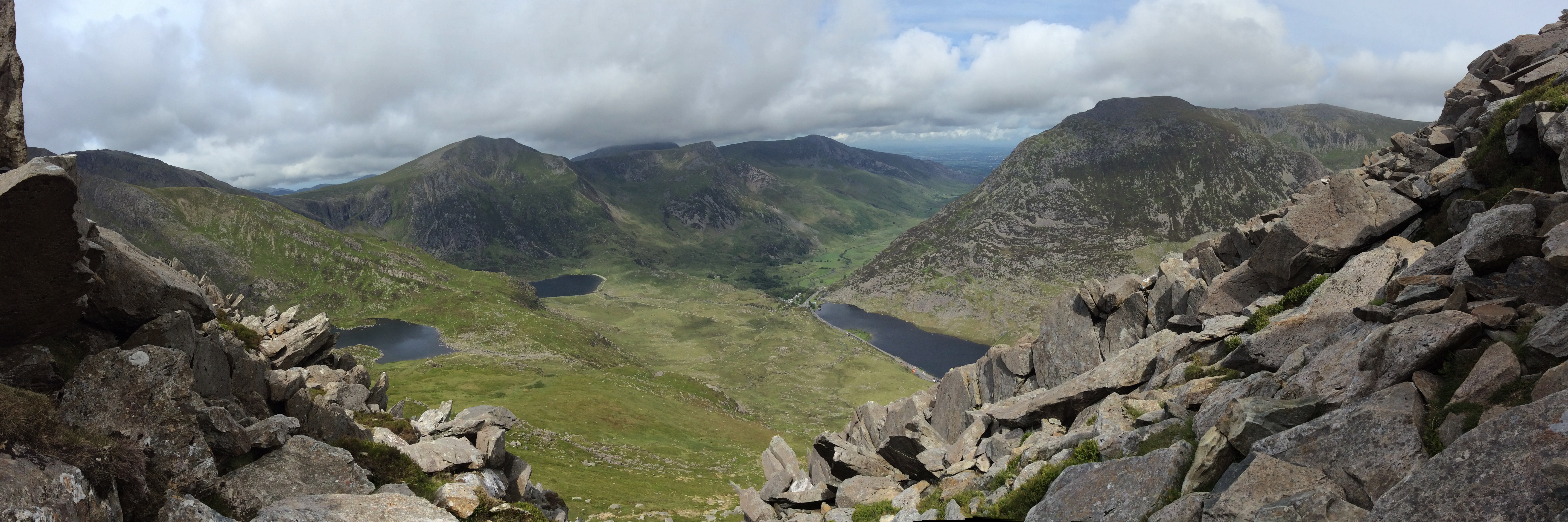
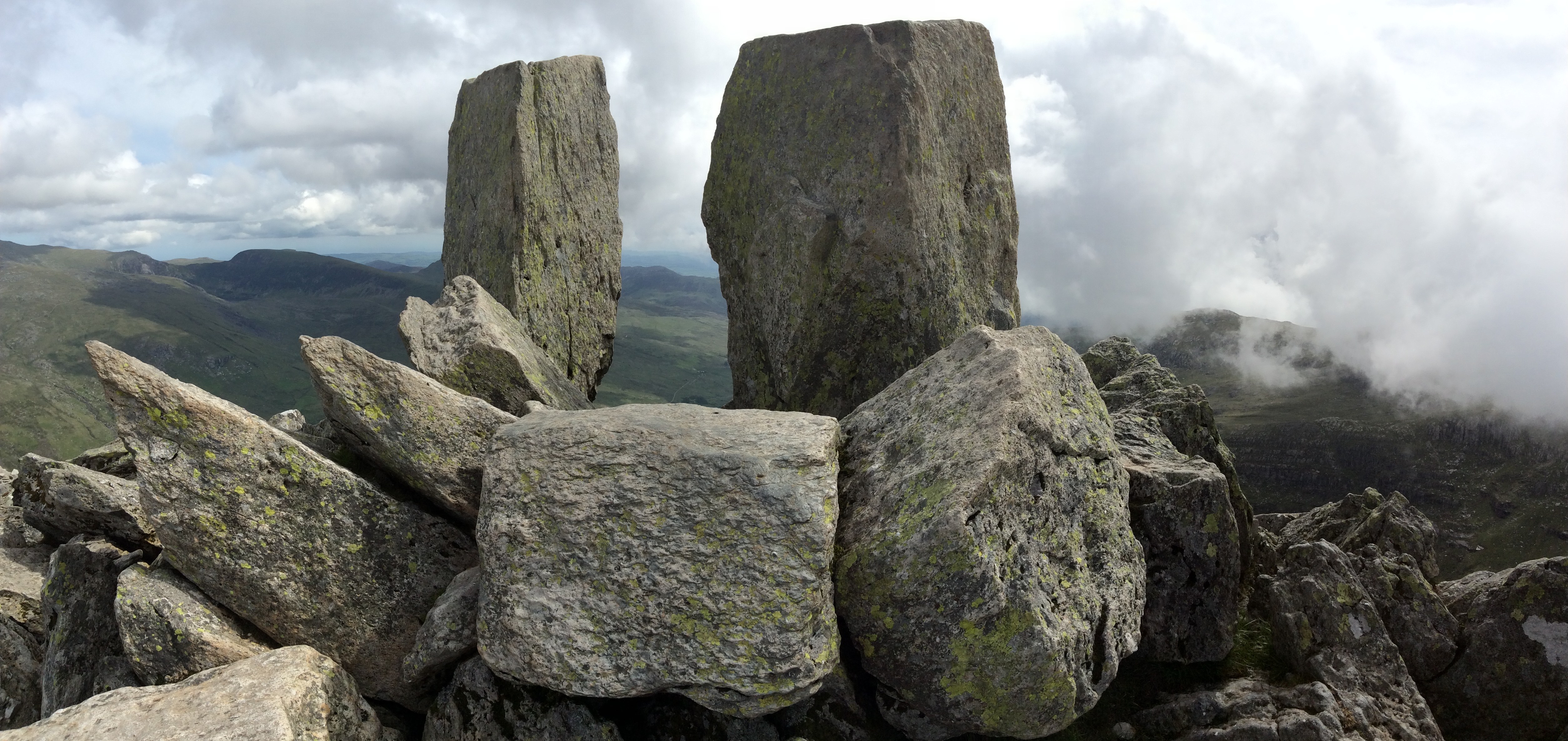
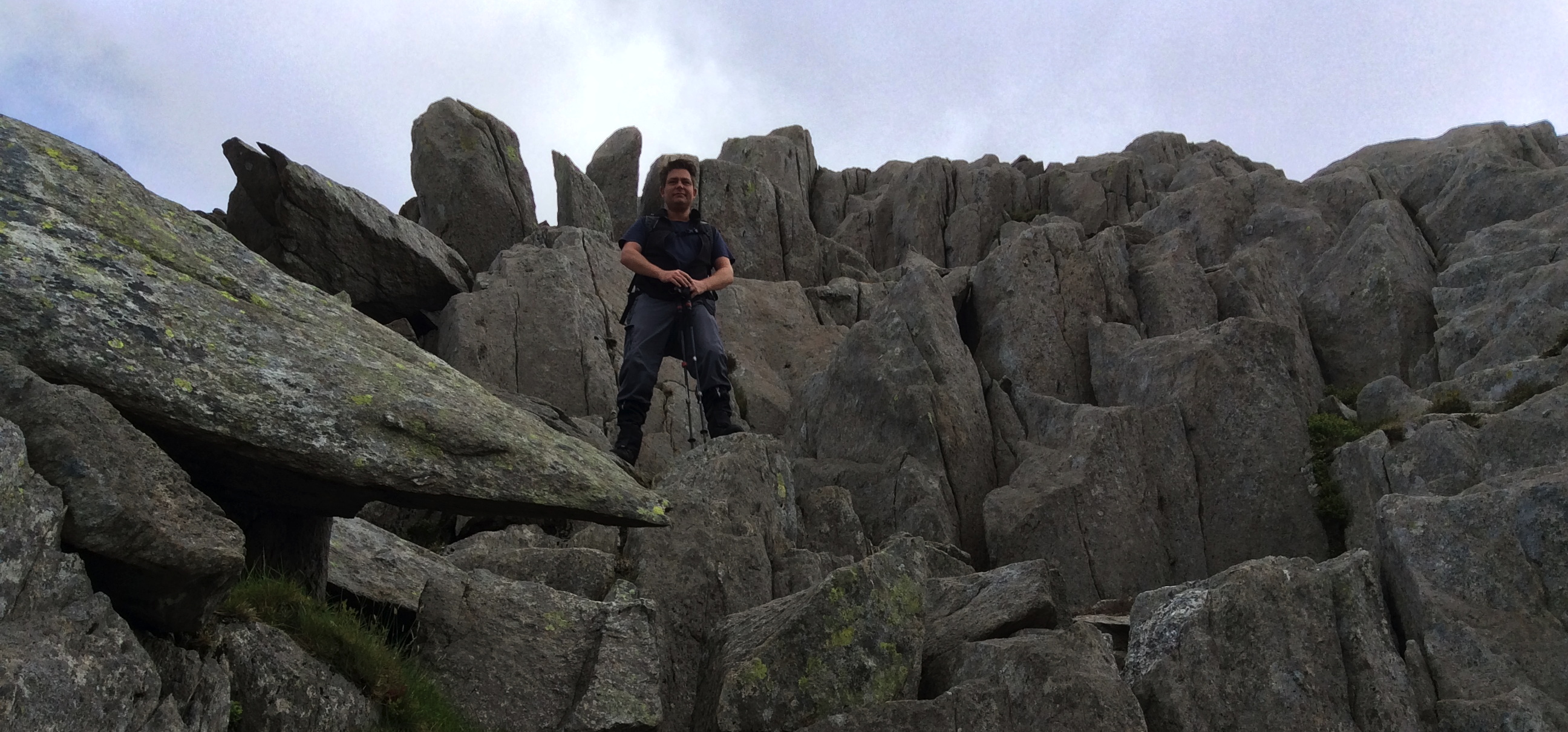
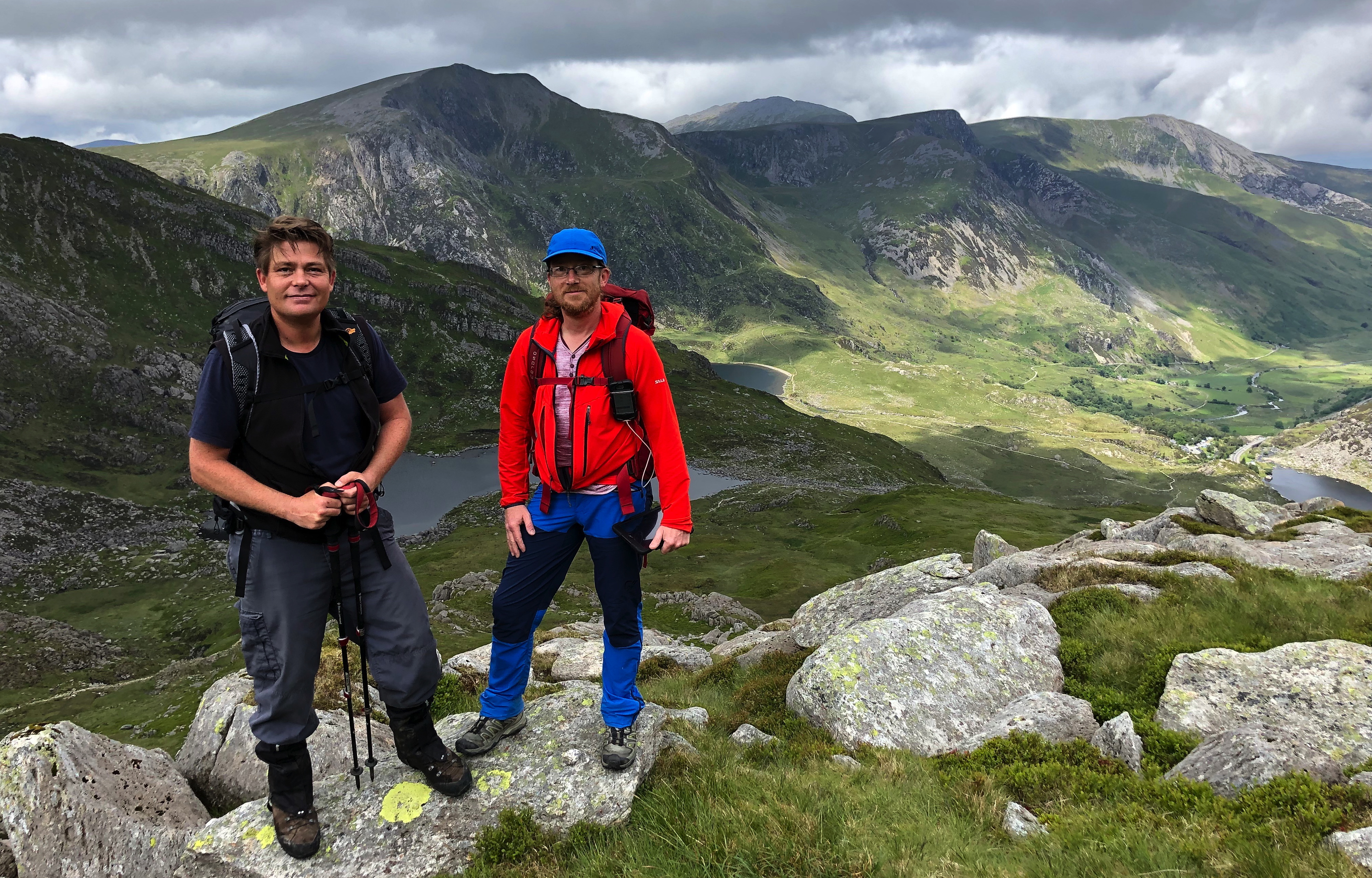
At the top, the space is fairly relaxed, with enough room for a bus load of tourists… if they can get that far :)! Whilst the views were pretty amazing, the things that captured my attention most were the ‘twin stones’, named Adam and Eve. These 2 stones don’t look like anything amazing in most still pics I’ve seen. However, coupled with a video, and perhaps a view over the edge (it’s a BIG drop), they conjure a combination of respect and stomach-churning “Oh! My! God!” thoughts when you see people climb up onto the over 2m tall stones and jump from one to the other: bad enough when there’s no wind, ‘Brave Dave’ lets his girlfriend demonstrate (4:35) what it’s like with wind!
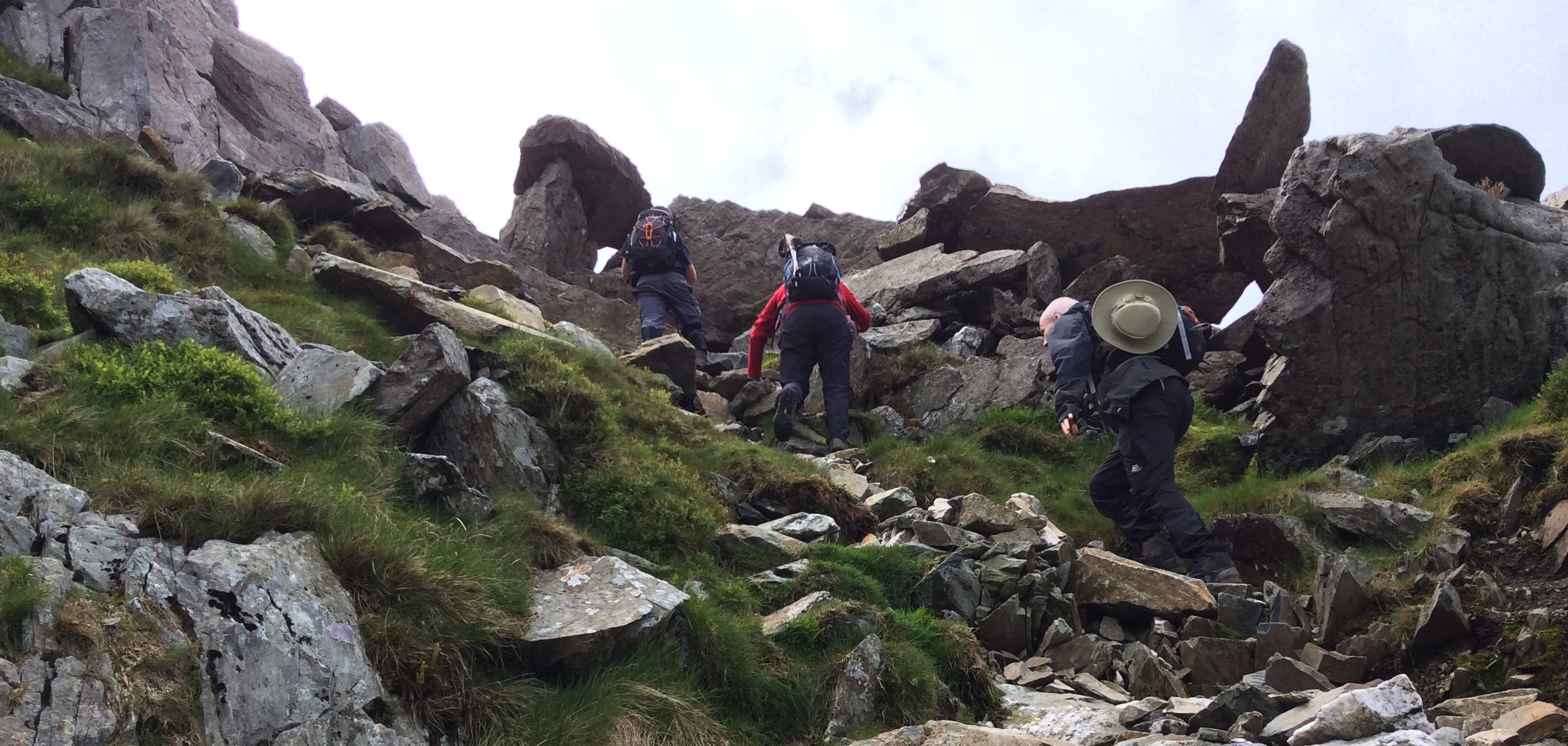
After a break up top taking pics, both for us as well as for others, we started to make our way down on a slightly more relaxed route; a couple of points right at the beginning of the descent were the only slightly-funny-tummy times for me, then it was time to do a ‘mountain goat’ impression :)!
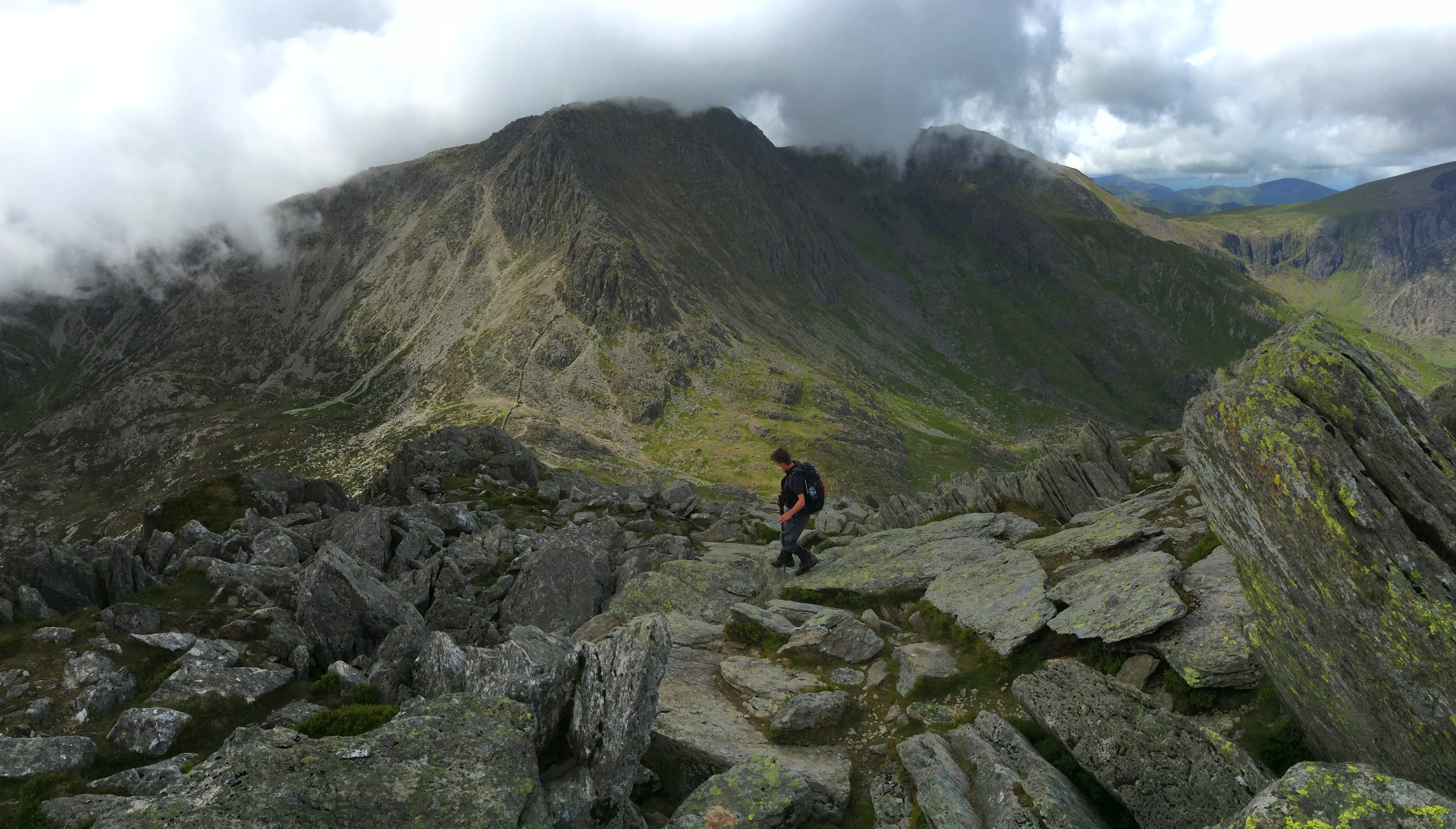
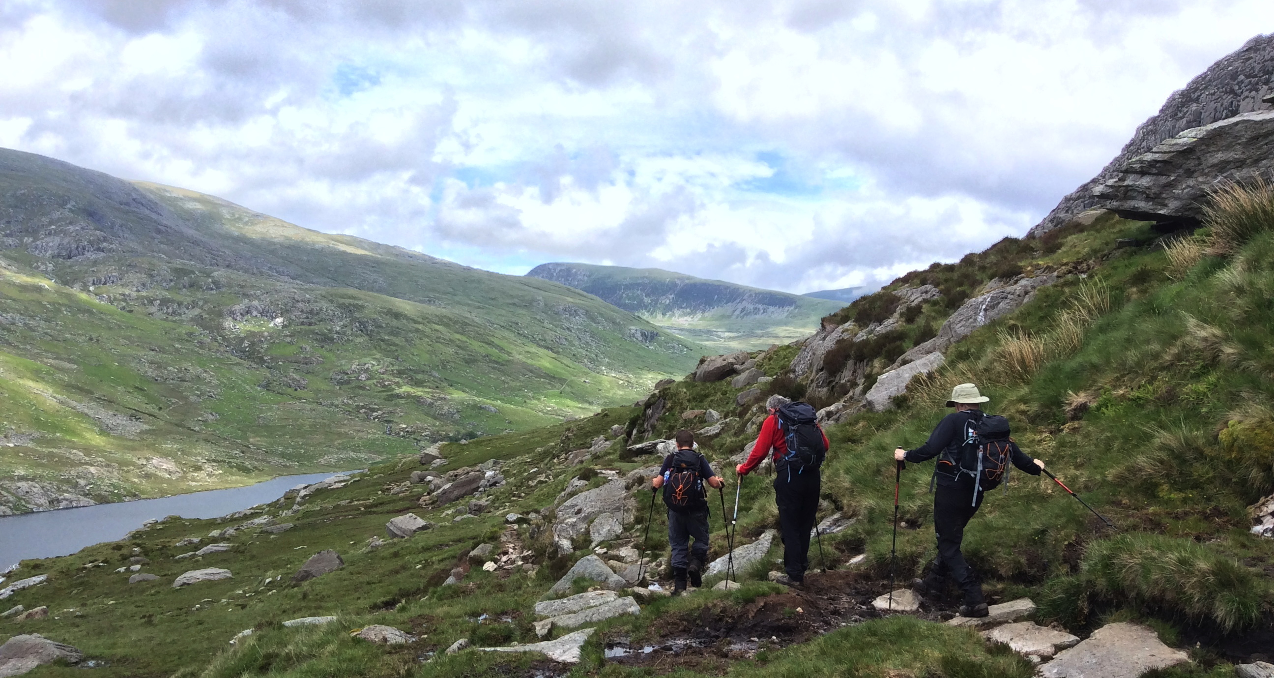
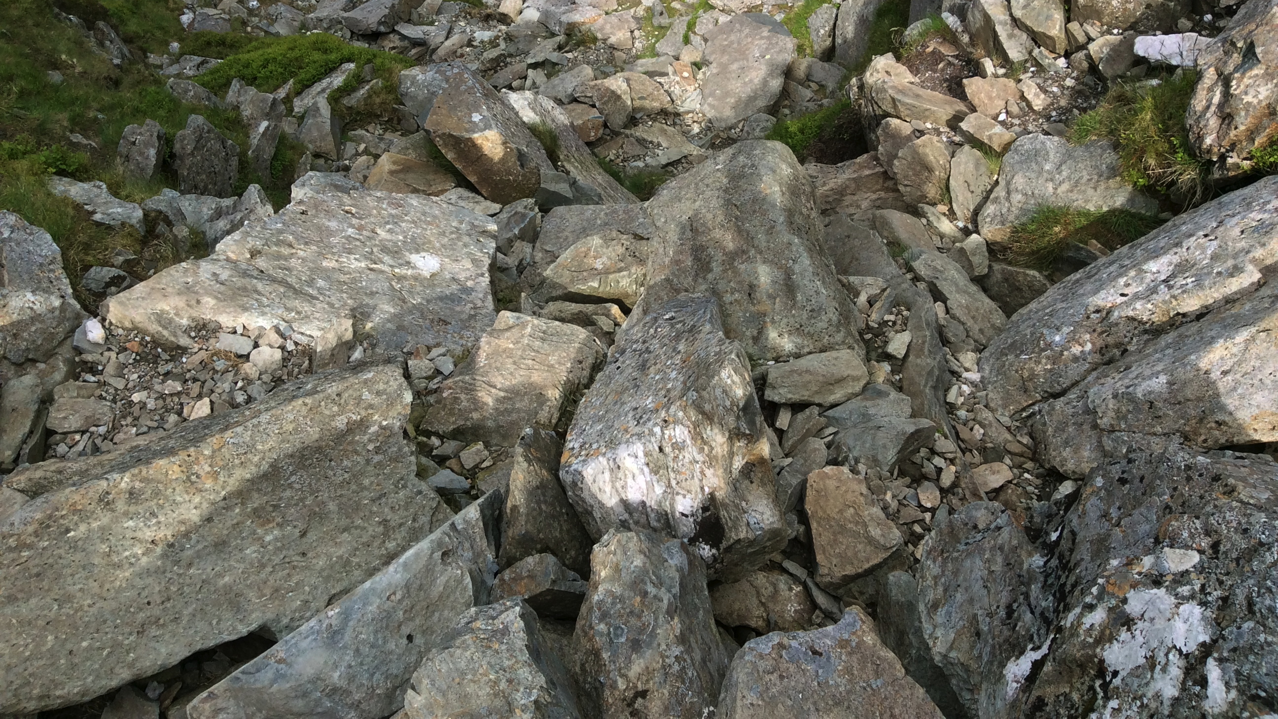
All in all, we had a great time: I had the most fun climbing / jumping down the boulders on the way back… no danger of falling to your death, you just had to be careful not to twist an ankle or knee, or slip between boulders and do some slightly more serious harm, so it was a bit more relaxed!
This time, we more or less followed paths that are shown on a topographical map:
Sport app: https://runmeter.com/fe2048745d9bd251/Walk-20190618-0920-11826

Leave a comment