The original plan was to do “The Welsh 3000ers” (15 peaks, 45km, 4000 metres of ascent) in one day. Then we decided to take 2 days. Then we did… 3 of those peaks in 15 days :)… aim high und what-not. Although this ‘failure’ to achieve the original target caused some initial disappointment for Jesse and Martin, at the end of the day, we had 2 days of great hiking/scrambling (plus some not-so-great swampy bogs – not my favourite!), had fun, drank and ate well (the full welsh breakfast is a must, along with the Clogwyn Gold ale… not necessarily both first thing in the morning!), and last but not least, enjoyed some great company and conversations. So, result!!
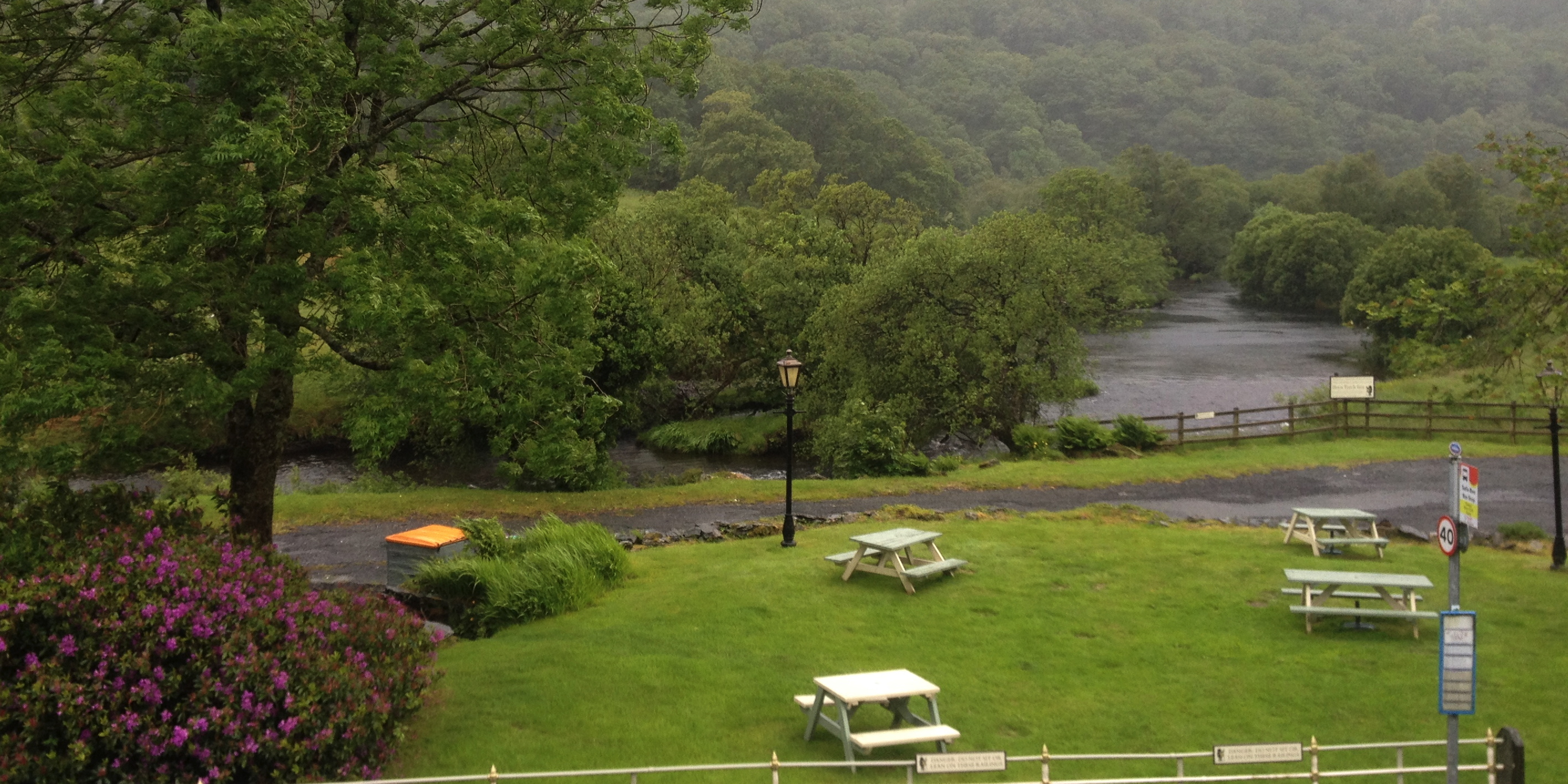
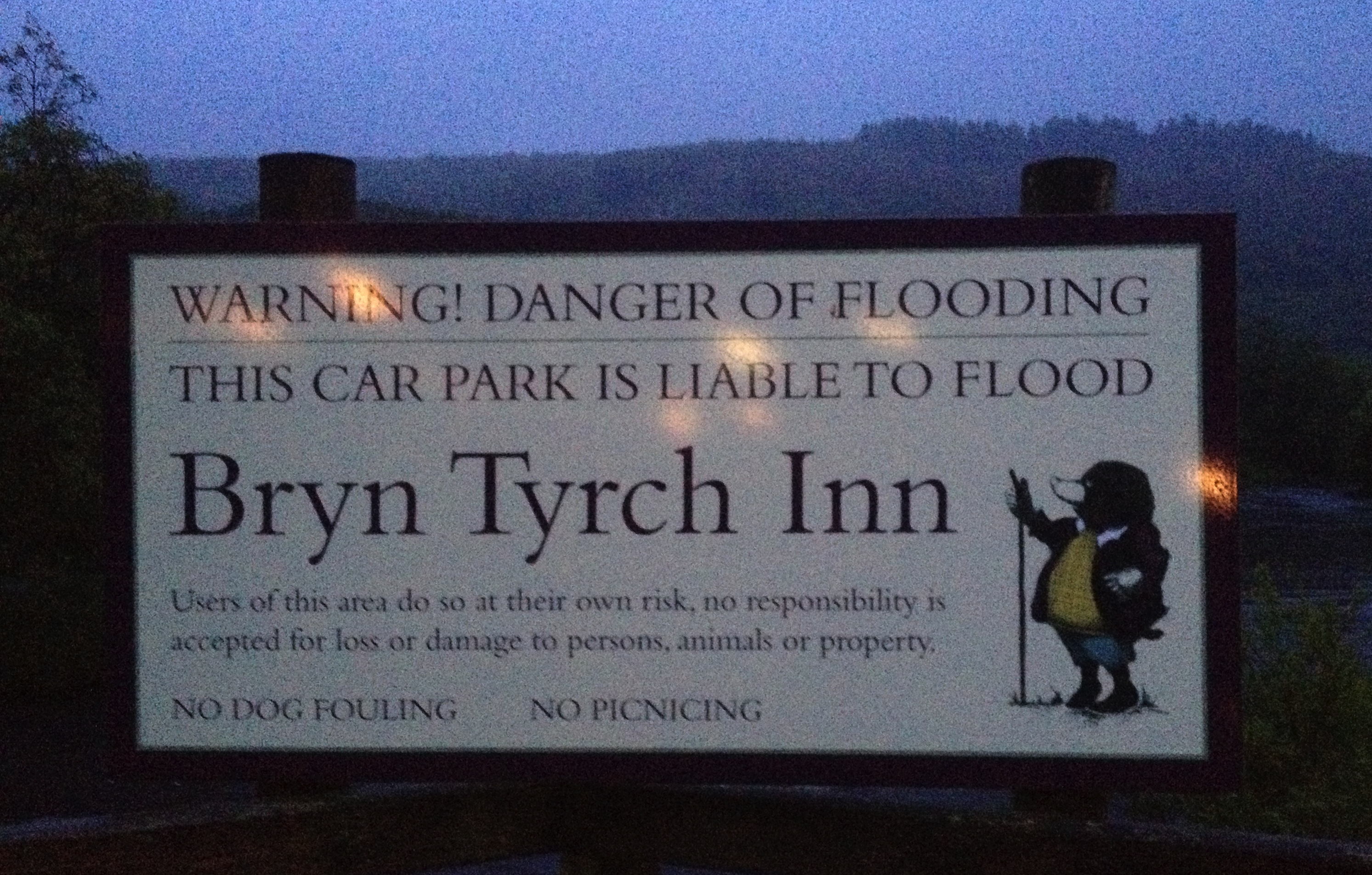
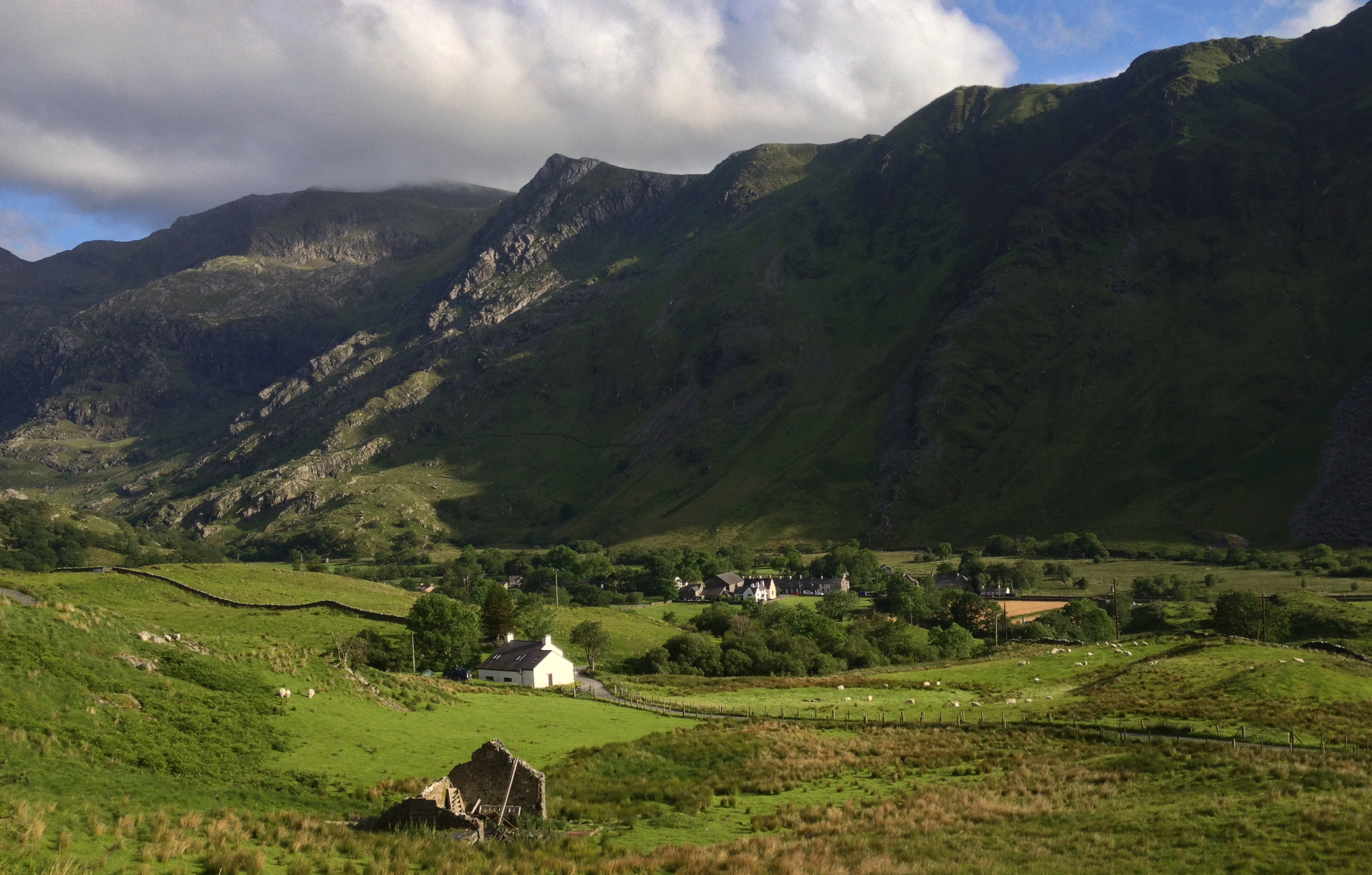
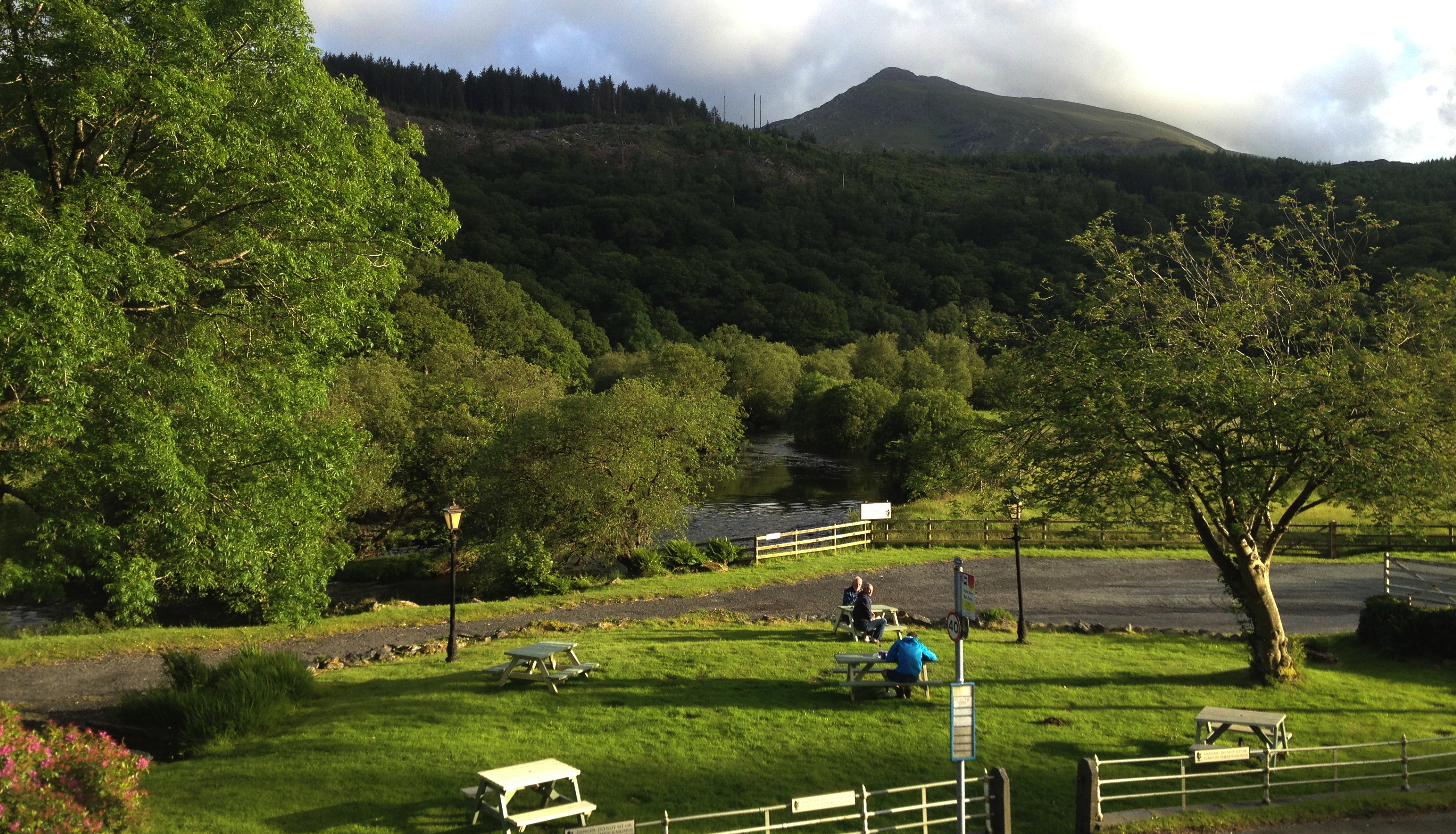
It started with a night from Sunday to Monday at the very well run Bryn Tyrch Inn. It wasn’t quite the typical “dark and stormy night” a story might start with, but it sure was pissing it down, with strong winds; the lower car park was cleared, due to worries of flooding.
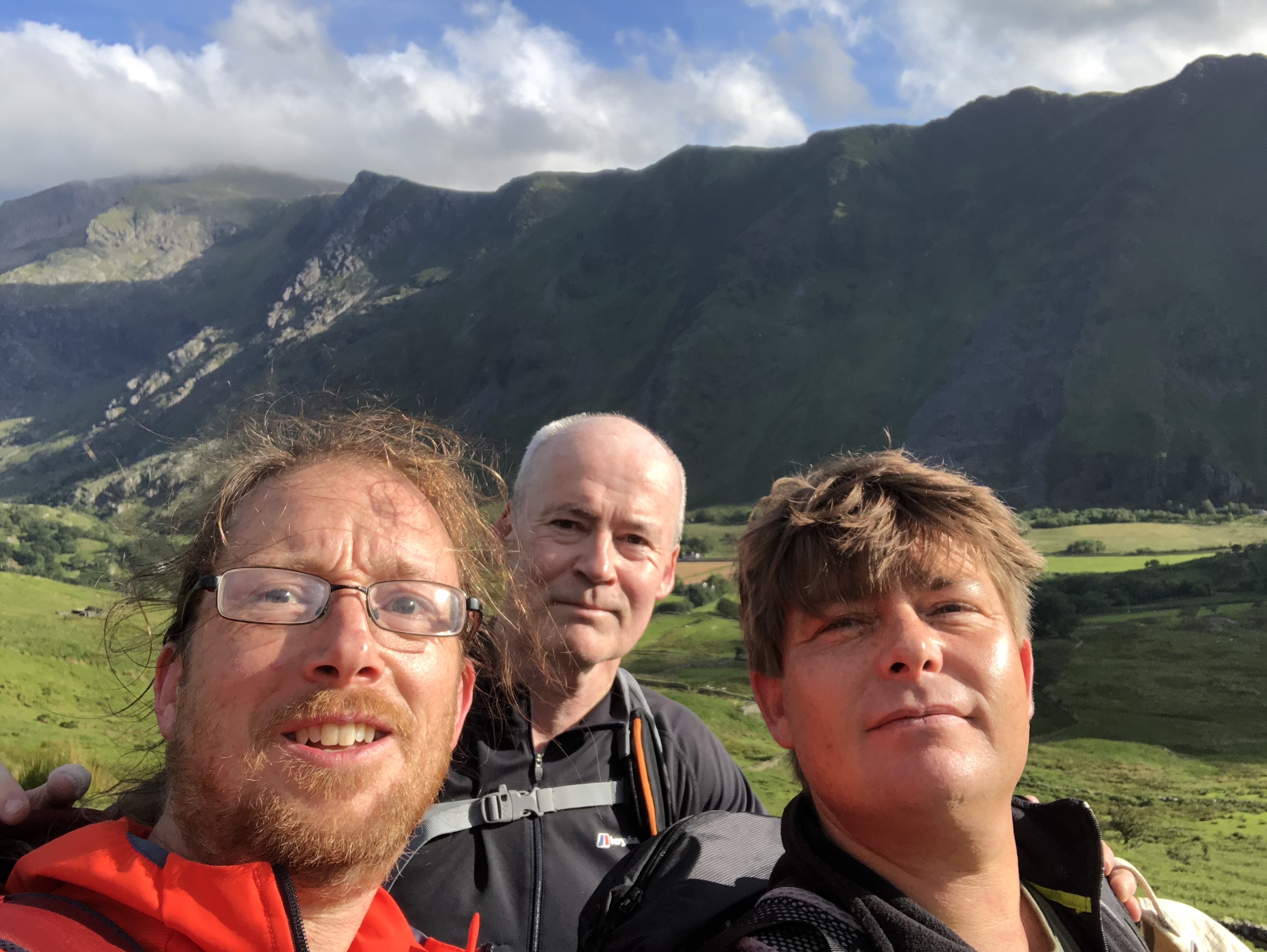
The walk for us three started at the Pen-y-Pass car park at 360 metres above sea level. Peter and Jim kindly chauffered us to this start point before continuing to the beginning of their day’s walk; the three of us headed ‘up into the hills’; the weather had dried up, with just the odd dark cloud.
To start with, the Pyg Track is pretty harmless, with well constructed/maintained paths; the ascent is gentle, where a tumble will certainly not end in death, just dirty trousers and damaged pride.
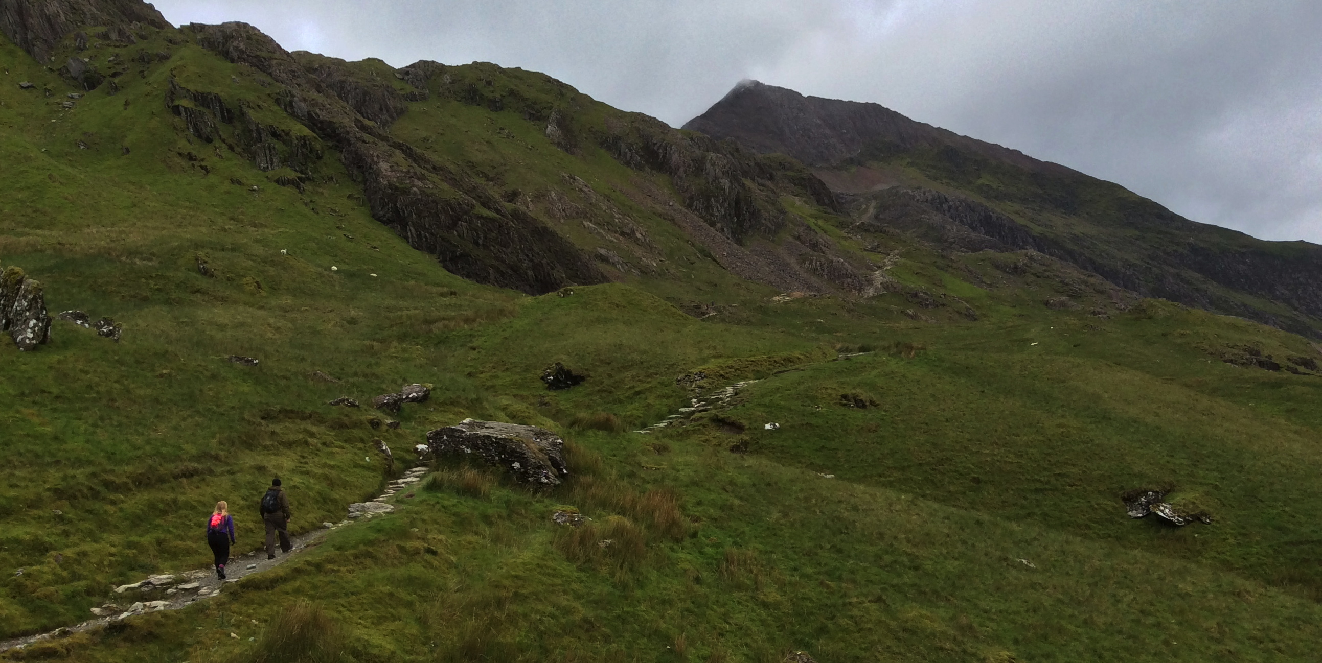
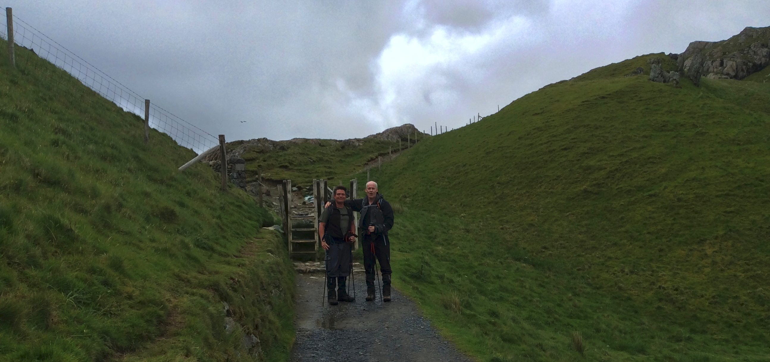
It doesn’t take long, however, before the easy stretch is done, with one of the characteristically robust stiles more or less serving as a border.
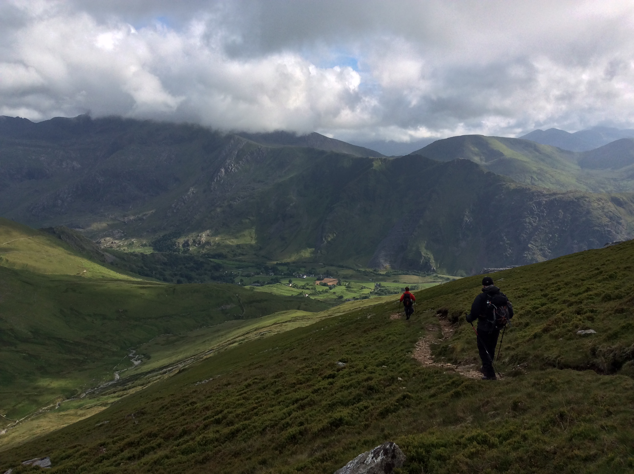
The weather was still holding, although the cloud cover was pretty low; whilst there was no blue sky and certainly no sun, we were still treated to some amazing views.
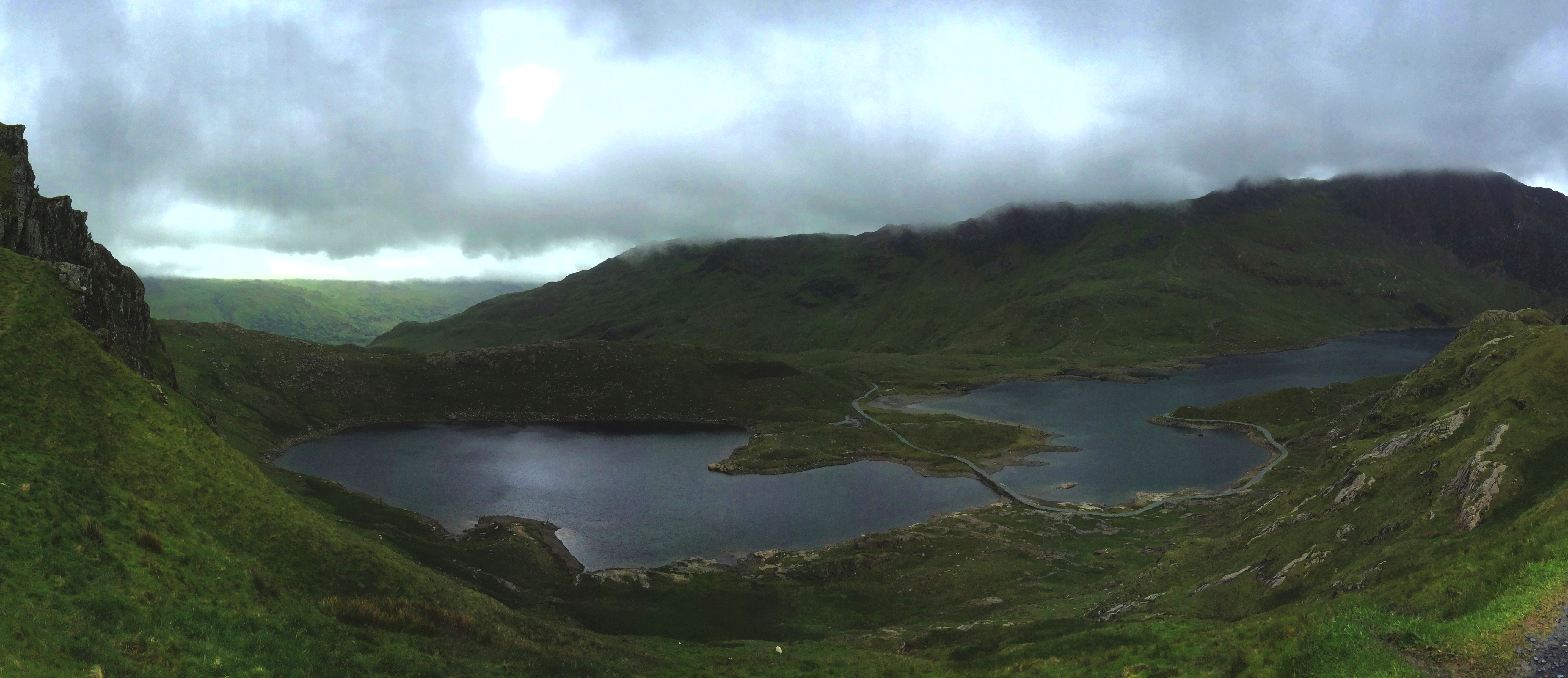
From one vantage point we could look down on Glaslyn, as well as the end of the Miners’ Track – this is an alternative route to the summit of Snowdon, one which starts off easier than the Pyg Track but which finishes with a steep stretch as it meets the Pyg Track at over the 4km mark (our route).
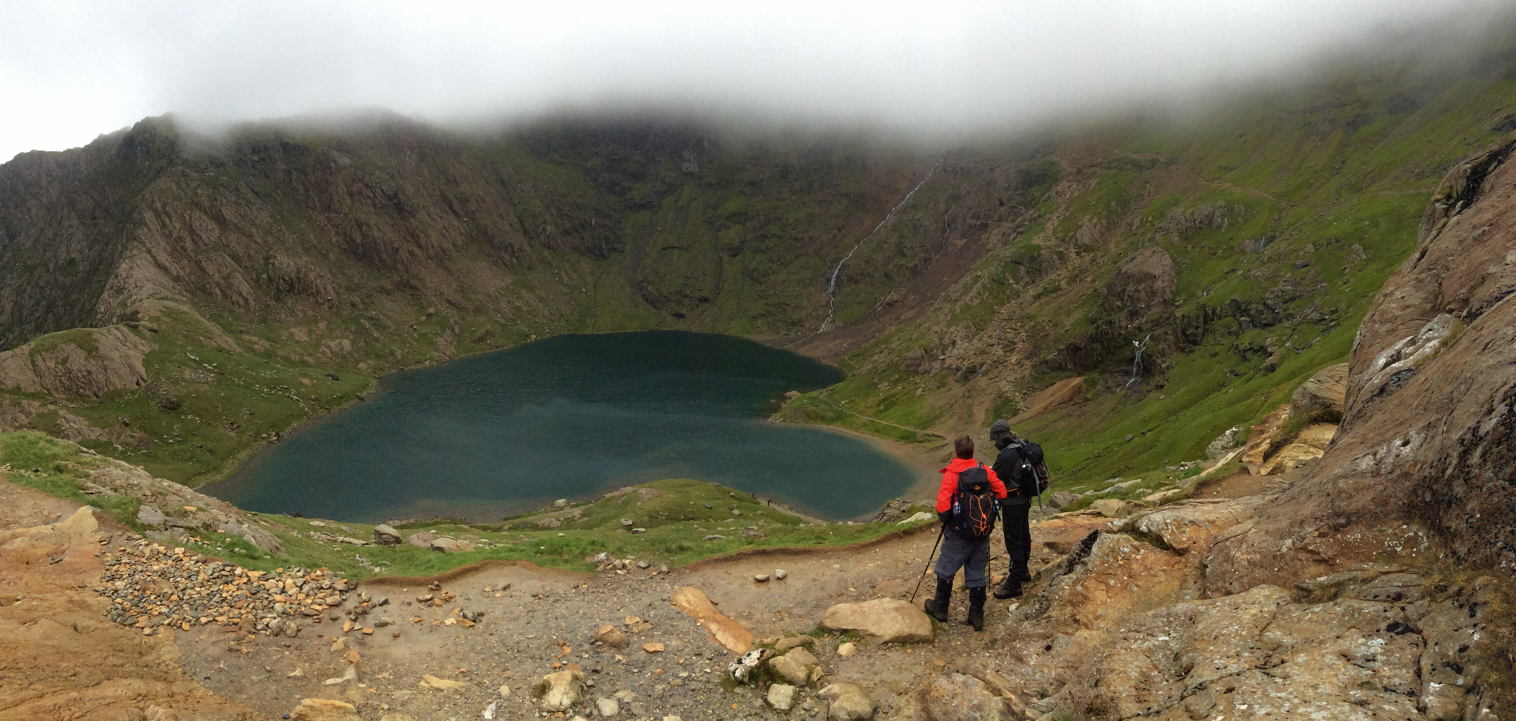
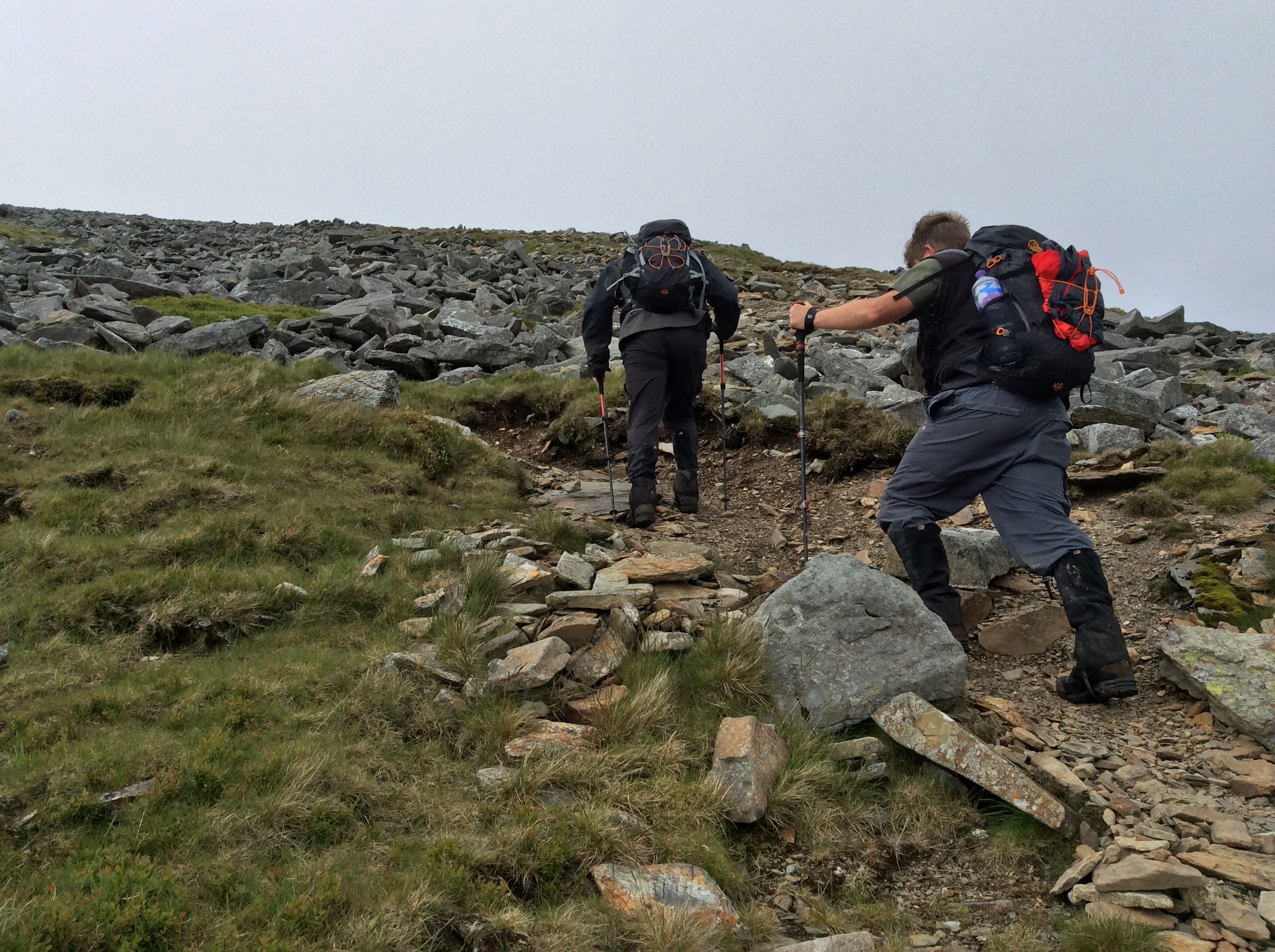
It wasn’t much longer before we were in the clouds, with some drops of rain; we pulled on our rain jackets, helpful against the ever-colder, ever-stronger wind, making our way up an ever more challenging path – not that it was bad in general … quite to the contrary: we marvelled at how the massive stones used to build the seemingly very robust paths had been manipulated into place after countless helicopter flights had brought them up in large sacks. Nevertheless, there was one stretch where the path had been washed away and we had no other choice than to scramble a short stretch – not seriously dangerous, but not for the faint-hearted!
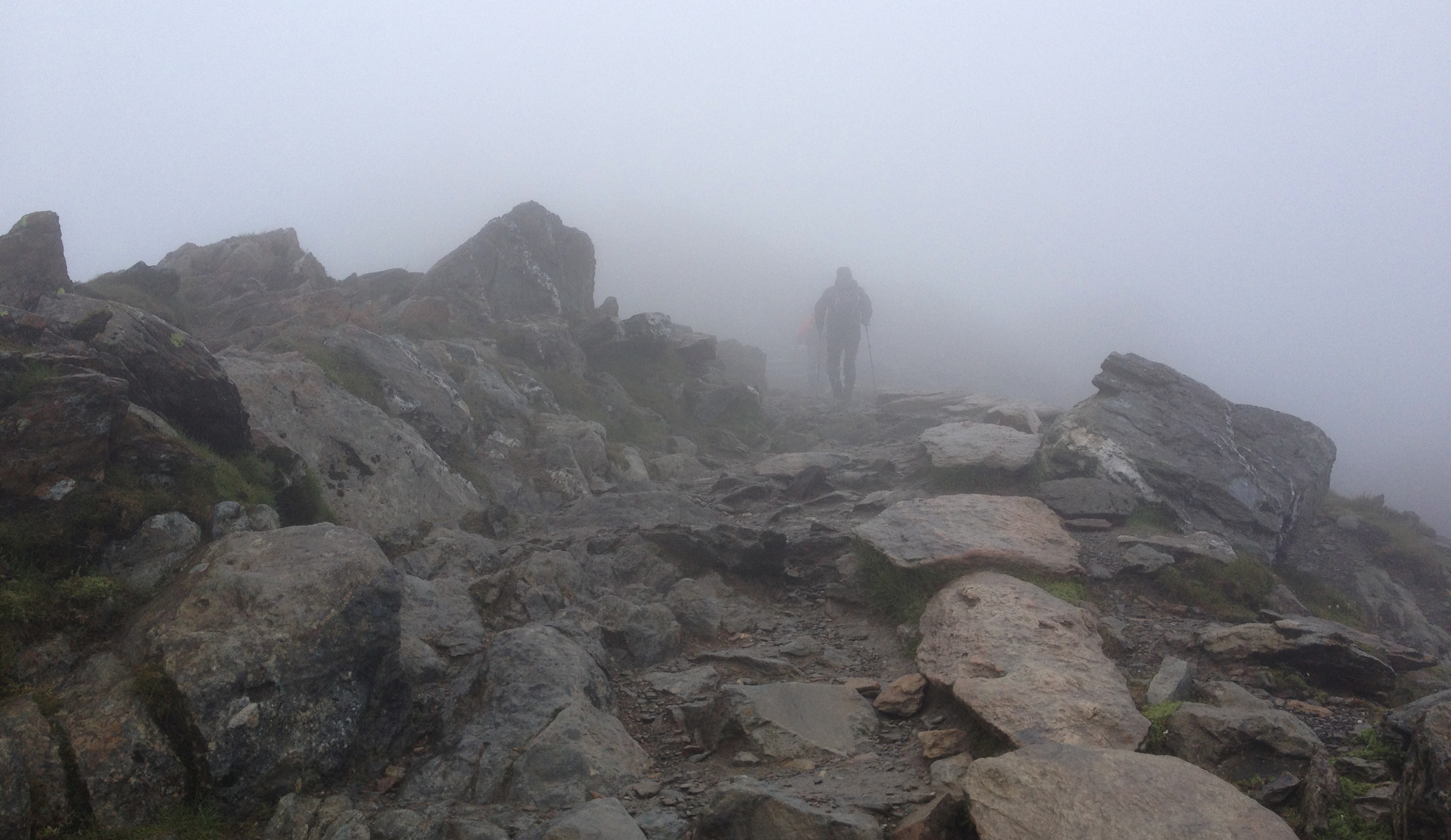
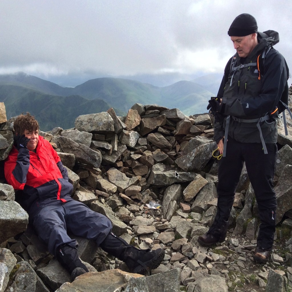
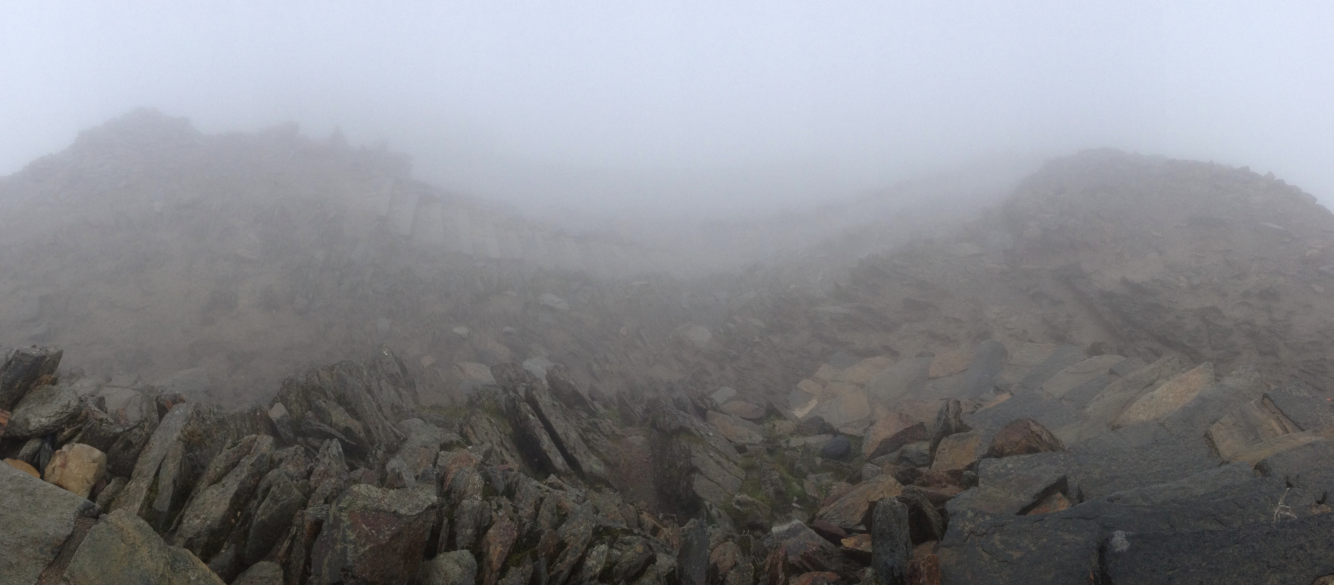
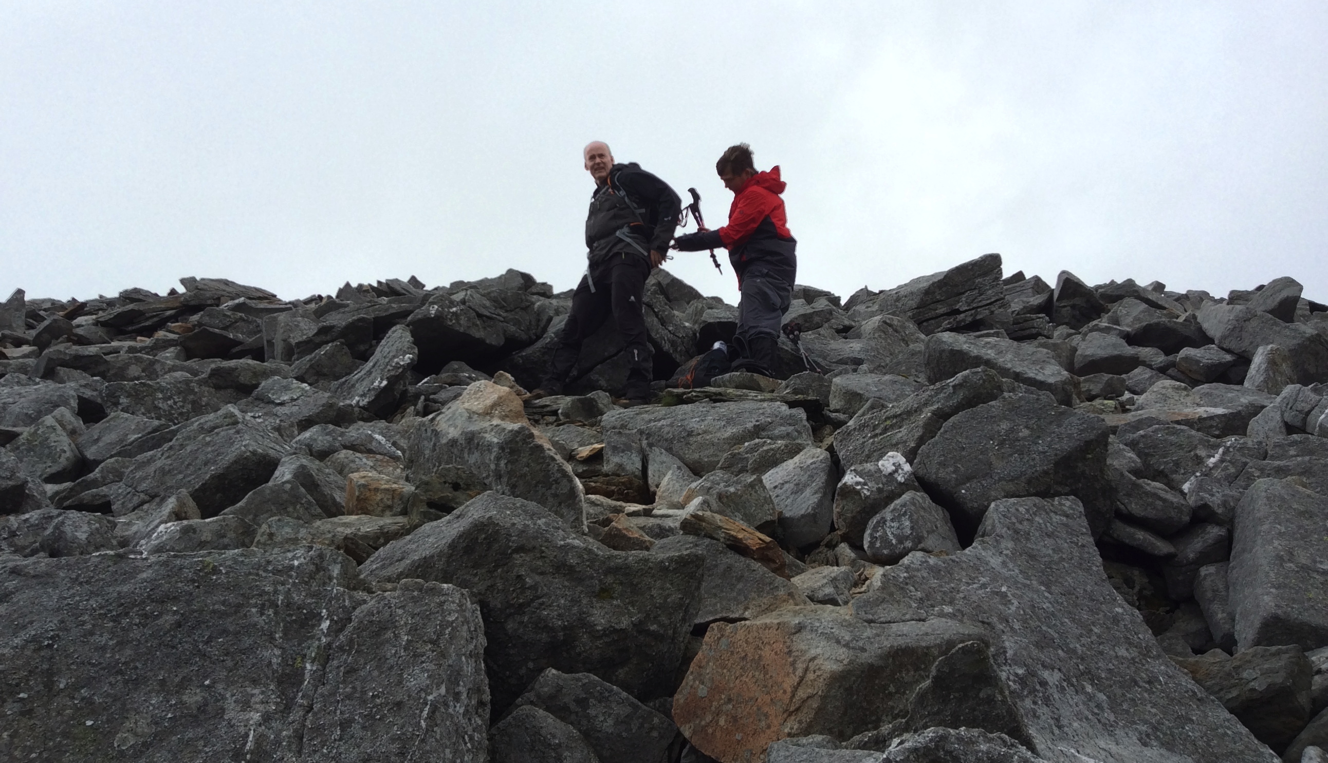
The fog of the clouds did, however, mean there were no amazing views from the summit. On top of that, the wind gusting at an estimated 50-60km/h, coupled with only slightly above zero degree temperatures, meant that it was pretty unfriendly at the top; the bit below you that you could still see from the peak looked like something out of Lord Of The Rings, a descent into an abyss of doom.
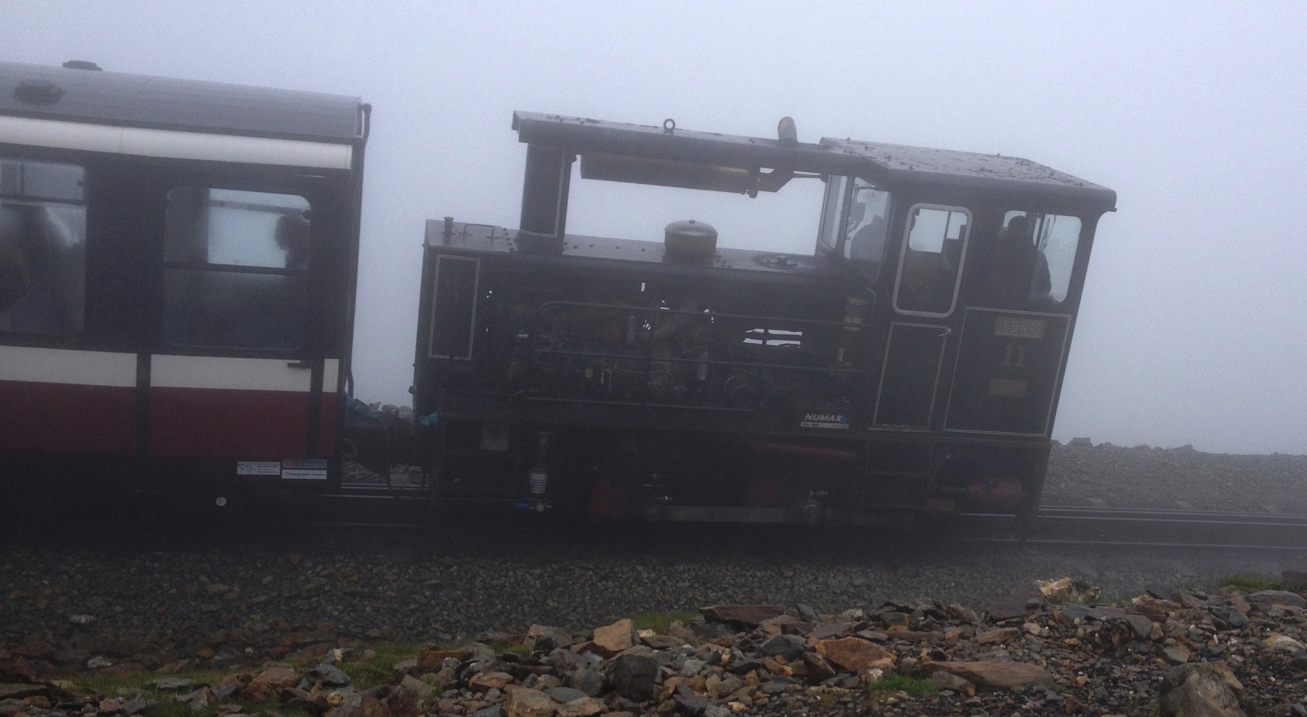
On the internet there are many reports of ‘climbers’ ill-equiped for the pursuits of the day. However, those too fearful or infirm to get up to the top under their own steam, taking the quaint little steam train almost right to the top, weren’t really going to have a problem with the shorts, simple sweatshirts, jeans, ‘plastic bag’ raincoats, etc. that they were wearing, at least not today – afterall, they were probably just going to have a cuppa in the cafe just shy of the summit and catch the next train back. Not us, however!
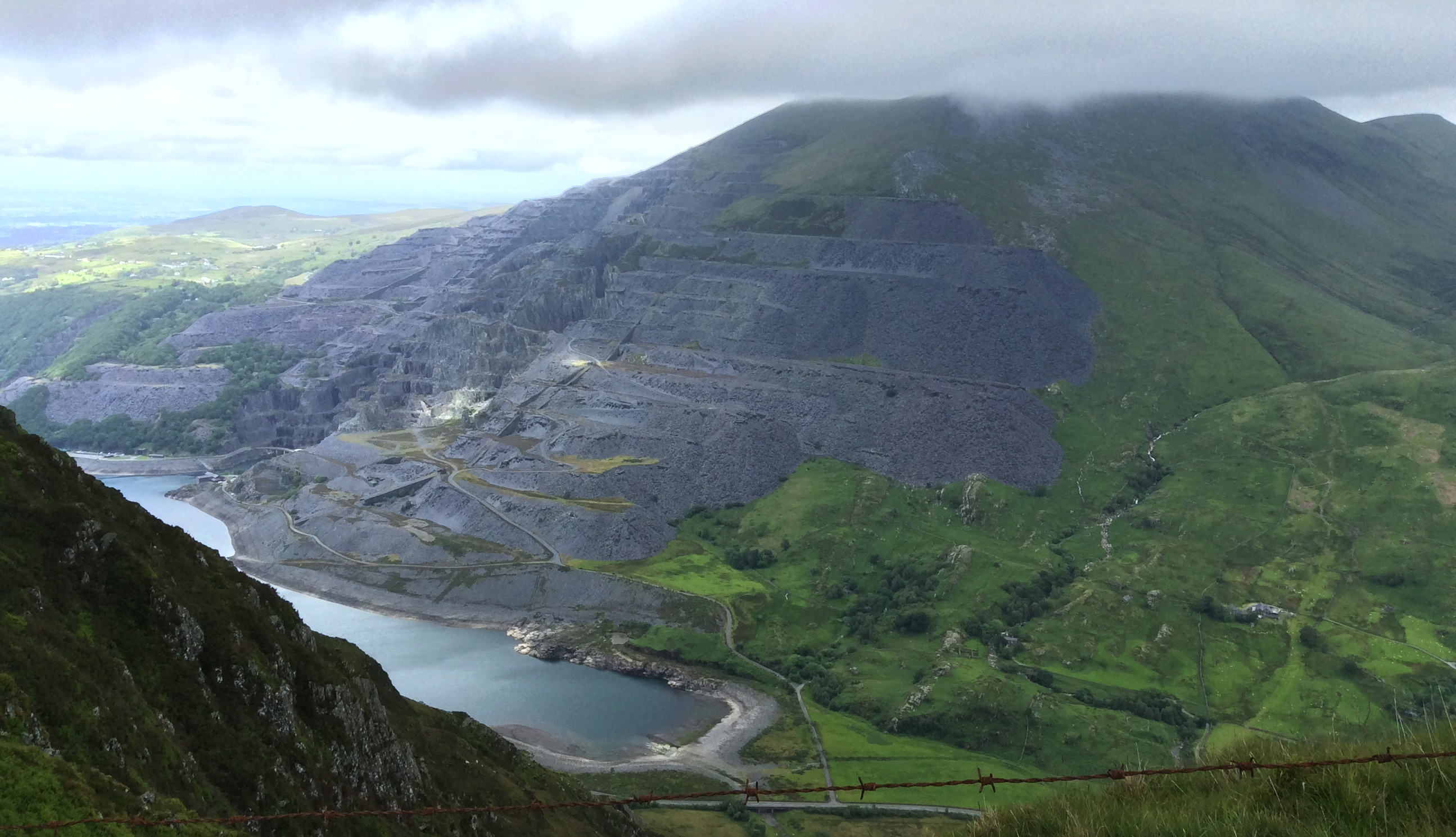
Following the railway, we headed for Nant Peris, where we would go up the Glyders (The Glyderau), starting with Elidir Fawr, the 2nd peak in our bid to ‘conquer’ the 1st half of the welsh 3000ers.
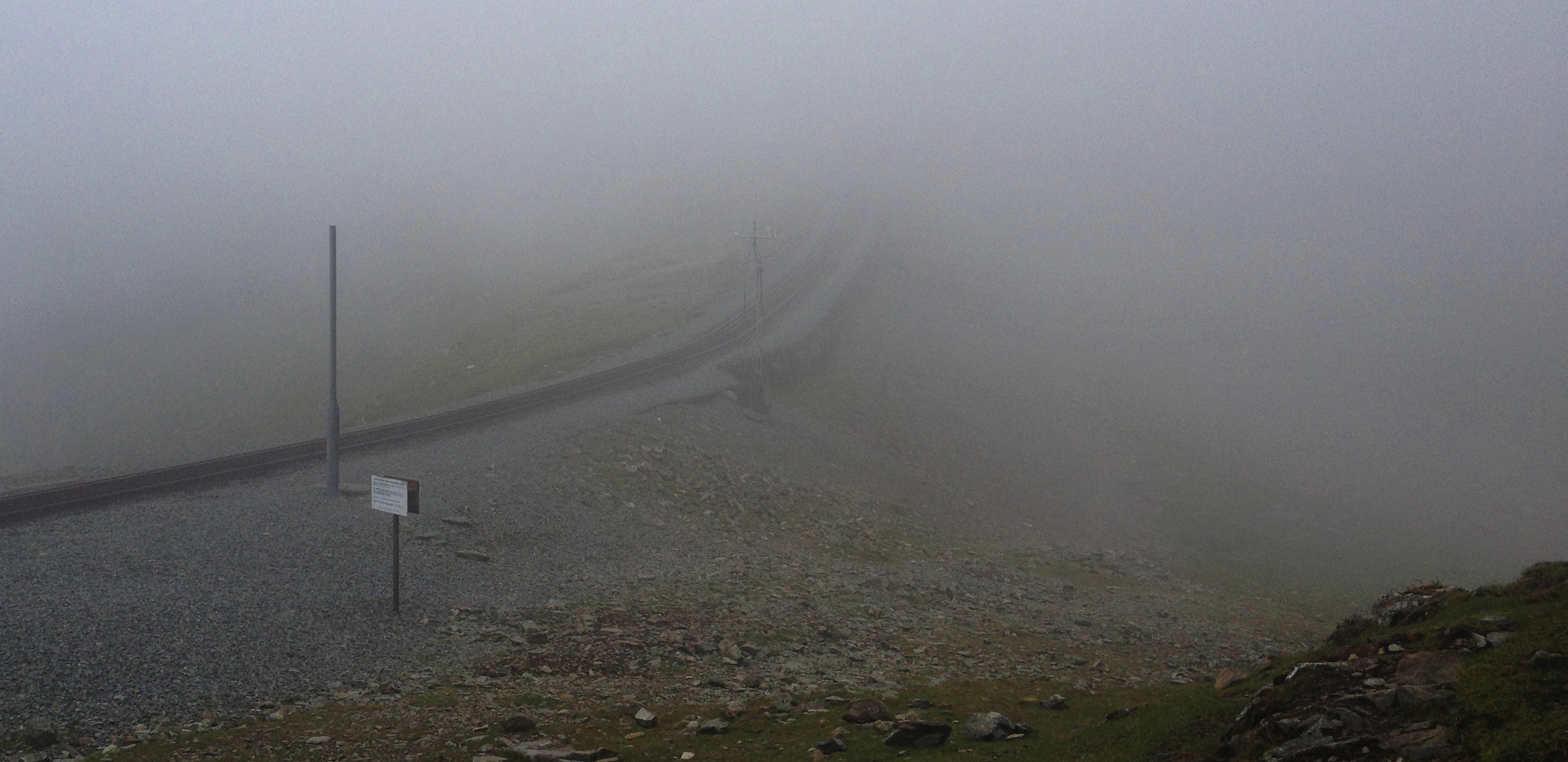
At Clogwyn train station (that’s the little shed of a building in the background of the next pic – I don’t believe there is a first class waiting room, in case you were wondering), Martin and Jes consulted the map, looking for the best way down to Nant Peris.
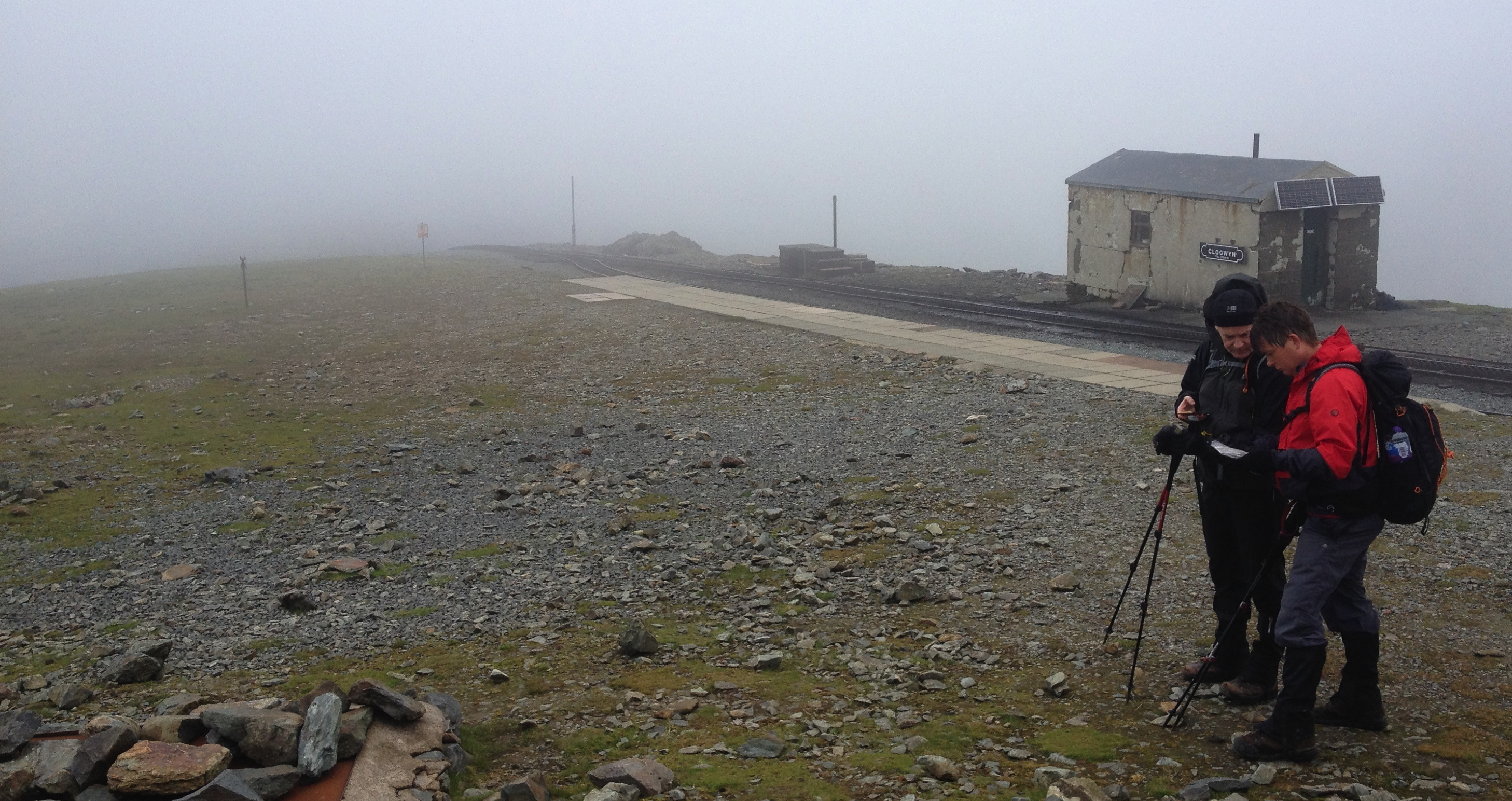
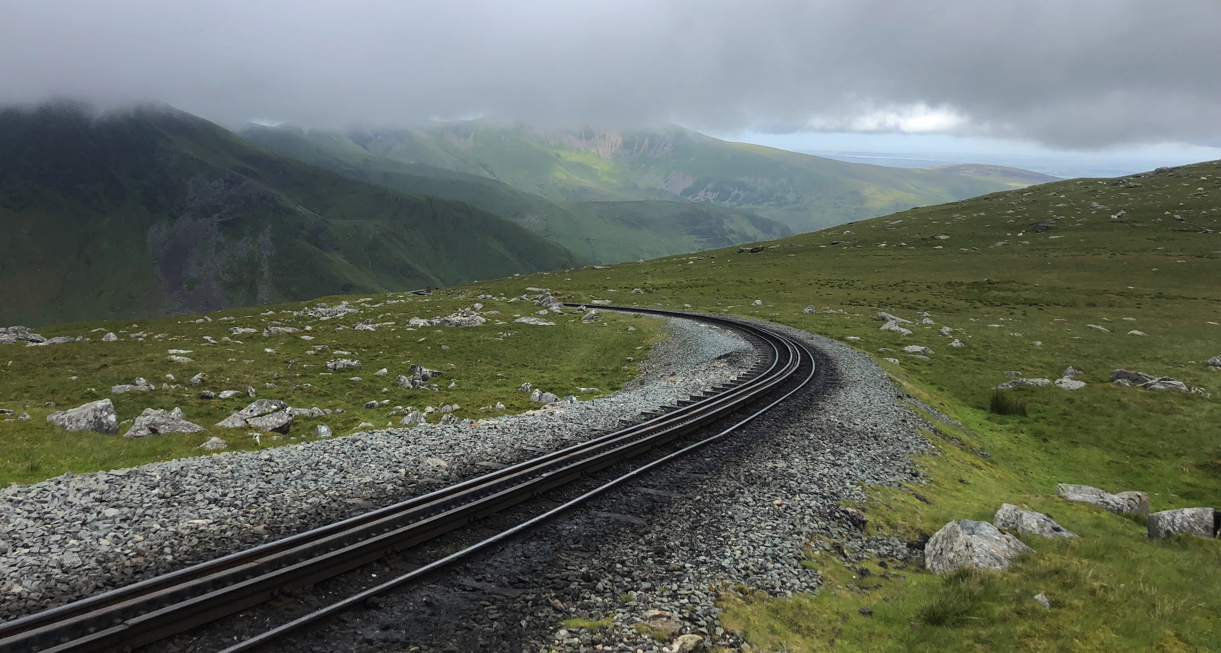
A little unsure exactly where the supposed path down into the valley actually started, we decided to carry on following the train tracks for a while.
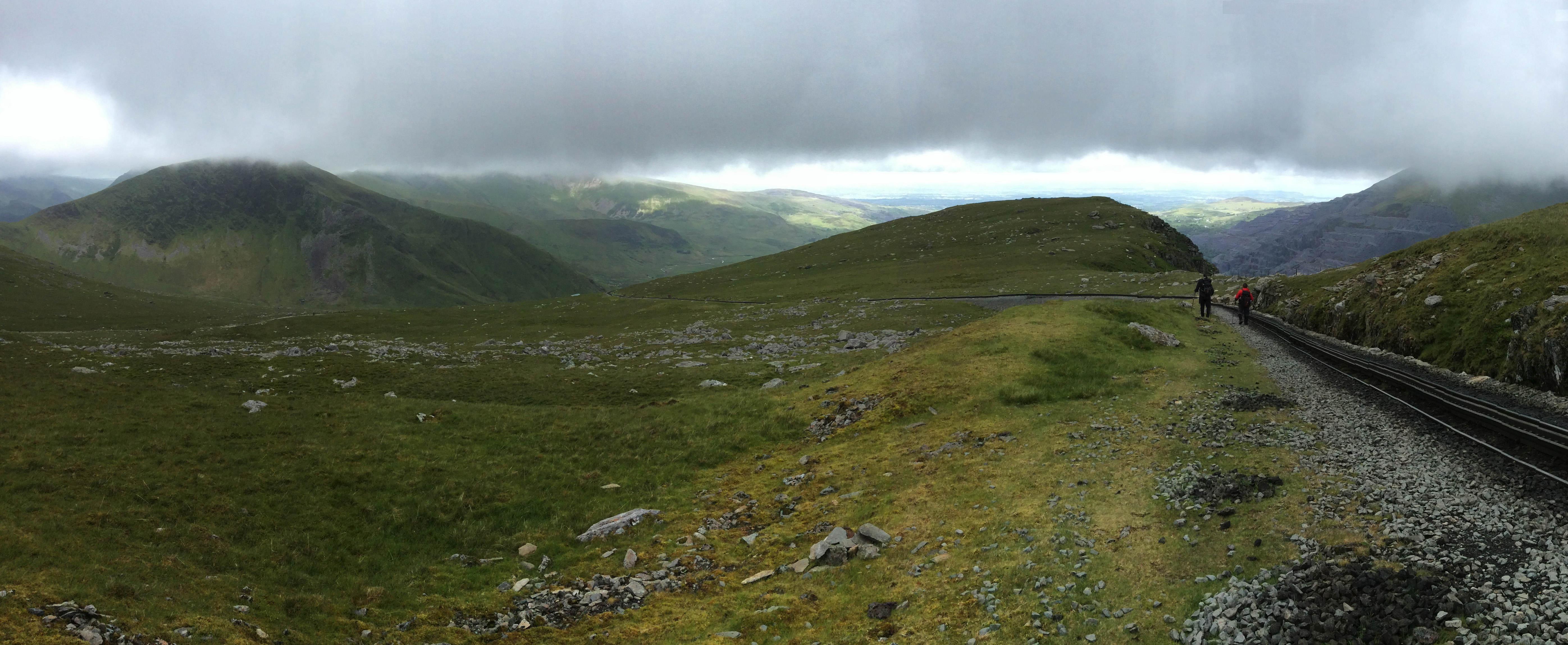
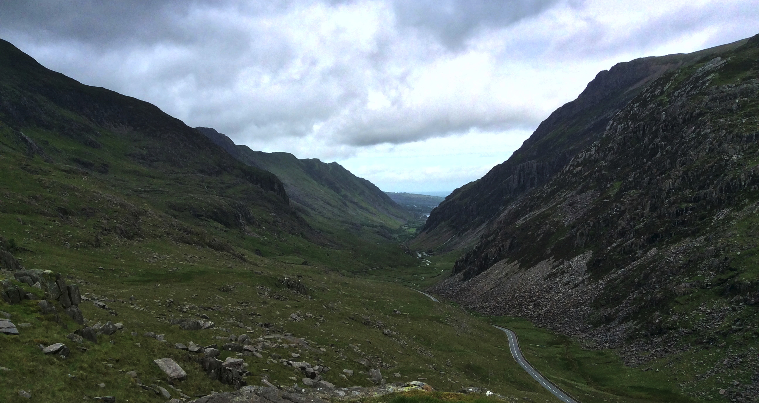
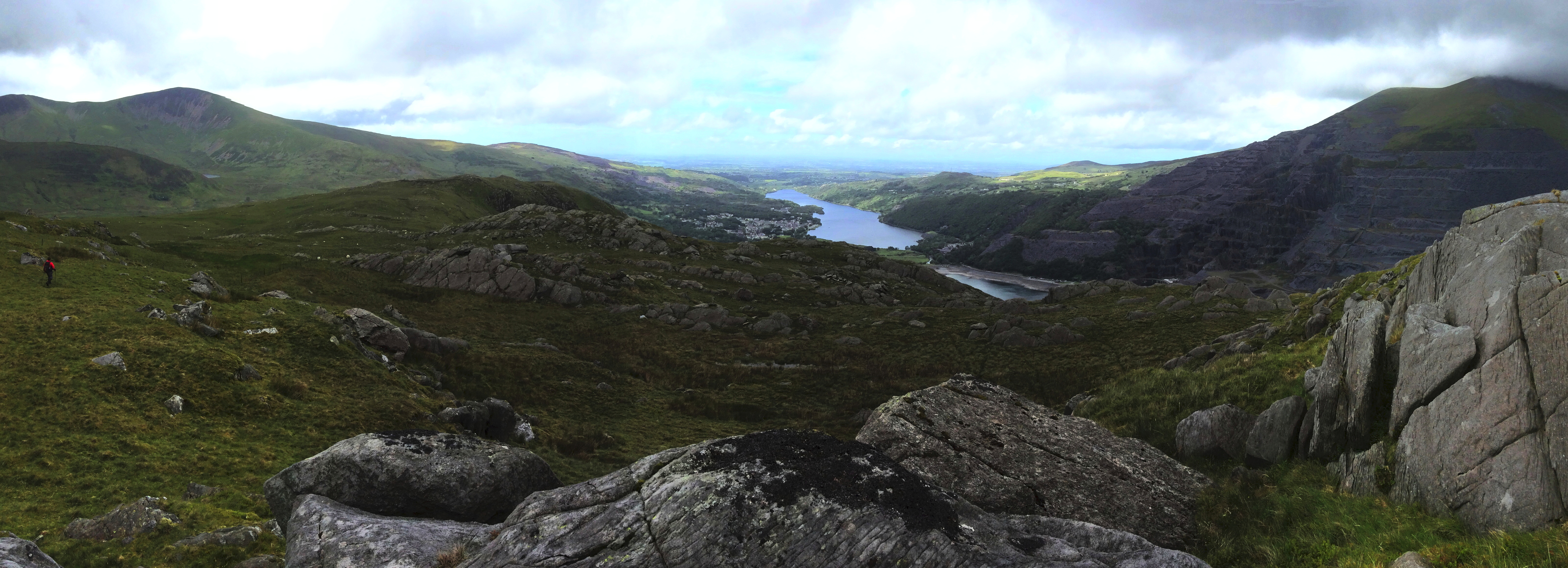
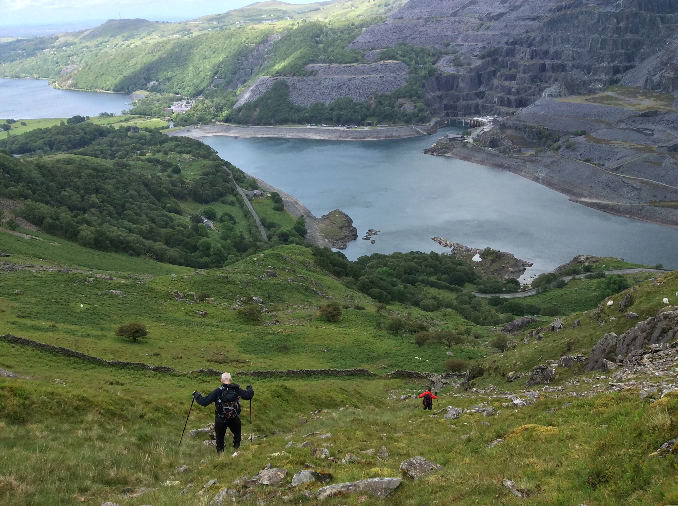
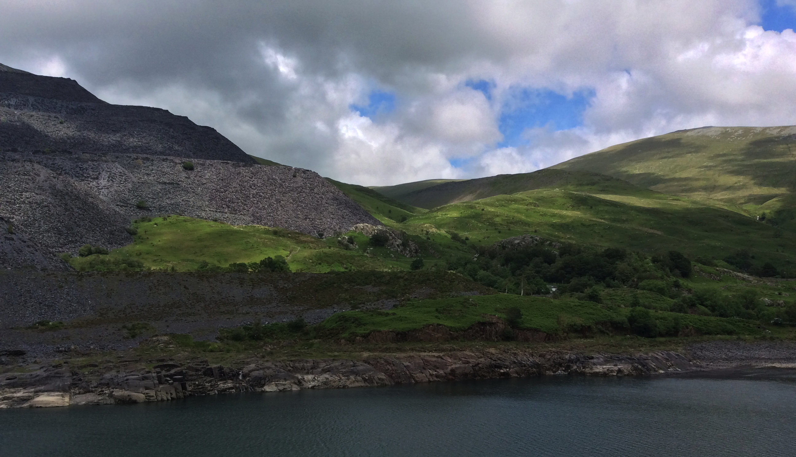
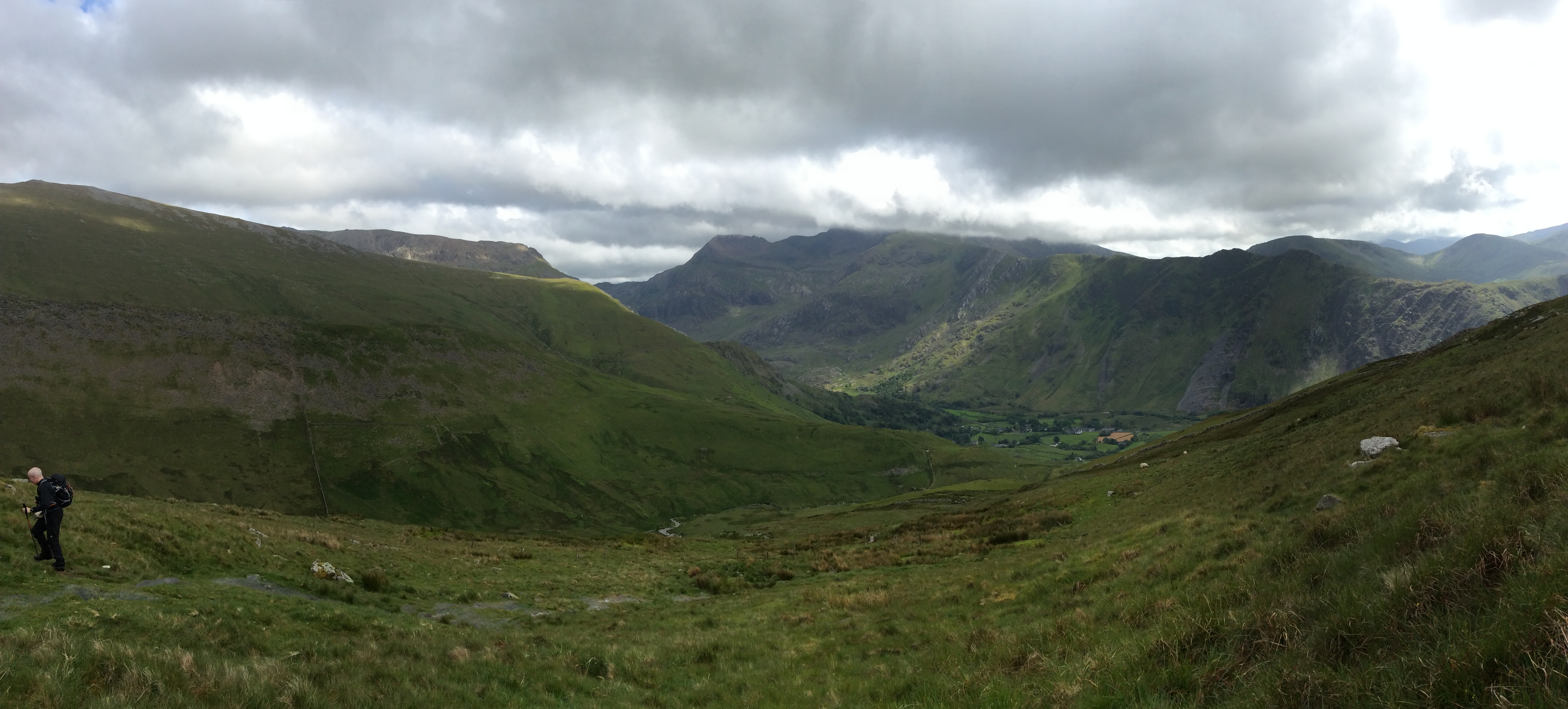
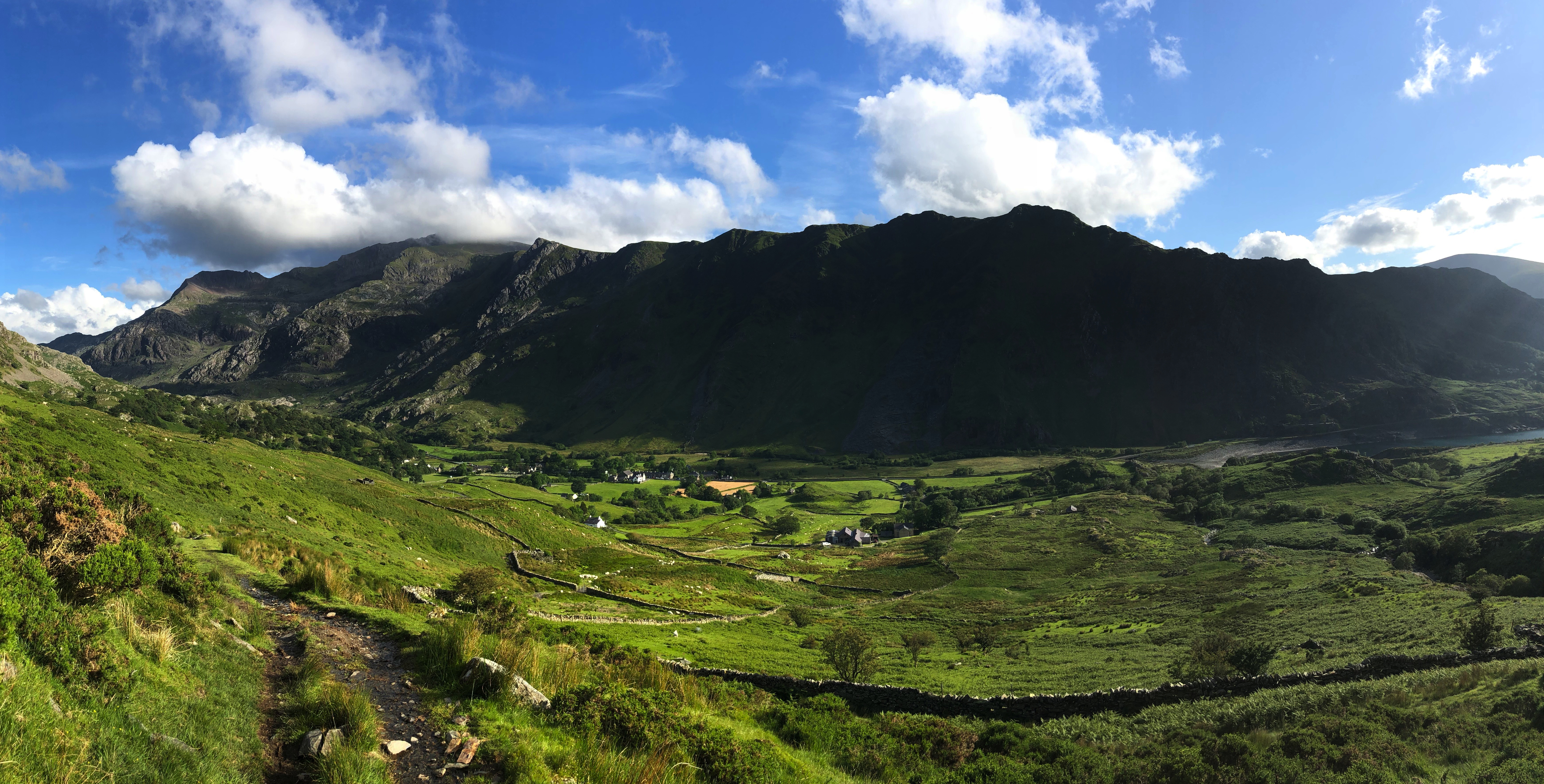
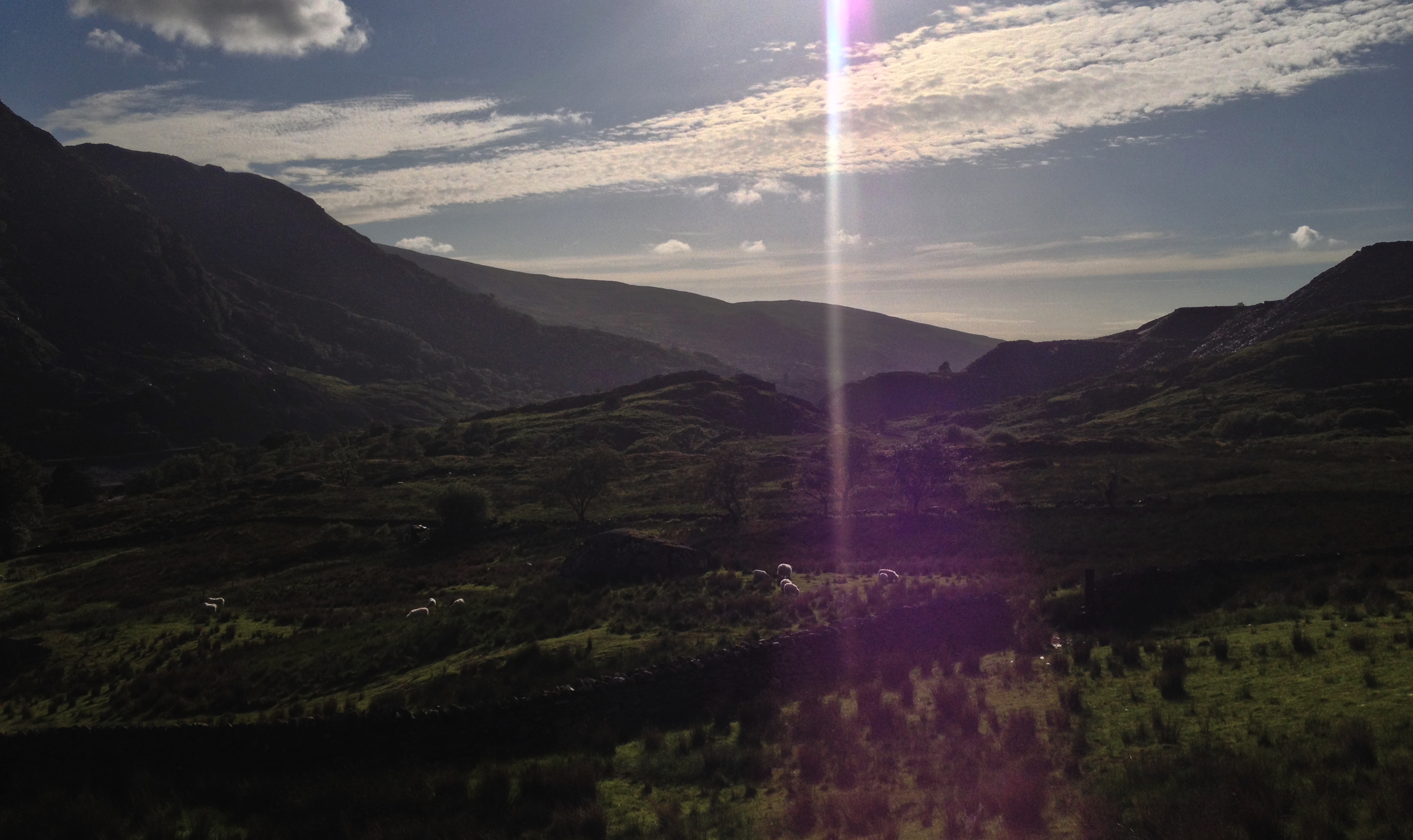
On the bright side, we were below the cloud cover, with a bit of blue sky and sunshine to be seen over the lakes in the distance.
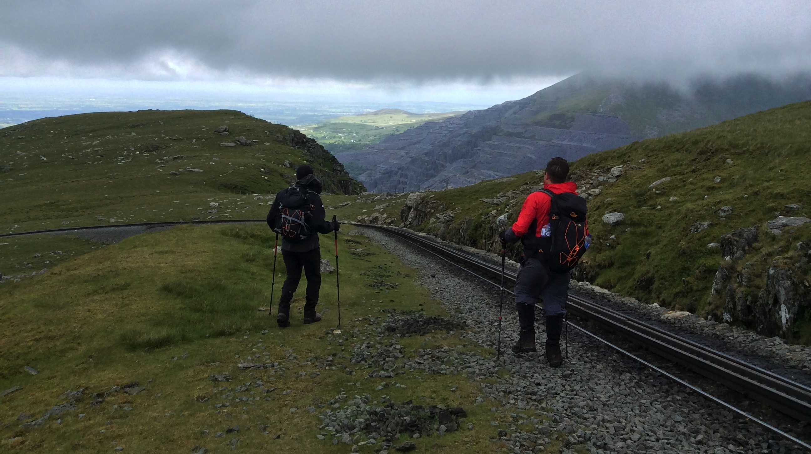
Finally, the sheer drops on the right hand side came to an end, or, at least, it looked less like being a surefire way to kill ourselves fairly quickly, and more like a possible way down into the valley.
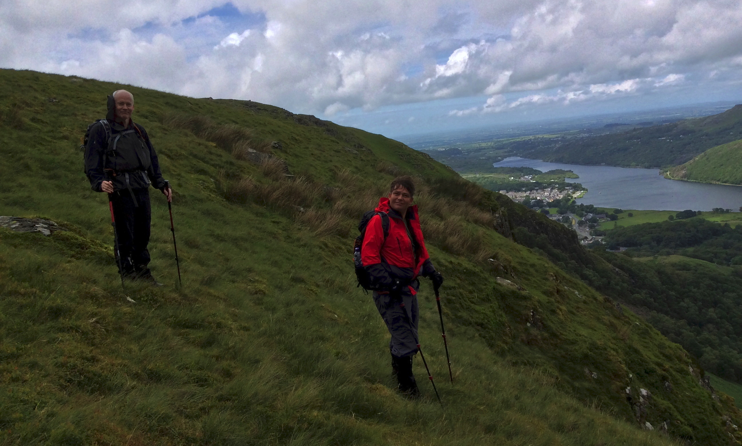
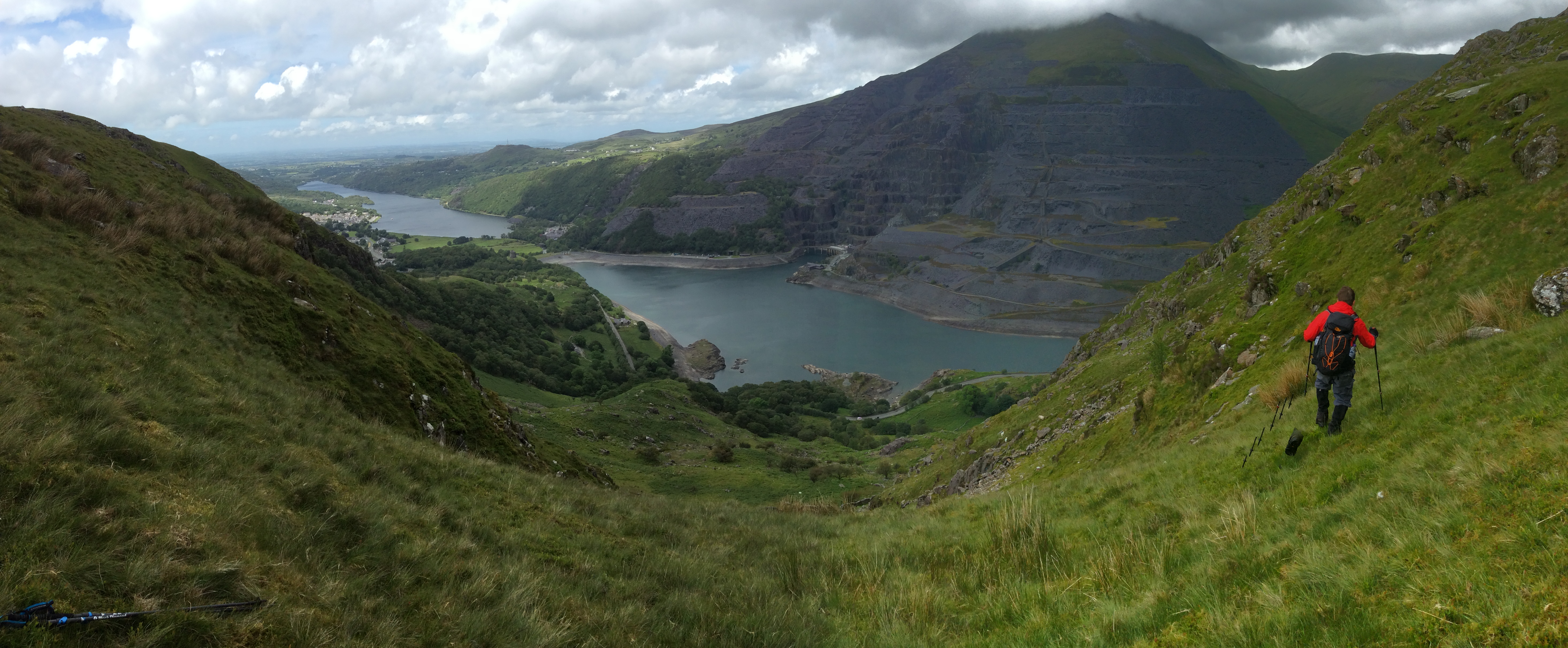
There was no real path down, and it was fairly steep, but it was doable; in places a little wet, then stoney, then grassy, it needed care, but wasn’t really dangerous.
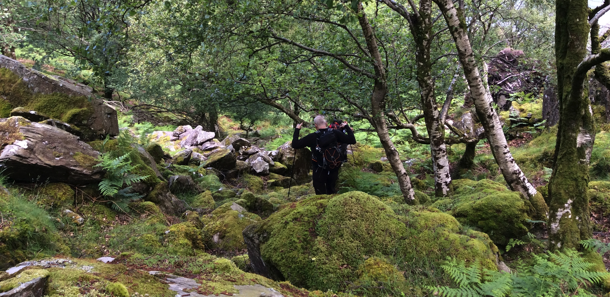
Getting to the bottom meant climbing a high dry stone wall and navigating our way over an underground river… you couldn’t see it, but you knew you were walking over it, with the sound coming from small holes between the rocks – care was needed to avoid breaking ankles and the like.

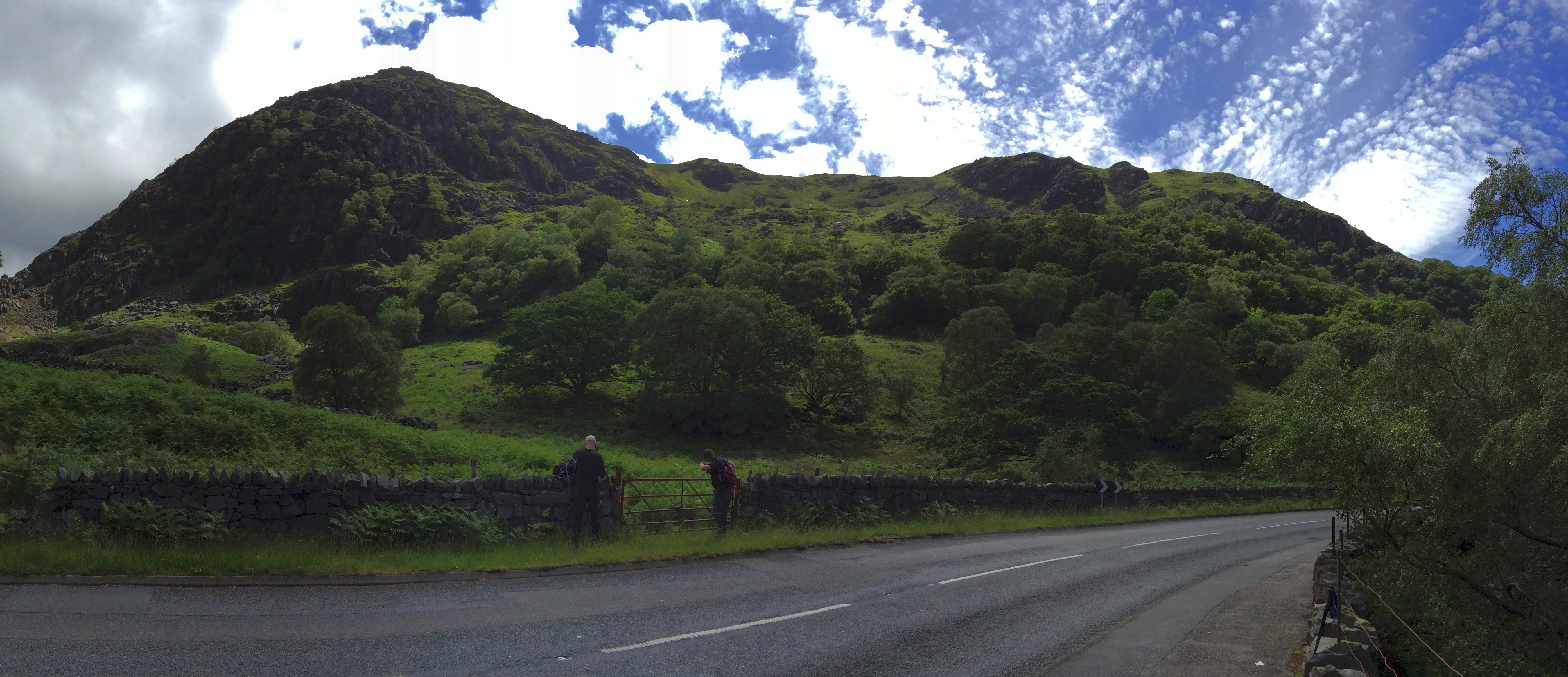
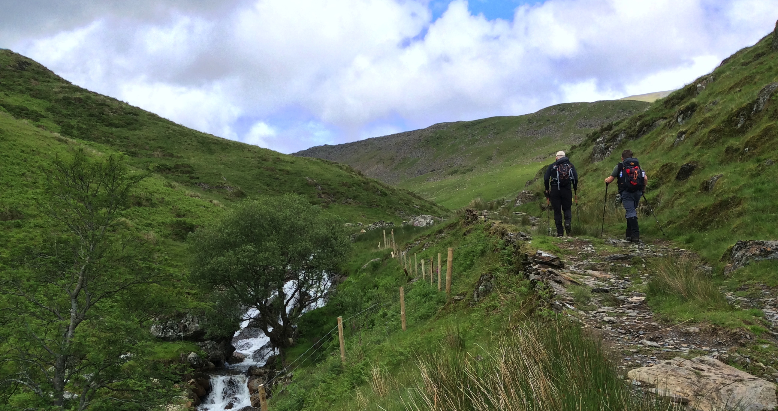
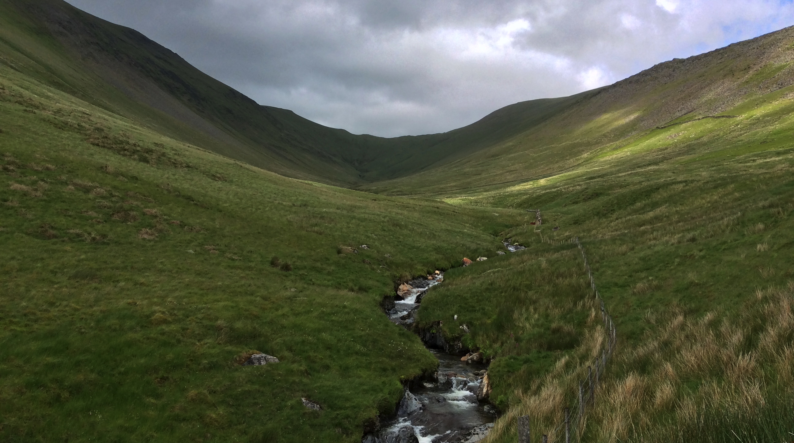
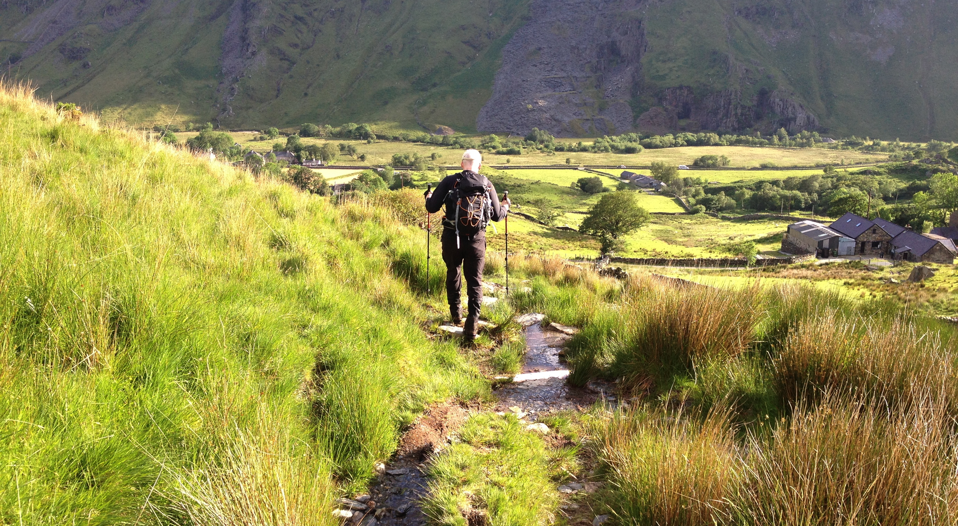
After a short break for water, sustenance and the like, we headed off towards Nant Peris to embark on the next leg, walking along the A4086 with a good view the way ahead.
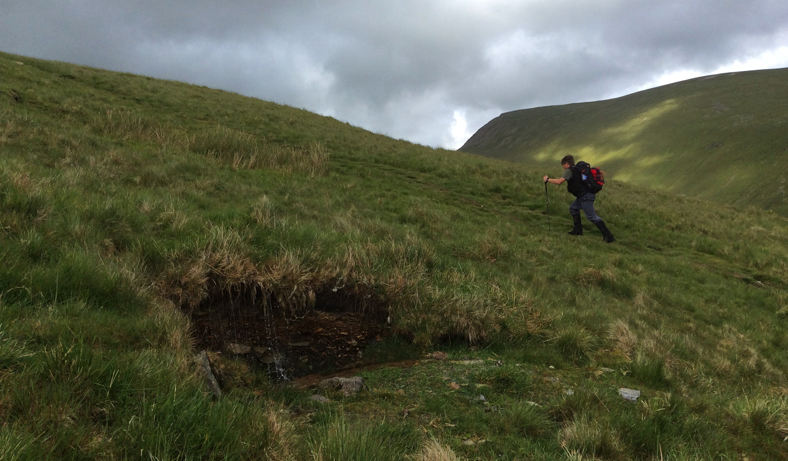
The other side of the valley where Nant Peris is situated was wet… really wet: the heavy rain made its way into the streams, but also used the paths as a way of keeping the boggy areas… well, boggy.
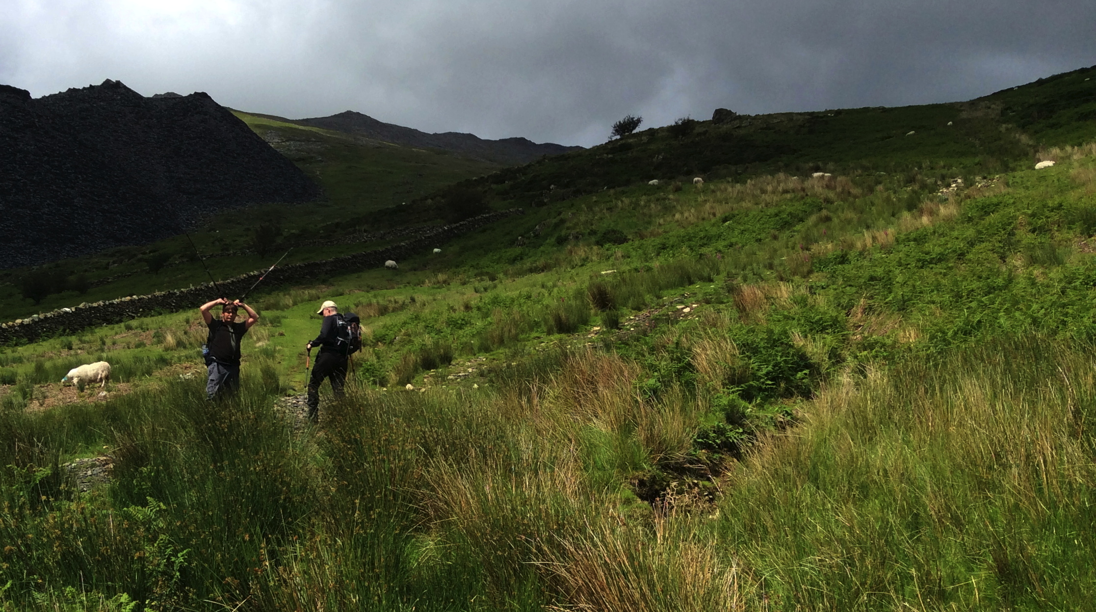
We were following the GPX data from someone we didn’t know – he was probably a fell runner who wanted the shortest way through the valley. At any rate, we hopped over a stile, where there was also a gate, but not really any real path we could see; following the GPX trail parallel to the gate seemed like a good idea to start with, but it quickly got really boggy – not my cup of tea.
Not much later, we had all had enough of it, so we doubled back, hopped over that stream, and headed up to where we figured the ‘real’ path to the summit must lie. The hill was steep; we favoured the stretch where the upper soil had been eroded… it still wasn’t great, still wet, but not so boggy.
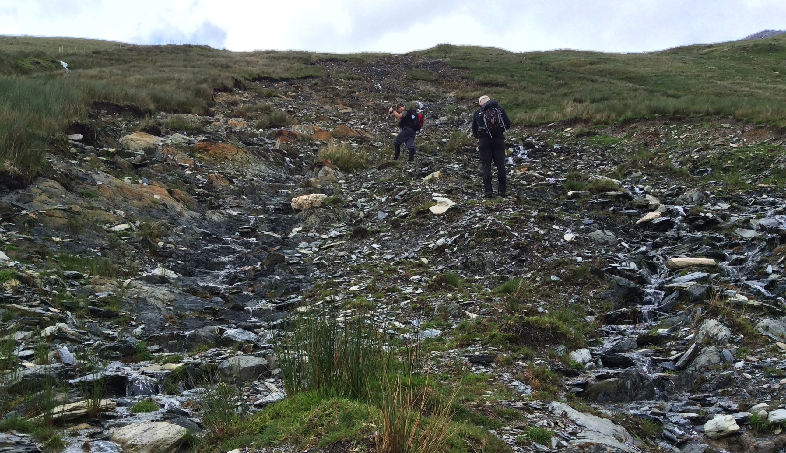
After a bit of a slog up the scree, we hit the path we should have taken in the first place, and turned up the speed a bit, as time was marching on.
Around 17:45 or so, having decided not to pursue any further peaks – the worry of missing food/beer back at the hotel was waay to high – we headed back down the way we had come.
Once the short stretch of boulders was past, things went pretty quickly – despite my fear of the way down being worse than the way up, it was actually pretty harmless.
Today I learned: if you want to do a long stretch in the welsh mountains in a decent time, you’d better know the way. We had a map, a GPX route/GPS tracker and we still went wrong twice. The looking at maps/GPS, umming and aahing about which way (plus, of course, going wrong) cost a LOT of time. That in itself was enough to scupper the original idea of doing the 3000ers in 2 days – nobody’s fault, just a fact. Didn’t matter though – we still had a good day, all in all!
Not that I’d recommend anyone follow the route(s) we took, here is a link:
Sports app: https://runmeter.com/fe2048745d9bd251/Walk-20190617-0924-29336

Leave a comment