From Osterhofen (792m), the start of the cable car up the Wendelstein in the alps, I headed in the direction of the Taubensteinhaus. The weather was cloudy, so the views weren’t always great, but the temperature was reasonable and UV exposure was reduced. At around 6km, I was up to 1180m; the going was easy, good paths / roads, not too steep; I was getting close to the start of the clouds.
Not even 1km later, I hit the first snow which my colleague, Ludwig (who knows the mountains like the back of his hands), said I would undoubtedly ‘see’ – with it being the beginning of June, and having experienced over 30 degrees the day before, it was kind of weird, even slightly unsettling, to see the road almost completely covered with snow… not dangerous, but certainly unexpected.
It didn’t take even another 45 minutes, however, to reach the top of the Taubenstein (1693m), after having hiked just over 9km; not the best view one might imagine or experience (google: Taubenstein panorama for some great views), but still worth it.
The last few metres up to the peak was one of the closest to what is called in German ‘Klettersteig’: this kinda translates as steep trail climbing – time to stow the sticks!
From the Taubenstein, it’s not too much further to the Rotwand (1885m; “red wall”) – the going is, in places, a little tougher… certainly not a ‘walk in the park’, but doable.
The last good 100m or so are somewhat steeper, but still a far cry from rock climbing.
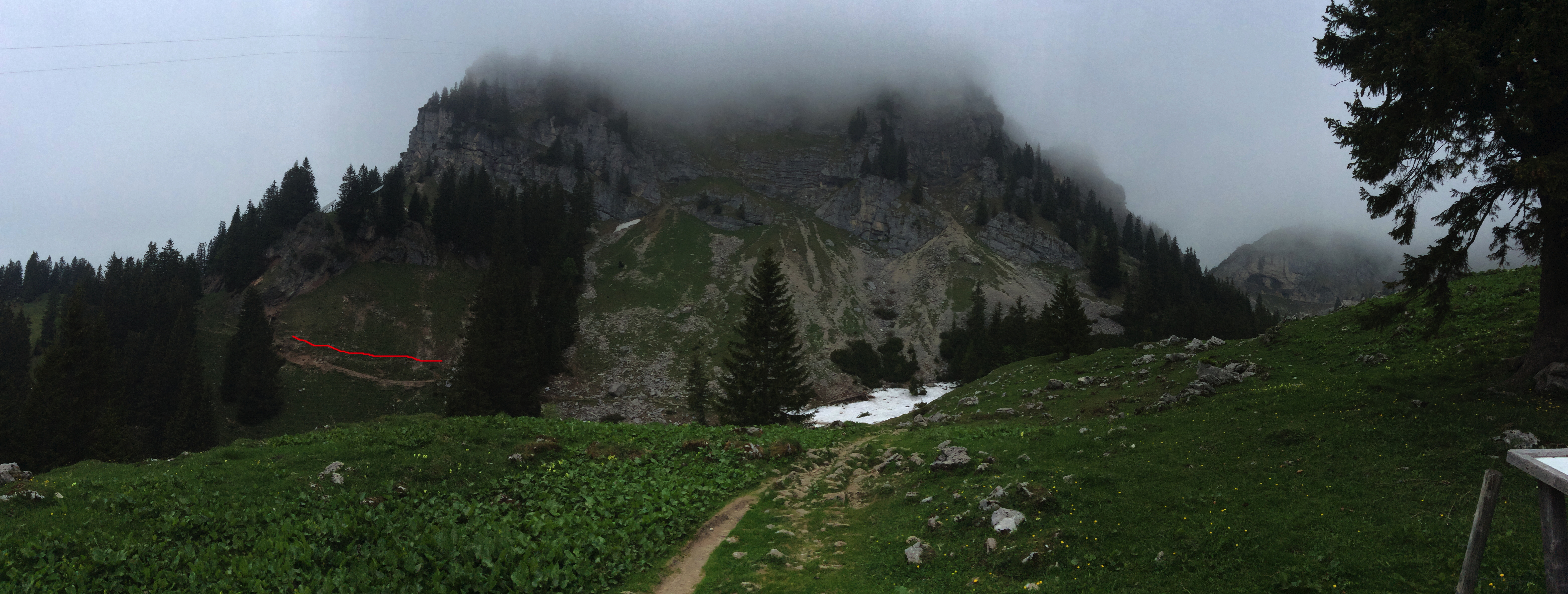
After heading back down from the peak, I had a short break at the Rotwandhaus (1730m) – yes, I had a Weißbier! Then it was time to head down, although not the way I had come. Just 5 mins after restarting the hike, I was a little unnerved to be confronted with fog and snow on a slope that looked manageable, but where I definitely had no idea about whether I was on the right route or not, despite hiking map.
It wasn’t as bad as it looked, however: just 6 minutes later I was below the cloud cover; no poles necessary, just sure footing and good boots; the snow was firm but not icy. Nevertheless, a bit further down, turning round to see where I had come from, it looked even worse, and I considered how it would have felt to be walking in the other direction (VIDEO).
After the descent, I had a good view of the Grosstiefentalalm (one of the many mountain huts/chalets), after which the rest of the going was easy – wide, well-maintained paths / roads, although sometimes a little wet (VIDEO), where I was grateful for waterproof hiking boots. The route goes past the Soinsee, a small but beautiful lake in the middle of the mountains.
The lake exited this niche amongst the mountains in the form of a lively mountain stream bubbling over waterfalls; the sounds of the water were always there, sometimes a little further, sometimes really near, until I rounded a corner to find a ‘bridge’.
The crossing I encountered here was a little adventurous… but again, as earlier on in the day, at first sight seemingly risky, but on getting closer, and then having put it behind you, really not so bad… just another reminder of how amazing it can feel to be out and about, experiencing nature, feeling the world around you and appreciating its energy.
The route went uphill after this, but nothing demanding; despite the cloudy weather I was offered a few more good views on the way to Bayrischzell.
From that point on it went downhill to Bayrischzell (800m). By the time I was in the town it was getting on (16:30) and I was wondering whether the 2nd half of my planned hike was still a good idea – I had planned with being in Bayrischzell by 14:00 at the latest, but, what with breaks to eat, orient myself, take photos and simply take in the views, I had taken, in total, much longer.
Aaaah… what the hell, I thought, “you can always turn around” (yeah, right); “you won’t need the 3 3/4 hours on the signpost anyway, if you keep up a decent pace” (now I know the formula used to ‘calculate’ these times, and that I need only 50-70% of the signposted times). So I pressed on… and, I have to say, I didn’t regret it, despite the weather turning; I was rewarded with lots of breathtaking views, hardly saw anyone, and experienced one of the most exhilarating days of my life.
As of about 1480m-ish it got steeper, sometimes with steps 40-50cm or so high; again, not real climbing at any point, but nevertheless more energetic. Then came the thunder; with the peak at around 1838m only slightly lower than the Rotwand, I was pretty sure that it wouldn’t be sensible to hit the peak with bad weather, particularly not this late in the day (18:00-ish); nevertheless, I was reluctant to turn back without having at least made it to the Wendelsteinhaus (1724m)… so, I made that my target.
A little while later it started raining… around 1560m. A sign said it was only around 20 mins to the cable car plateau, so I pulled on my rain jacket and trousers and pushed on, and made it without any dramas. Up there, at 18:30, it was deserted – everything long since closed. So I sat down under a bit of shelter, sent my girlfriend a WhatsApp letting her know I was ok and soon to be on my way down (Runmeter, my trusty sport app, had been sending her an email every 1km with my route and present whereabouts, but I figured a few words were in order, as it was really getting on). Then it was off down the mountain, with refilled water bottle and a couple of biscuits to munch on.
During / after the rain it was, of course, slippery; most of the steps were smooth wood, suboptimal when wet, but with care, however, doable and I saw a bunch of black alpine salamander, sluggish with the cold. The last few km, although pretty flat, were not great – physically, not a problem, but psychologically, I had ‘finished’ the hike before I got to the end, which made it tougher.
All in all, I was very glad to be back at the car around 20:00, without incident but at the end of the day pretty tired; at home a relaxing bath was called for and, of course, a good night’s sleep :)!
Sport app: https://runmeter.com/fe2048745d9bd251/Walk-20190606-0841-28607
Hiking map: https://alpenkarte.eu/RsE36SS

Leave a comment